2 Loring Hill Rd Hingham, MA 02043
South Hingham NeighborhoodEstimated Value: $1,808,847 - $2,017,000
4
Beds
4
Baths
3,112
Sq Ft
$619/Sq Ft
Est. Value
About This Home
This home is located at 2 Loring Hill Rd, Hingham, MA 02043 and is currently estimated at $1,925,712, approximately $618 per square foot. 2 Loring Hill Rd is a home located in Plymouth County with nearby schools including South Elementary School, Hingham Middle School, and Hingham High School.
Ownership History
Date
Name
Owned For
Owner Type
Purchase Details
Closed on
Aug 3, 2012
Sold by
Farley Peter J and Farley Deborah E
Bought by
Farley Deborah E
Current Estimated Value
Purchase Details
Closed on
Apr 1, 2004
Sold by
Alger Earl E and Alger Linda S
Bought by
Farley Peter J and Farley Deborah E
Create a Home Valuation Report for This Property
The Home Valuation Report is an in-depth analysis detailing your home's value as well as a comparison with similar homes in the area
Home Values in the Area
Average Home Value in this Area
Purchase History
| Date | Buyer | Sale Price | Title Company |
|---|---|---|---|
| Farley Deborah E | -- | -- | |
| Farley Peter J | $1,075,000 | -- |
Source: Public Records
Mortgage History
| Date | Status | Borrower | Loan Amount |
|---|---|---|---|
| Previous Owner | Farley Peter J | $350,000 | |
| Previous Owner | Farley Peter J | $155,500 | |
| Previous Owner | Farley Peter J | $325,000 |
Source: Public Records
Tax History
| Year | Tax Paid | Tax Assessment Tax Assessment Total Assessment is a certain percentage of the fair market value that is determined by local assessors to be the total taxable value of land and additions on the property. | Land | Improvement |
|---|---|---|---|---|
| 2025 | $18,635 | $1,743,200 | $771,700 | $971,500 |
| 2024 | $18,033 | $1,662,000 | $771,700 | $890,300 |
| 2023 | $15,853 | $1,585,300 | $771,700 | $813,600 |
| 2022 | $15,066 | $1,303,300 | $665,000 | $638,300 |
| 2021 | $14,816 | $1,255,600 | $665,000 | $590,600 |
| 2020 | $14,477 | $1,255,600 | $665,000 | $590,600 |
| 2019 | $14,398 | $1,219,100 | $665,000 | $554,100 |
| 2018 | $14,349 | $1,219,100 | $665,000 | $554,100 |
| 2017 | $13,958 | $1,139,400 | $664,900 | $474,500 |
| 2016 | $13,834 | $1,107,600 | $633,100 | $474,500 |
| 2015 | $14,486 | $1,156,100 | $622,600 | $533,500 |
Source: Public Records
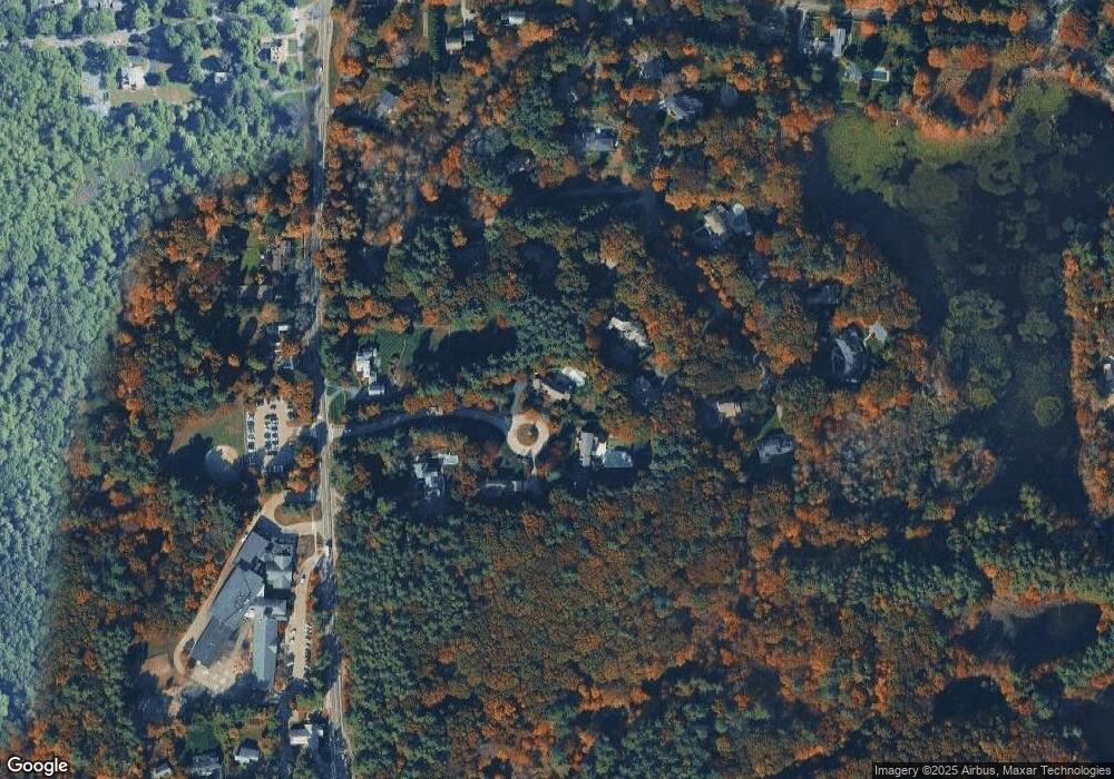
Map
Nearby Homes
- 22 Longmeadow Rd
- 32-70 Lazell St
- 9 Mast Hill Rd
- 70 Lazell St
- 5 Old County Rd
- 32 Lazell St
- 2 Black Rock Dr Unit 21
- 2 Black Rock Dr
- 1 Kerri Ln
- 4 Kerri Ln
- 1 Hemlock Rd
- 183 Gardner St
- 168 Stayner Dr Unit 168
- 428 Main St
- 12 Country Dr
- 18 Whiting Ln
- 100 Whiting St
- 6 Brewer Way
- 10 Popes Ln
- 1276 Washington St Unit A
- 4 Loring Hill Rd
- 15 Fulling Mill Ln
- 1 Loring Hill Rd
- 7 Fulling Mill Ln
- 9 Fulling Mill Ln
- 17 Fulling Mill Ln
- 822 Main St
- 800 Main St
- 810 Main St
- 5 Fulling Mill Ln
- 5 Fulling Mill Ln
- 5C Fulling Mill Ln
- 19 Fulling Mill Ln
- 12 Fulling Mill Ln
- 10 Fulling Mill Ln
- 805 Main St
- Eight Fulling Mill Ln
- 8 Fulling Mill Ln
- 801 Main St
- 803 Main St
Your Personal Tour Guide
Ask me questions while you tour the home.