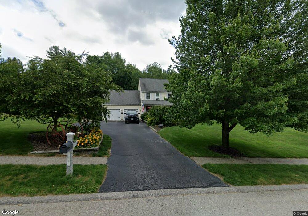
2 Mackenzie Dr Charlton, MA 01507
Estimated Value: $571,658 - $620,000
3
Beds
3
Baths
2,052
Sq Ft
$293/Sq Ft
Est. Value
About This Home
This home is located at 2 Mackenzie Dr, Charlton, MA 01507 and is currently estimated at $601,165, approximately $292 per square foot. 2 Mackenzie Dr is a home located in Worcester County with nearby schools including Shepherd Hill Regional High School.
Ownership History
Date
Name
Owned For
Owner Type
Purchase Details
Closed on
May 28, 2004
Sold by
Jb Homes Dev Corp Inc
Bought by
Barton Robbie M and Barton Sherryn M
Current Estimated Value
Home Financials for this Owner
Home Financials are based on the most recent Mortgage that was taken out on this home.
Original Mortgage
$279,920
Interest Rate
5.88%
Mortgage Type
Purchase Money Mortgage
Purchase Details
Closed on
Mar 3, 1998
Sold by
Es Butterfield Clara B and Keenan John E
Bought by
J&E Rt and Rickett Jonathan E
Create a Home Valuation Report for This Property
The Home Valuation Report is an in-depth analysis detailing your home's value as well as a comparison with similar homes in the area
Home Values in the Area
Average Home Value in this Area
Purchase History
| Date | Buyer | Sale Price | Title Company |
|---|---|---|---|
| Barton Robbie M | $349,900 | -- | |
| Barton Robbie M | $349,900 | -- | |
| J&E Rt | $4,200 | -- |
Source: Public Records
Mortgage History
| Date | Status | Borrower | Loan Amount |
|---|---|---|---|
| Open | J&E Rt | $300,000 | |
| Closed | J&E Rt | $61,699 | |
| Closed | Barton Robbie M | $279,920 |
Source: Public Records
Tax History
| Year | Tax Paid | Tax Assessment Tax Assessment Total Assessment is a certain percentage of the fair market value that is determined by local assessors to be the total taxable value of land and additions on the property. | Land | Improvement |
|---|---|---|---|---|
| 2025 | $5,780 | $519,300 | $94,000 | $425,300 |
| 2024 | $5,631 | $496,600 | $93,800 | $402,800 |
| 2023 | $5,523 | $453,800 | $89,700 | $364,100 |
| 2022 | $5,408 | $406,900 | $83,300 | $323,600 |
| 2021 | $5,497 | $366,200 | $80,300 | $285,900 |
| 2020 | $5,426 | $363,200 | $77,300 | $285,900 |
| 2019 | $5,323 | $360,400 | $77,300 | $283,100 |
| 2018 | $4,865 | $360,400 | $77,300 | $283,100 |
| 2017 | $4,773 | $338,500 | $77,300 | $261,200 |
| 2016 | $4,665 | $338,500 | $77,300 | $261,200 |
| 2015 | $4,543 | $338,500 | $77,300 | $261,200 |
| 2014 | $4,080 | $322,300 | $74,400 | $247,900 |
Source: Public Records
Map
Nearby Homes
- 8 Wamsutta Ridge Rd
- Lot 8 Coughlin Rd
- 0 Oxbow Rd
- 164 Oxford Rd
- 57 Coughlin Rd
- 105 Carroll Hill Rd
- 40 Carroll Hill Rd
- 0 Hammond Hill Rd
- 13 Dolge Ct
- 31-37 Leicester St
- 45 Leicester St
- 4 Toria Heights Rd
- 5 Maple Ave
- 8 Hycrest Rd
- 7 Hycrest Rd
- L2 Partridge Hill Rd
- L3 Partridge Hill Rd
- 707 Main St
- 6 Thayer Pond Dr Unit 11
- 9 Howarth Rd
Your Personal Tour Guide
Ask me questions while you tour the home.