2 Mallard Ln Walpole, MA 02081
Estimated Value: $501,932 - $556,000
2
Beds
2
Baths
1,285
Sq Ft
$410/Sq Ft
Est. Value
About This Home
This home is located at 2 Mallard Ln, Walpole, MA 02081 and is currently estimated at $526,233, approximately $409 per square foot. 2 Mallard Ln is a home located in Norfolk County with nearby schools including Elm Street School, Eleanor N. Johnson Middle School, and Walpole High School.
Ownership History
Date
Name
Owned For
Owner Type
Purchase Details
Closed on
Jun 17, 2013
Sold by
Kremer Joseph V
Bought by
Kremer Paul F
Current Estimated Value
Purchase Details
Closed on
Nov 26, 2002
Sold by
Law Linda M
Bought by
Kremer Joseph and Kremer Paul E
Home Financials for this Owner
Home Financials are based on the most recent Mortgage that was taken out on this home.
Original Mortgage
$75,000
Interest Rate
6.07%
Mortgage Type
Purchase Money Mortgage
Purchase Details
Closed on
Feb 1, 1994
Sold by
Budd Rt
Bought by
White Michael D and White Susan L
Home Financials for this Owner
Home Financials are based on the most recent Mortgage that was taken out on this home.
Original Mortgage
$90,000
Interest Rate
7.11%
Mortgage Type
Purchase Money Mortgage
Create a Home Valuation Report for This Property
The Home Valuation Report is an in-depth analysis detailing your home's value as well as a comparison with similar homes in the area
Home Values in the Area
Average Home Value in this Area
Purchase History
| Date | Buyer | Sale Price | Title Company |
|---|---|---|---|
| Kremer Paul F | -- | -- | |
| Kremer Joseph | $269,000 | -- | |
| White Michael D | $133,000 | -- |
Source: Public Records
Mortgage History
| Date | Status | Borrower | Loan Amount |
|---|---|---|---|
| Previous Owner | Kremer Joseph | $75,000 | |
| Previous Owner | White Michael D | $90,000 | |
| Previous Owner | White Michael D | $3,000 |
Source: Public Records
Tax History
| Year | Tax Paid | Tax Assessment Tax Assessment Total Assessment is a certain percentage of the fair market value that is determined by local assessors to be the total taxable value of land and additions on the property. | Land | Improvement |
|---|---|---|---|---|
| 2025 | $5,620 | $438,000 | $0 | $438,000 |
| 2024 | $5,411 | $409,300 | $0 | $409,300 |
| 2023 | $4,975 | $358,200 | $0 | $358,200 |
| 2022 | $4,527 | $313,100 | $0 | $313,100 |
| 2021 | $4,651 | $313,400 | $0 | $313,400 |
| 2020 | $4,428 | $295,400 | $0 | $295,400 |
| 2019 | $4,331 | $286,800 | $0 | $286,800 |
| 2018 | $4,132 | $270,600 | $0 | $270,600 |
| 2017 | $3,909 | $255,000 | $0 | $255,000 |
| 2016 | $3,775 | $242,600 | $0 | $242,600 |
| 2015 | $3,485 | $222,000 | $0 | $222,000 |
| 2014 | $3,433 | $217,800 | $0 | $217,800 |
Source: Public Records
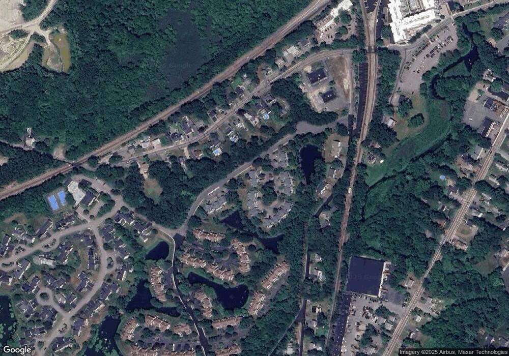
Map
Nearby Homes
- 26 Drake Cir
- 1110 Main St
- 50 Riverside Place
- 224 School St Unit 9
- 222 School St Unit 9
- 145 South St Unit 5
- 260 Elm St
- 1391 Main St Unit 308
- 1391 Main St Unit 306
- 1391 Main St Unit 304
- 881 Main St Unit 9
- 31 Sandtrap Cir Unit 500
- 10 Sandtrap Cir Unit 2
- 13 Sandtrap Cir Unit 14
- 11 Sandtrap Cir Unit 15
- 20 Sandtrap Cir Unit 4
- 19 Sandtrap Cir Unit 11
- 14 Weathervane Dr Unit 22
- 18 Sandtrap Cir Unit 3
- 17 Sandtrap Cir Unit 12
- 1 Mallard Ln
- 3 Mallard Ln
- 4 Mallard Ln
- 1 Mallard Ln Unit 1
- 2 Mallard Ln Unit 5
- 3 Mallard Ln Unit 3
- 3 Mallard Ln Unit 26
- 5 Mallard Ln
- 7 Mallard Ln
- 8 Mallard Ln
- 9 Mallard Ln
- 5 Mallard Ln Unit 5
- 7 Mallard Ln Unit 7
- 6 Mallard Ln
- 10 Mallard Ln
- 27 Mallard Ln
- 27 Mallard Ln Unit 27,27
- 19 Mallard Ln
- 20 Mallard Ln
- 21 Mallard Ln
Your Personal Tour Guide
Ask me questions while you tour the home.