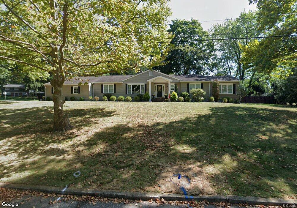
2 Mallard Rd Middletown, NJ 07748
New Monmouth NeighborhoodEstimated Value: $936,445 - $1,048,000
3
Beds
2
Baths
2,395
Sq Ft
$415/Sq Ft
Est. Value
About This Home
This home is located at 2 Mallard Rd, Middletown, NJ 07748 and is currently estimated at $992,861, approximately $414 per square foot. 2 Mallard Rd is a home located in Monmouth County with nearby schools including Nut Swamp Elementary School, Thompson Middle School, and Middletown - South High School.
Ownership History
Date
Name
Owned For
Owner Type
Purchase Details
Closed on
Apr 1, 2005
Sold by
Goldstein Raymond
Bought by
Mchale David G and Mchale Jennifer M
Current Estimated Value
Home Financials for this Owner
Home Financials are based on the most recent Mortgage that was taken out on this home.
Original Mortgage
$260,000
Outstanding Balance
$134,954
Interest Rate
5.87%
Mortgage Type
Purchase Money Mortgage
Estimated Equity
$857,907
Create a Home Valuation Report for This Property
The Home Valuation Report is an in-depth analysis detailing your home's value as well as a comparison with similar homes in the area
Home Values in the Area
Average Home Value in this Area
Purchase History
| Date | Buyer | Sale Price | Title Company |
|---|---|---|---|
| Mchale David G | $476,500 | -- |
Source: Public Records
Mortgage History
| Date | Status | Borrower | Loan Amount |
|---|---|---|---|
| Open | Mchale David G | $260,000 |
Source: Public Records
Tax History
| Year | Tax Paid | Tax Assessment Tax Assessment Total Assessment is a certain percentage of the fair market value that is determined by local assessors to be the total taxable value of land and additions on the property. | Land | Improvement |
|---|---|---|---|---|
| 2025 | $13,292 | $873,000 | $545,000 | $328,000 |
| 2024 | $13,914 | $808,000 | $486,000 | $322,000 |
Source: Public Records
Map
Nearby Homes
- 44 Tall Tree Rd
- 77 Bunker Hill Dr
- 7 Shire Way
- 34 Southview Terrace S
- 3 Deridder Ct
- 7 Cormorant Dr
- 164 Heights Terrace
- 911 Middletown Lincroft Rd
- 129 Four Winds Dr
- 185 Ballantine Rd
- 41 Polly Way
- 0 Hamiltonian Dr Unit 22600718
- 35 Woodland Dr
- 6 Twin Brooks Ct
- 9 Johnny Ct
- 158 Willow Grove Dr
- 62 Cypress Neck Rd
- 2103 Buckingham Cir
- 30 Winchester Ln
- 33 Winchester Ln
Your Personal Tour Guide
Ask me questions while you tour the home.