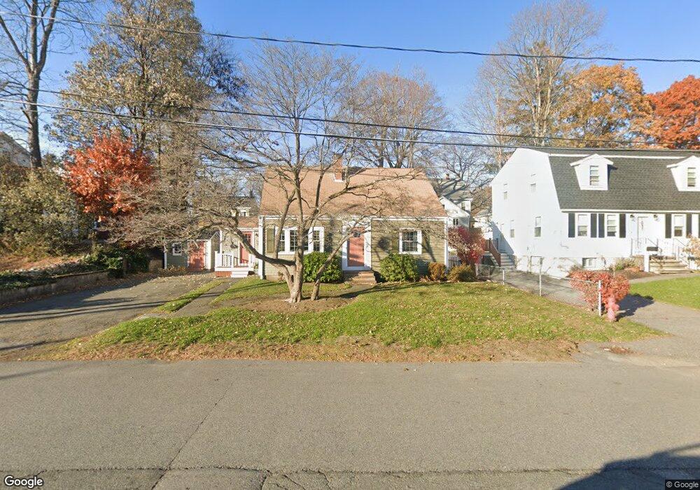
2 Manning St Woburn, MA 01801
Downtown Woburn NeighborhoodEstimated Value: $625,868 - $708,000
3
Beds
1
Bath
1,343
Sq Ft
$500/Sq Ft
Est. Value
About This Home
This home is located at 2 Manning St, Woburn, MA 01801 and is currently estimated at $671,467, approximately $499 per square foot. 2 Manning St is a home located in Middlesex County with nearby schools including Malcolm White Elementary School, John F. Kennedy Middle School, and Woburn High School.
Create a Home Valuation Report for This Property
The Home Valuation Report is an in-depth analysis detailing your home's value as well as a comparison with similar homes in the area
Home Values in the Area
Average Home Value in this Area
Tax History Compared to Growth
Tax History
| Year | Tax Paid | Tax Assessment Tax Assessment Total Assessment is a certain percentage of the fair market value that is determined by local assessors to be the total taxable value of land and additions on the property. | Land | Improvement |
|---|---|---|---|---|
| 2025 | $4,597 | $538,300 | $282,600 | $255,700 |
| 2024 | $4,129 | $512,300 | $269,200 | $243,100 |
| 2023 | $4,046 | $465,000 | $244,700 | $220,300 |
| 2022 | $3,917 | $419,400 | $212,800 | $206,600 |
| 2021 | $14,387 | $407,200 | $202,600 | $204,600 |
| 2020 | $3,614 | $387,800 | $202,600 | $185,200 |
| 2019 | $3,526 | $371,200 | $193,000 | $178,200 |
| 2018 | $3,421 | $345,900 | $177,100 | $168,800 |
| 2017 | $8,601 | $321,100 | $168,700 | $152,400 |
| 2016 | $3,043 | $302,800 | $157,600 | $145,200 |
| 2015 | $2,926 | $287,700 | $147,300 | $140,400 |
| 2014 | $2,774 | $265,700 | $147,300 | $118,400 |
Source: Public Records
Map
Nearby Homes
- 14 Church Ave
- 14 Church Ave Unit 2
- 18 Church St Unit 2
- 602 Main St Unit 1
- 21 Franklin St
- 11 Hovey St
- 37 1/2 Chestnut St
- 9 Wade Ave
- 477 Main St
- 26 Flagg St
- 462 Place Ln
- 166 Place Ln Unit 166
- 168 Place Ln
- 34 Union St
- 8 Clinton St
- 18 Hamilton Rd
- 17 Wright St
- 7 Prospect St
- 2 Eastern Ave
- 74 Beach St Unit 6-12