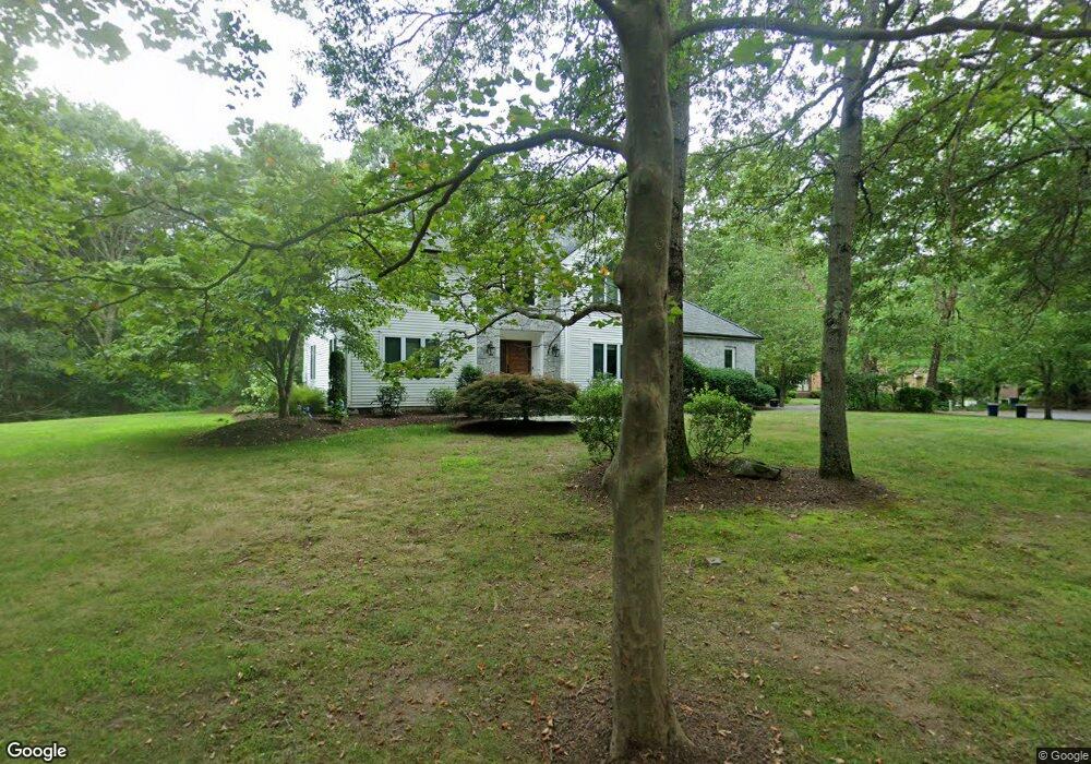
2 Manning Way Sharon, MA 02067
Estimated Value: $1,174,572 - $1,495,000
4
Beds
4
Baths
2,998
Sq Ft
$438/Sq Ft
Est. Value
About This Home
This home is located at 2 Manning Way, Sharon, MA 02067 and is currently estimated at $1,313,143, approximately $438 per square foot. 2 Manning Way is a home located in Norfolk County with nearby schools including East Elementary School, Sharon Middle School, and Sharon High School.
Ownership History
Date
Name
Owned For
Owner Type
Purchase Details
Closed on
Sep 28, 2021
Sold by
Rudman Melissa K and Rudman Jeffrey A
Bought by
Melissa Rudman Lt
Current Estimated Value
Purchase Details
Closed on
Aug 7, 2000
Sold by
Rubin Robert F and Rubin Jennifer S
Bought by
Rudman Jeffrey A and Rudman Melissa K
Purchase Details
Closed on
Jan 19, 1995
Sold by
Intoccia Constr Co Inc
Bought by
Rubin Robert F and Rubin Jennifer S
Purchase Details
Closed on
Sep 28, 1994
Sold by
Dicks Earl W and Dicks Steven E
Bought by
Intoccia Constr Co Inc
Create a Home Valuation Report for This Property
The Home Valuation Report is an in-depth analysis detailing your home's value as well as a comparison with similar homes in the area
Home Values in the Area
Average Home Value in this Area
Purchase History
| Date | Buyer | Sale Price | Title Company |
|---|---|---|---|
| Melissa Rudman Lt | -- | None Available | |
| Rudman Jeffrey A | $627,500 | -- | |
| Rubin Robert F | $407,000 | -- | |
| Intoccia Constr Co Inc | $140,000 | -- |
Source: Public Records
Mortgage History
| Date | Status | Borrower | Loan Amount |
|---|---|---|---|
| Previous Owner | Intoccia Constr Co Inc | $560,000 | |
| Previous Owner | Intoccia Constr Co Inc | $38,000 |
Source: Public Records
Tax History Compared to Growth
Tax History
| Year | Tax Paid | Tax Assessment Tax Assessment Total Assessment is a certain percentage of the fair market value that is determined by local assessors to be the total taxable value of land and additions on the property. | Land | Improvement |
|---|---|---|---|---|
| 2025 | $18,034 | $1,031,700 | $441,000 | $590,700 |
| 2024 | $17,413 | $990,500 | $404,700 | $585,800 |
| 2023 | $16,335 | $878,700 | $378,300 | $500,400 |
| 2022 | $15,654 | $792,600 | $315,200 | $477,400 |
| 2021 | $15,549 | $761,100 | $297,200 | $463,900 |
| 2020 | $14,717 | $774,600 | $310,700 | $463,900 |
| 2019 | $14,109 | $726,900 | $263,000 | $463,900 |
| 2018 | $13,981 | $721,800 | $257,900 | $463,900 |
| 2017 | $15,708 | $800,600 | $291,700 | $508,900 |
| 2016 | $15,207 | $756,200 | $291,700 | $464,500 |
| 2015 | $15,000 | $738,900 | $265,400 | $473,500 |
| 2014 | $14,843 | $722,300 | $287,000 | $435,300 |
Source: Public Records
Map
Nearby Homes
- 157 Wilshire Dr
- 114 Powell St
- 49 Powell St
- 343 West St
- 12 Eastwood Rd
- 17 Donald Rd
- 2040 Central St
- 32 Marys Way
- 74 Eisenhower Dr
- 103 Kim Terrace Unit A
- Lot 4 West St
- 42 Bayberry Dr Unit 1
- 4 Bayberry Dr Unit 3
- 2 Palace Ct
- 39 Christopher Dr Unit B
- 6 Tall Tree Rd
- 15 Paul Revere Rd
- 438 School St
- 133 Greenbrook Dr Unit 133
- 117 Greenbrook Dr