2 Manor Farm Way Carver, MA 02330
Estimated Value: $997,000 - $1,173,455
5
Beds
4
Baths
3,836
Sq Ft
$283/Sq Ft
Est. Value
About This Home
This home is located at 2 Manor Farm Way, Carver, MA 02330 and is currently estimated at $1,086,114, approximately $283 per square foot. 2 Manor Farm Way is a home located in Plymouth County with nearby schools including Carver Elementary School, Rising Tide Charter Public School, and Map Academy Charter School.
Ownership History
Date
Name
Owned For
Owner Type
Purchase Details
Closed on
Feb 24, 2004
Sold by
Keewayden Nt and May Eleanor K
Bought by
Mahoney Edward and Mahoney Deirdre
Current Estimated Value
Purchase Details
Closed on
Jan 16, 2002
Sold by
Keewayden Nt and May Eleanor K
Bought by
186 High St Rt and May Daniel G
Create a Home Valuation Report for This Property
The Home Valuation Report is an in-depth analysis detailing your home's value as well as a comparison with similar homes in the area
Home Values in the Area
Average Home Value in this Area
Purchase History
| Date | Buyer | Sale Price | Title Company |
|---|---|---|---|
| Mahoney Edward | $245,000 | -- | |
| 186 High St Rt | $15,000 | -- |
Source: Public Records
Mortgage History
| Date | Status | Borrower | Loan Amount |
|---|---|---|---|
| Open | 186 High St Rt | $225,346 | |
| Closed | 186 High St Rt | $20,000 | |
| Closed | 186 High St Rt | $225,000 |
Source: Public Records
Tax History Compared to Growth
Tax History
| Year | Tax Paid | Tax Assessment Tax Assessment Total Assessment is a certain percentage of the fair market value that is determined by local assessors to be the total taxable value of land and additions on the property. | Land | Improvement |
|---|---|---|---|---|
| 2025 | $14,533 | $1,047,800 | $192,600 | $855,200 |
| 2024 | $13,559 | $956,900 | $188,700 | $768,200 |
| 2023 | $12,921 | $885,600 | $188,700 | $696,900 |
| 2022 | $12,319 | $770,900 | $161,400 | $609,500 |
| 2021 | $0 | $715,400 | $144,300 | $571,100 |
| 2020 | $5,356 | $677,700 | $134,700 | $543,000 |
| 2019 | $3,429 | $659,200 | $130,700 | $528,500 |
| 2018 | $7,587 | $611,800 | $130,700 | $481,100 |
| 2017 | $5,225 | $599,600 | $125,900 | $473,700 |
| 2016 | $9,848 | $578,300 | $119,900 | $458,400 |
| 2015 | $9,592 | $563,900 | $119,900 | $444,000 |
| 2014 | $8,898 | $523,100 | $151,400 | $371,700 |
Source: Public Records
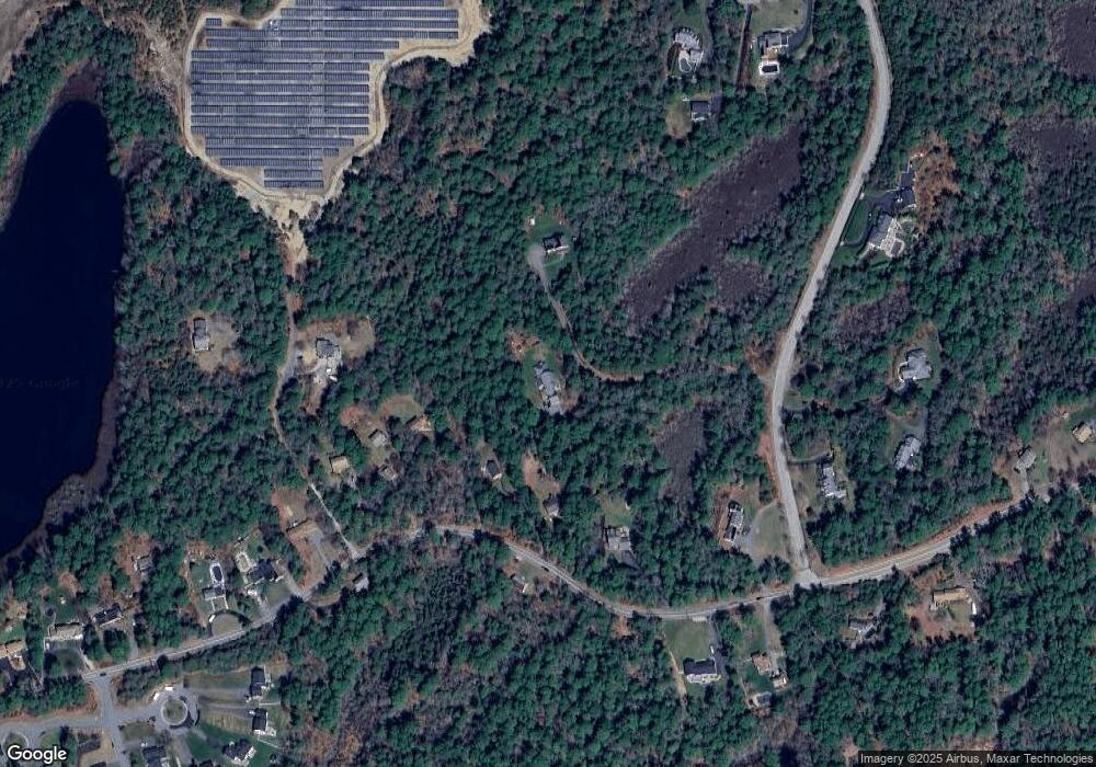
Map
Nearby Homes
- 0 Spring St
- 122 High St
- 20 Spring St
- 6 Kestrel Way
- 6 Twin Pines Ln Unit 6
- 14 Amy Ln
- 48 Columbia Cir
- 6 Susan Cir
- 3 Alec Ln
- 34 Surrey Dr
- 64 Wenham Rd
- 14 Cushman Landing
- 200 Plympton Rd
- 51 Mariner's Way Unit 51
- 2 Mariner's Way Unit 306
- 25 Dukes Brook Rd
- 37 Flintlocke Dr
- 19 Coachman Terrace
- 7 Hemlock St
- 28 Fawn Dr
- 2 Manor Farm Way
- 180 High St
- 178 High St
- 182 High St
- 1 Manor Farm Way
- 1 Manor Farm Way
- 1 Manor Farm Way
- 0 Manor Farm Way
- 186 High St
- 176 High St
- 173 High St
- 174 High St
- Lot 2 Clearing Farm Rd
- 172 High St
- 3 Clearing Farm Rd
- 3 Solar Cir
- Lot 1-6 Clearing Farm Rd-Subdiv Lot 19
- Lot 1-20 Clearing Farm Rd-Subdiv Lot 16
- 171 High St
- 57 Clearing Farm Rd