2 Maple Ln Sandyston, NJ 07851
Estimated Value: $385,000 - $456,000
About This Home
This home is located at 2 Maple Ln, Sandyston, NJ 07851 and is currently estimated at $413,718, approximately $172 per square foot. 2 Maple Ln is a home located in Sussex County with nearby schools including Sandyston-Walpack Cons. Elementary School and Kittatinny Regional High School.
Ownership History
We collect this data history from publicly available records. To have your information removed, we recommend requesting removal directly through your county’s website.
Purchase Details
Home Financials for this Owner
Home Financials are based on the most recent Mortgage that was taken out on this home.Purchase Details
Home Financials for this Owner
Home Financials are based on the most recent Mortgage that was taken out on this home.Purchase Details
Home Financials for this Owner
Home Financials are based on the most recent Mortgage that was taken out on this home.Purchase Details
Home Financials for this Owner
Home Financials are based on the most recent Mortgage that was taken out on this home.Purchase Details
Home Financials for this Owner
Home Financials are based on the most recent Mortgage that was taken out on this home.Home Values in the Area
Average Home Value in this Area
Purchase History
We collect this data history from publicly available records. To have your information removed, we recommend requesting removal directly through your county’s website.
| Date | Buyer | Sale Price | Title Company |
|---|---|---|---|
| $75,000 | Capital Title Agency | ||
| -- | Countryside Title Agency Inc | ||
| $124,000 | -- | ||
| $67,000 | Chicago Title Insurance Co | ||
| -- | -- |
Mortgage History
We collect this data history from publicly available records. To have your information removed, we recommend requesting removal directly through your county’s website.
| Date | Status | Borrower | Loan Amount |
|---|---|---|---|
| Previous Owner | $225,000 | ||
| Previous Owner | $240,000 | ||
| Previous Owner | $99,200 | ||
| Previous Owner | $65,593 |
Tax History
We collect this data history from publicly available records. To have your information removed, we recommend requesting removal directly through your county’s website.
| Year | Tax Paid | Tax Assessment Tax Assessment Total Assessment is a certain percentage of the fair market value that is determined by local assessors to be the total taxable value of land and additions on the property. | Land | Improvement |
|---|---|---|---|---|
| 2025 | $8,846 | $265,000 | $67,300 | $197,700 |
| 2024 | $8,120 | $265,000 | $67,300 | $197,700 |
| 2023 | $8,120 | $265,000 | $67,300 | $197,700 |
| 2022 | $7,759 | $265,000 | $67,300 | $197,700 |
| 2021 | $7,518 | $265,000 | $67,300 | $197,700 |
| 2020 | $7,205 | $265,000 | $67,300 | $197,700 |
| 2019 | $6,893 | $265,000 | $67,300 | $197,700 |
| 2018 | $6,850 | $265,000 | $67,300 | $197,700 |
| 2017 | $6,734 | $265,000 | $67,300 | $197,700 |
| 2016 | $6,765 | $265,000 | $67,300 | $197,700 |
| 2015 | $6,532 | $265,000 | $67,300 | $197,700 |
| 2014 | $5,769 | $281,000 | $108,900 | $172,100 |
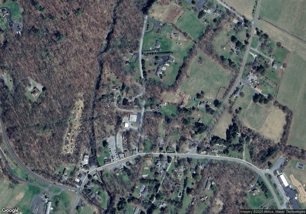
Map
- 136 Route560
- 1 Old Dingman Rd
- 7 Vansickle Rd
- 197 U S 206
- 0 Rr 615 Unit 4003916
- 111 County Road 645
- 00 Martha St
- 0 Devita Rd
- 40 Meyers Rd
- 163 County Road 645
- 77 W Shore Trail
- 89 Woods Rd
- 8 Strong Ln
- 4 Lake Path 1
- 56 E Shore Trail
- 35 E Shore Trail
- 422 U S Highway 206
- 15 Lower North Shore Rd
- 3 Volker Ln
- 77 Lower North Shore Rd
- 18 Maple
- 5 Maple Ln
- 112 114 Route 560
- 22 Route 560
- 112 County Road 560
- 6 Maple Ln
- 30 Maple
- 3 Maple Ln
- 110 County Road 560
- 116 County Road 560
- 118 County Road 560
- 5 County Road 645
- 7 County Road 645
- 7 Maple Ln
- 113 Rt560
- 108 County Road 560
- 120 County Road 560
- 124 Route 560 Unit 1
- 128-130 128-130 Route 560
- 128 128-130 Route 560 Unit 9999
Ask me questions while you tour the home.