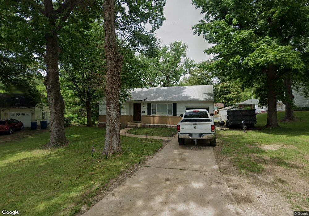
2 Marcel Ct Saint Louis, MO 63135
Estimated Value: $111,690 - $127,000
2
Beds
1
Bath
870
Sq Ft
$138/Sq Ft
Est. Value
About This Home
This home is located at 2 Marcel Ct, Saint Louis, MO 63135 and is currently estimated at $119,673, approximately $137 per square foot. 2 Marcel Ct is a home located in St. Louis County with nearby schools including Ferguson Middle School, Johnson Wabash Elementary School, and McCluer High School.
Ownership History
Date
Name
Owned For
Owner Type
Purchase Details
Closed on
Sep 27, 2022
Sold by
Grh Properties Llc
Bought by
Vb One Llc
Current Estimated Value
Purchase Details
Closed on
Oct 3, 2013
Sold by
Secretary Of Housing & Urban Development
Bought by
Grh Properties Ii Llc
Purchase Details
Closed on
Oct 10, 2012
Sold by
Flagstar Bank Fsb
Bought by
Secretary Of Housing & Urban Development
Purchase Details
Closed on
Sep 17, 2012
Sold by
Bernsen William F
Bought by
Flagstar Bank Fsb
Create a Home Valuation Report for This Property
The Home Valuation Report is an in-depth analysis detailing your home's value as well as a comparison with similar homes in the area
Home Values in the Area
Average Home Value in this Area
Purchase History
| Date | Buyer | Sale Price | Title Company |
|---|---|---|---|
| Vb One Llc | $90,870 | Total Title Services | |
| Grh Properties Ii Llc | $25,505 | None Available | |
| Secretary Of Housing & Urban Development | $52,164 | Continental Title Company | |
| Flagstar Bank Fsb | $98,841 | None Available |
Source: Public Records
Tax History Compared to Growth
Tax History
| Year | Tax Paid | Tax Assessment Tax Assessment Total Assessment is a certain percentage of the fair market value that is determined by local assessors to be the total taxable value of land and additions on the property. | Land | Improvement |
|---|---|---|---|---|
| 2025 | $1,373 | $21,300 | $4,770 | $16,530 |
| 2024 | $1,373 | $18,870 | $5,510 | $13,360 |
| 2023 | $1,365 | $18,870 | $5,510 | $13,360 |
| 2022 | $921 | $10,990 | $3,690 | $7,300 |
| 2021 | $892 | $13,360 | $3,690 | $9,670 |
| 2020 | $829 | $9,150 | $2,960 | $6,190 |
| 2019 | $1,002 | $11,360 | $2,960 | $8,400 |
| 2018 | $932 | $9,400 | $2,640 | $6,760 |
| 2017 | $914 | $9,400 | $2,640 | $6,760 |
| 2016 | $632 | $6,310 | $2,640 | $3,670 |
| 2015 | $636 | $6,310 | $2,640 | $3,670 |
| 2014 | $643 | $10,980 | $3,420 | $7,560 |
Source: Public Records
Map
Nearby Homes
- 222 Wooster Dr
- 231 Wooster Dr
- 15 Lake Pembroke Dr
- 901 Frost Ave
- 16 White Dr
- 18 White Dr
- 601 Chanslor Ave
- 614 January Ave
- 716 Nancy Place
- 6640 Thurston Ave
- 439 Warford Ave
- 13 Cady Dr
- 6717 Thurston Ave
- 116 Grether Ave
- 6 Sandringham Ln
- 415 Warford Ave
- 6612 Torlina Dr
- 1226 Beaver Trail Dr
- 135 Grether Ave
- 111 Royal Ave