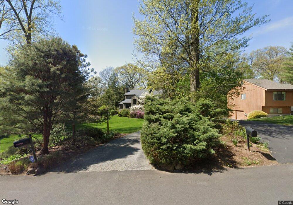
2 Marisa Ct Montrose, NY 10548
Estimated Value: $678,000 - $866,000
--
Bed
--
Bath
--
Sq Ft
0.47
Acres
About This Home
This home is located at 2 Marisa Ct, Montrose, NY 10548 and is currently estimated at $802,357. 2 Marisa Ct is a home located in Westchester County with nearby schools including Frank G. Lindsey Elementary School, Blue Mountain Middle School, and Hendrick Hudson High School.
Ownership History
Date
Name
Owned For
Owner Type
Purchase Details
Closed on
Jul 29, 2021
Sold by
Krulis Andrius and Kruliene Inga
Bought by
Krulis Audrius and Kruliene Inga
Current Estimated Value
Home Financials for this Owner
Home Financials are based on the most recent Mortgage that was taken out on this home.
Original Mortgage
$476,250
Interest Rate
3.69%
Mortgage Type
New Conventional
Purchase Details
Closed on
Jul 24, 2021
Sold by
Krulis and Inga
Bought by
Krulis Audrius and Kruliene Inga
Home Financials for this Owner
Home Financials are based on the most recent Mortgage that was taken out on this home.
Original Mortgage
$476,250
Interest Rate
3.69%
Mortgage Type
New Conventional
Purchase Details
Closed on
Aug 14, 1997
Sold by
Bacon John W and Bacon Rosetta L
Bought by
Krulis Andrius and Krulis Inga
Create a Home Valuation Report for This Property
The Home Valuation Report is an in-depth analysis detailing your home's value as well as a comparison with similar homes in the area
Home Values in the Area
Average Home Value in this Area
Purchase History
| Date | Buyer | Sale Price | Title Company |
|---|---|---|---|
| Krulis Audrius | -- | Timios Inc | |
| Krulis Audrius | -- | None Listed On Document | |
| Krulis Andrius | $283,500 | First American Title Ins Co |
Source: Public Records
Mortgage History
| Date | Status | Borrower | Loan Amount |
|---|---|---|---|
| Previous Owner | Krulis Audrius | $476,250 | |
| Previous Owner | Krulis Audrius | $476,250 |
Source: Public Records
Tax History Compared to Growth
Tax History
| Year | Tax Paid | Tax Assessment Tax Assessment Total Assessment is a certain percentage of the fair market value that is determined by local assessors to be the total taxable value of land and additions on the property. | Land | Improvement |
|---|---|---|---|---|
| 2024 | $18,293 | $9,975 | $475 | $9,500 |
| 2023 | $16,962 | $9,975 | $475 | $9,500 |
| 2022 | $16,931 | $9,975 | $475 | $9,500 |
| 2021 | $17,883 | $9,975 | $475 | $9,500 |
| 2020 | $16,786 | $9,975 | $475 | $9,500 |
| 2019 | $15,556 | $9,975 | $475 | $9,500 |
| 2018 | $15,593 | $9,975 | $475 | $9,500 |
| 2017 | $5,067 | $9,975 | $475 | $9,500 |
| 2016 | $15,169 | $9,975 | $475 | $9,500 |
| 2015 | -- | $9,975 | $475 | $9,500 |
| 2014 | -- | $9,975 | $475 | $9,500 |
| 2013 | -- | $9,975 | $475 | $9,500 |
Source: Public Records
Map
Nearby Homes
- 137 Lindsey Ave
- 219 Rockledge Ave
- 216 Rockledge Ave
- 149 Cole Ct
- 34 Kings Ferry Rd
- 168 Seward St
- 49 Henning Dr
- 937 Mckinley St
- 931 Mckinley St
- 23 Meadow Rd
- 843 Lyle Ct
- 15 Arlington Ct
- 62 Montrose Point Rd
- 92 14th St
- 609 Ridge St
- 211 Broadway
- 223 Viewpoint Terrace
- Lot 7 Mountain Side Trail
- 11 Deer Haunt Dr
- 111 Viewpoint Terrace