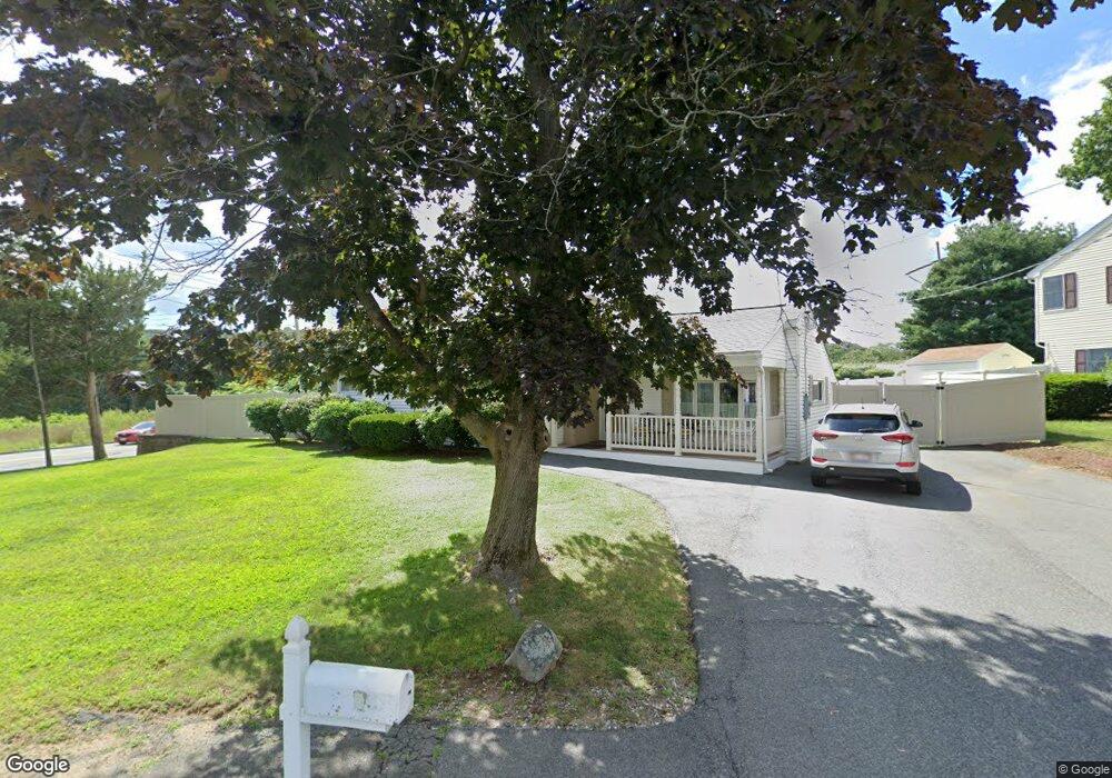
2 Marlboro Rd Woburn, MA 01801
Cummingsville NeighborhoodEstimated Value: $678,000 - $862,000
3
Beds
1
Bath
1,284
Sq Ft
$570/Sq Ft
Est. Value
About This Home
This home is located at 2 Marlboro Rd, Woburn, MA 01801 and is currently estimated at $731,635, approximately $569 per square foot. 2 Marlboro Rd is a home located in Middlesex County with nearby schools including Hurld Elementary School, Daniel L. Joyce Middle School, and Woburn High School.
Ownership History
Date
Name
Owned For
Owner Type
Purchase Details
Closed on
Oct 17, 1994
Sold by
Minchello Michael J and Minchello Susan J
Bought by
Grover Douglas and Grover Mary F
Current Estimated Value
Purchase Details
Closed on
May 30, 1989
Sold by
Finn Richard R
Bought by
Minchello Michael J
Purchase Details
Closed on
Nov 2, 1987
Sold by
Foley Naomi G
Bought by
Finn Richard R
Create a Home Valuation Report for This Property
The Home Valuation Report is an in-depth analysis detailing your home's value as well as a comparison with similar homes in the area
Home Values in the Area
Average Home Value in this Area
Purchase History
| Date | Buyer | Sale Price | Title Company |
|---|---|---|---|
| Grover Douglas | $145,000 | -- | |
| Minchello Michael J | $160,000 | -- | |
| Finn Richard R | $146,000 | -- |
Source: Public Records
Mortgage History
| Date | Status | Borrower | Loan Amount |
|---|---|---|---|
| Open | Finn Richard R | $289,937 | |
| Closed | Finn Richard R | $185,000 |
Source: Public Records
Tax History Compared to Growth
Tax History
| Year | Tax Paid | Tax Assessment Tax Assessment Total Assessment is a certain percentage of the fair market value that is determined by local assessors to be the total taxable value of land and additions on the property. | Land | Improvement |
|---|---|---|---|---|
| 2025 | $4,967 | $581,600 | $362,600 | $219,000 |
| 2024 | $4,548 | $564,300 | $345,300 | $219,000 |
| 2023 | $4,569 | $525,200 | $313,900 | $211,300 |
| 2022 | $4,421 | $473,300 | $273,000 | $200,300 |
| 2021 | $64,696 | $455,000 | $260,000 | $195,000 |
| 2020 | $4,017 | $431,000 | $260,000 | $171,000 |
| 2019 | $59,602 | $403,100 | $247,600 | $155,500 |
| 2018 | $3,689 | $373,000 | $227,200 | $145,800 |
| 2017 | $7,138 | $349,400 | $216,300 | $133,100 |
| 2016 | $3,305 | $328,900 | $202,200 | $126,700 |
| 2015 | $3,167 | $311,400 | $188,900 | $122,500 |
| 2014 | $3,047 | $291,900 | $188,900 | $103,000 |
Source: Public Records
Map
Nearby Homes
- 36 Cambridge Rd Unit 40
- 19 Hammond Place Unit 19
- 18 Winn Valley Dr
- 7 Locust St
- 123 Cambridge Rd Unit 4
- 12 Cassidy Dr
- 29 Overlook Ave
- 4 Ardmore Ave
- 185 Lexington St
- 192 Lexington St
- 15 Crescent Rd
- 14 Saw Mill Brook Way
- 212 Cambridge Rd
- 0 Johnson Rd
- 17 Wright St
- 50 Hill Cir
- 29 Grove Ln Unit 29
- 18 Beacon St Unit 18
- 31 Arlington Rd Unit 1-6
- 9 Pond Terrace
- 4 Marlboro Rd
- 1 Marlboro Rd
- 1 Marlboro Rd Unit 2Br
- 176 Bedford Rd
- 6 Marlboro Rd
- 3 Marlboro Rd
- 185 Bedford Rd
- 174 Bedford Rd
- 78 Marlboro Rd
- 8 Marlboro Rd
- 183 Bedford Rd
- 61 Marlboro Rd
- 172 Bedford Rd
- 76 Marlboro Rd
- 10 Marlboro Rd
- 10 Marlboro Rd Unit 1Br
- 59 Marlboro Rd
- 7 Marlboro Rd
- 7 Marlboro Rd Unit 2
- 170 Bedford Rd