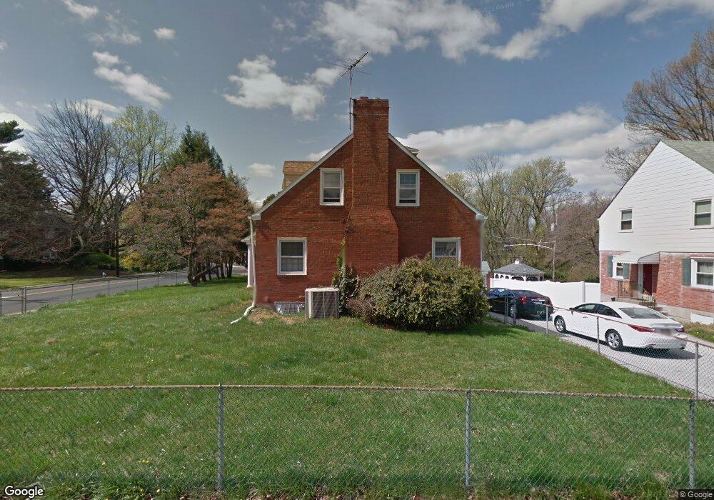
2 Martin Dr Lansdowne, PA 19050
Estimated Value: $349,669 - $424,000
3
Beds
2
Baths
2,099
Sq Ft
$180/Sq Ft
Est. Value
About This Home
This home is located at 2 Martin Dr, Lansdowne, PA 19050 and is currently estimated at $378,167, approximately $180 per square foot. 2 Martin Dr is a home located in Delaware County with nearby schools including Ardmore Avenue School, Penn Wood Middle School, and Penn Wood High School - Cypress Street Campus.
Ownership History
Date
Name
Owned For
Owner Type
Purchase Details
Closed on
Jun 20, 2006
Sold by
Burns Howard and Burns Carole A
Bought by
Hicks Aronda
Current Estimated Value
Home Financials for this Owner
Home Financials are based on the most recent Mortgage that was taken out on this home.
Original Mortgage
$196,000
Outstanding Balance
$115,361
Interest Rate
6.59%
Mortgage Type
Purchase Money Mortgage
Estimated Equity
$262,806
Create a Home Valuation Report for This Property
The Home Valuation Report is an in-depth analysis detailing your home's value as well as a comparison with similar homes in the area
Home Values in the Area
Average Home Value in this Area
Purchase History
| Date | Buyer | Sale Price | Title Company |
|---|---|---|---|
| Hicks Aronda | $245,000 | None Available |
Source: Public Records
Mortgage History
| Date | Status | Borrower | Loan Amount |
|---|---|---|---|
| Open | Hicks Aronda | $196,000 |
Source: Public Records
Tax History Compared to Growth
Tax History
| Year | Tax Paid | Tax Assessment Tax Assessment Total Assessment is a certain percentage of the fair market value that is determined by local assessors to be the total taxable value of land and additions on the property. | Land | Improvement |
|---|---|---|---|---|
| 2025 | $7,717 | $187,440 | $50,840 | $136,600 |
| 2024 | $7,717 | $187,440 | $50,840 | $136,600 |
| 2023 | $7,358 | $187,440 | $50,840 | $136,600 |
| 2022 | $7,213 | $187,440 | $50,840 | $136,600 |
| 2021 | $10,832 | $187,440 | $50,840 | $136,600 |
| 2020 | $7,318 | $111,590 | $37,120 | $74,470 |
| 2019 | $7,196 | $111,590 | $37,120 | $74,470 |
| 2018 | $7,072 | $111,590 | $0 | $0 |
| 2017 | $6,916 | $111,590 | $0 | $0 |
| 2016 | $612 | $111,590 | $0 | $0 |
| 2015 | $612 | $111,590 | $0 | $0 |
| 2014 | $612 | $111,590 | $0 | $0 |
Source: Public Records
Map
Nearby Homes
- 108 Gladstone Rd
- 233 Scottdale Rd
- 80 W Baltimore Ave Unit B510
- 257 W Greenwood Ave
- 185 Berkley Ave
- 182 Berkley Ave
- 38 W Stratford Ave
- 29 W Stratford Ave
- 271 Drexel Ave
- 223 W Plumstead Ave
- 82 Marple Ave
- 3847 Dennison Ave
- 88 W Plumstead Ave
- 49 Elberon Ave
- 225 Glentay Ave
- 162 Burmont Rd
- 442 E Baltimore Ave
- 162 W Albemarle Ave
- 0 Bridge St
- 3941 Bridge St
- 6 Martin Dr
- 10 Martin Dr
- 203 W Baltimore Ave
- 1 Martin Dr
- 1 W Baltimore Ave
- 205 W Baltimore Ave
- 5 Martin Dr
- 2 Mansfield Rd
- 1 Mansfield Rd
- 207 W Baltimore Ave
- 9 Martin Dr
- 1 Walsh Rd
- 209 W Baltimore Ave
- 3 Mansfield Rd
- 5 Gladstone Rd
- 211 W Baltimore Ave
- 5 Mansfield Rd
- 5 Walsh Rd
- 172 W Baltimore Ave
- 11 Deforest Rd