Estimated Value: $295,000 - $307,000
3
Beds
3
Baths
1,542
Sq Ft
$194/Sq Ft
Est. Value
About This Home
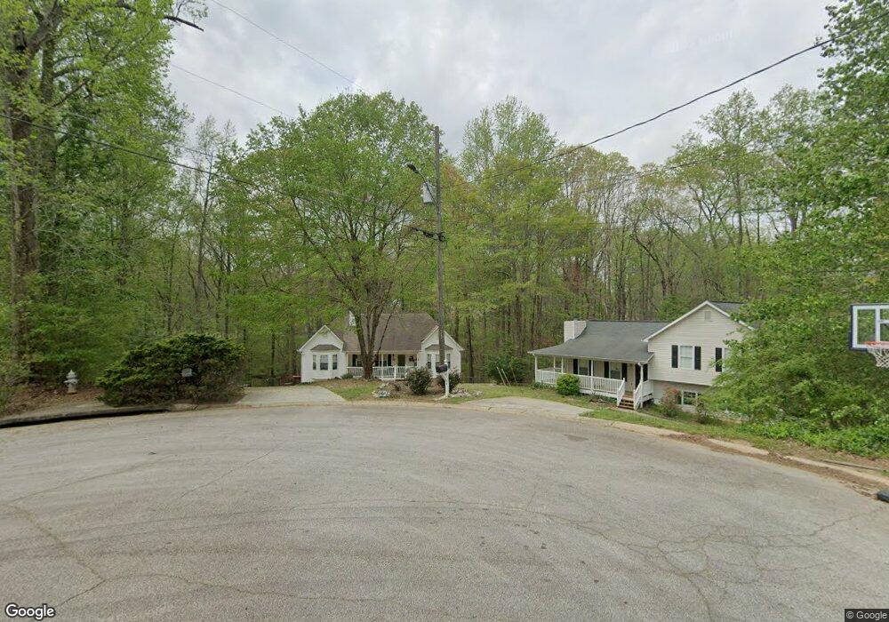
This home is located at 2 Mayfield Ct, Hiram, GA 30141 and is currently estimated at $299,103, approximately $193 per square foot. 2 Mayfield Ct is a home located in Paulding County with nearby schools including Sam D. Panter Elementary School, J. A. Dobbins Middle School, and Hiram High School.
Ownership History
Date
Name
Owned For
Owner Type
Purchase Details
Closed on
Nov 16, 2001
Sold by
Lester Ann R
Bought by
Ann R Lester Living Trust
Current Estimated Value
Create a Home Valuation Report for This Property
The Home Valuation Report is an in-depth analysis detailing your home's value as well as a comparison with similar homes in the area
Home Values in the Area
Average Home Value in this Area
Purchase History
| Date | Buyer | Sale Price | Title Company |
|---|---|---|---|
| Ann R Lester Living Trust | -- | -- |
Source: Public Records
Tax History Compared to Growth
Tax History
| Year | Tax Paid | Tax Assessment Tax Assessment Total Assessment is a certain percentage of the fair market value that is determined by local assessors to be the total taxable value of land and additions on the property. | Land | Improvement |
|---|---|---|---|---|
| 2024 | $2 | $117,804 | $12,000 | $105,804 |
| 2023 | $220 | $123,752 | $12,000 | $111,752 |
| 2022 | $2,671 | $89,932 | $12,000 | $77,932 |
| 2021 | $2,129 | $71,688 | $8,000 | $63,688 |
| 2020 | $1,971 | $66,364 | $8,000 | $58,364 |
| 2019 | $1,970 | $65,376 | $8,000 | $57,376 |
| 2018 | $1,679 | $57,596 | $8,000 | $49,596 |
| 2017 | $1,552 | $52,672 | $8,000 | $44,672 |
| 2016 | $1,433 | $49,248 | $8,000 | $41,248 |
| 2015 | $1,307 | $44,332 | $8,000 | $36,332 |
| 2014 | $1,110 | $37,024 | $8,000 | $29,024 |
| 2013 | -- | $25,160 | $8,000 | $17,160 |
Source: Public Records
Map
Nearby Homes
- 1 Mayfield Ct
- 10 Mayfield Ct
- 5 Mayfield Ct
- 14 Harvest Way
- 13 Mayfield Ct
- 82 Harvest Way
- 204 Thornbrooke Dr
- 220 Thornbrooke Dr Unit 44
- 220 Thornbrooke Dr
- 0 Mayfield Ct Unit 7358639
- 0 Mayfield Ct Unit 7218297
- 0 Mayfield Ct Unit 3228325
- 0 Mayfield Ct Unit 3145507
- 0 Mayfield Ct Unit 8794497
- 0 Mayfield Ct Unit 8014211
- 0 Mayfield Ct Unit 3220352
- 0 Mayfield Ct Unit 7144889
- 0 Mayfield Ct Unit 7139930
- 45 Mayfield Ct
- 45 Mayfield Ct Unit 45