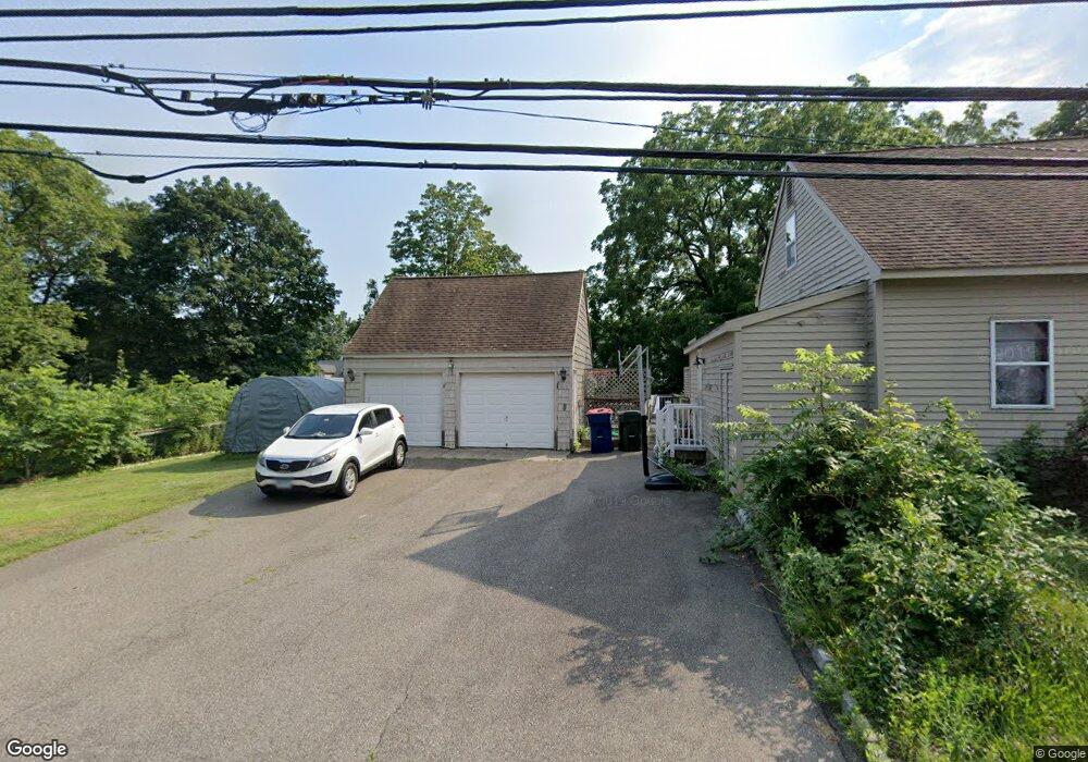
2 Mcgrath Ln Trumbull, CT 06611
Nichols NeighborhoodEstimated Value: $703,000 - $799,493
3
Beds
3
Baths
2,037
Sq Ft
$370/Sq Ft
Est. Value
About This Home
This home is located at 2 Mcgrath Ln, Trumbull, CT 06611 and is currently estimated at $753,123, approximately $369 per square foot. 2 Mcgrath Ln is a home with nearby schools including Booth Hill School, Hillcrest Middle School, and Trumbull High School.
Ownership History
Date
Name
Owned For
Owner Type
Purchase Details
Closed on
Nov 21, 2022
Sold by
Roth Derek
Bought by
Roth Sevgi
Current Estimated Value
Purchase Details
Closed on
May 13, 2021
Sold by
Roth Derek
Bought by
Roth Derek and Roth Sevgi
Purchase Details
Closed on
May 2, 2018
Sold by
Mandanici John
Bought by
Roth Derek
Home Financials for this Owner
Home Financials are based on the most recent Mortgage that was taken out on this home.
Original Mortgage
$468,750
Interest Rate
4.45%
Mortgage Type
Future Advance Clause Open End Mortgage
Create a Home Valuation Report for This Property
The Home Valuation Report is an in-depth analysis detailing your home's value as well as a comparison with similar homes in the area
Home Values in the Area
Average Home Value in this Area
Purchase History
| Date | Buyer | Sale Price | Title Company |
|---|---|---|---|
| Roth Sevgi | -- | None Available | |
| Roth Derek | -- | None Available | |
| Roth Derek | $225,000 | -- |
Source: Public Records
Mortgage History
| Date | Status | Borrower | Loan Amount |
|---|---|---|---|
| Previous Owner | Roth Derek | $468,750 |
Source: Public Records
Tax History
| Year | Tax Paid | Tax Assessment Tax Assessment Total Assessment is a certain percentage of the fair market value that is determined by local assessors to be the total taxable value of land and additions on the property. | Land | Improvement |
|---|---|---|---|---|
| 2025 | $13,647 | $369,250 | $164,640 | $204,610 |
| 2024 | $13,255 | $369,250 | $164,640 | $204,610 |
| 2023 | $13,053 | $369,250 | $164,640 | $204,610 |
| 2022 | $12,852 | $369,250 | $164,640 | $204,610 |
| 2021 | $12,121 | $337,120 | $0 | $0 |
| 2020 | $12,121 | $337,120 | $0 | $0 |
| 2018 | $4,249 | $120,820 | $120,820 | $0 |
| 2017 | $4,168 | $120,820 | $120,820 | $0 |
| 2016 | $3,495 | $103,250 | $103,250 | $0 |
| 2015 | $5,146 | $152,700 | $152,700 | $0 |
| 2014 | $5,036 | $152,700 | $152,700 | $0 |
Source: Public Records
Map
Nearby Homes
- 3 Wheeler Dr
- 85 Teeter Rock Rd
- 220 Hilltop Cir
- 40 Puritan Rd
- 101 Golden Hill St
- 22 Beverly Rd
- 7 E Lake Rd
- 0 Lot #4 & Lot #5 W Mischa Rd Unit 24138429
- 68 Old Dike Rd
- 0 Pinewood Trail
- 280 Goldbach Dr
- 2449 Huntington Turnpike
- 170 Pumpkin Ground Rd
- 38 Macdonald Rd
- 175 Post Oak Rd
- 10 Foxwood Rd
- 2322 Nichols Ave
- 52 Circle Dr
- 260 Overland Dr
- 375 Silver St
- 4 Mcgrath Ln
- 254 Shelton Rd
- 254 Shelton Rd Unit LOT 3
- 254 Shelton Rd Unit LOT 2
- 254 Shelton Rd Unit LOT 1
- 254 Shelton Rd
- 401 Erwin St
- 245 Shelton Rd
- 215 Shelton Rd
- 264 Shelton Rd
- 6 Mcgrath Ln
- 255 Shelton Rd
- 190 Shelton Rd
- 272 Shelton Rd Unit 272
- 272 Shelton Rd Unit 270
- 272 Shelton Rd
- 423 Erwin St
- 213 Shelton Rd
- 8 Mcgrath Ln
- 203 Shelton Rd
Your Personal Tour Guide
Ask me questions while you tour the home.