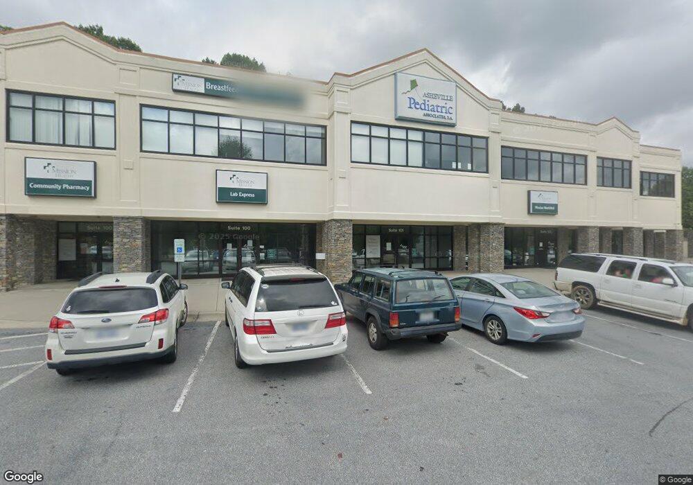
2 Medical Park Dr Unit 700 Asheville, NC 28803
Estimated Value: $695,319
--
Bed
--
Bath
2,358
Sq Ft
$295/Sq Ft
Est. Value
About This Home
This home is located at 2 Medical Park Dr Unit 700, Asheville, NC 28803 and is currently estimated at $695,319, approximately $294 per square foot. 2 Medical Park Dr Unit 700 is a home located in Buncombe County with nearby schools including A.C. Reynolds High School, Oakley Elementary, and A.C. Reynolds Middle School.
Ownership History
Date
Name
Owned For
Owner Type
Purchase Details
Closed on
May 10, 2024
Sold by
Mrac Llc
Bought by
Hospice Of Henderson County Inc
Current Estimated Value
Purchase Details
Closed on
Oct 5, 2007
Sold by
Maranatha Group Llc
Bought by
Mrac Llc
Home Financials for this Owner
Home Financials are based on the most recent Mortgage that was taken out on this home.
Original Mortgage
$480,954
Interest Rate
6.49%
Mortgage Type
Seller Take Back
Create a Home Valuation Report for This Property
The Home Valuation Report is an in-depth analysis detailing your home's value as well as a comparison with similar homes in the area
Home Values in the Area
Average Home Value in this Area
Purchase History
| Date | Buyer | Sale Price | Title Company |
|---|---|---|---|
| Hospice Of Henderson County Inc | $710,000 | None Listed On Document | |
| Hospice Of Henderson County Inc | $710,000 | None Listed On Document | |
| Mrac Llc | $481,000 | None Available |
Source: Public Records
Mortgage History
| Date | Status | Borrower | Loan Amount |
|---|---|---|---|
| Previous Owner | Mrac Llc | $480,954 |
Source: Public Records
Tax History Compared to Growth
Tax History
| Year | Tax Paid | Tax Assessment Tax Assessment Total Assessment is a certain percentage of the fair market value that is determined by local assessors to be the total taxable value of land and additions on the property. | Land | Improvement |
|---|---|---|---|---|
| 2025 | -- | $719,400 | -- | $719,400 |
| 2024 | -- | $685,200 | -- | $685,200 |
| 2023 | $6,174 | $685,200 | $0 | $685,200 |
| 2022 | $6,105 | $685,200 | $0 | $0 |
| 2021 | $6,105 | $685,200 | $0 | $0 |
| 2020 | $5,902 | $616,100 | $0 | $0 |
| 2019 | $5,902 | $616,100 | $0 | $0 |
| 2018 | $5,902 | $616,100 | $0 | $0 |
| 2017 | $5,963 | $591,300 | $0 | $0 |
| 2016 | $6,380 | $0 | $0 | $0 |
| 2015 | $6,380 | $591,300 | $0 | $0 |
| 2014 | $6,291 | $591,300 | $0 | $0 |
Source: Public Records
Map
Nearby Homes
- 67 Robinson Ave
- 26 Crest Ave
- 2 Wilson Creek Dr
- 7 Wilson Creek Dr
- 0000 Booker St
- TBA Booker St Unit 9 & 10
- 726 Appeldoorn Cir Unit 726
- 617 Appeldoorn Cir Unit 617
- 10 Freno Dr
- 979 W Chapel Rd
- 970 W Chapel Rd
- 332 Appeldoorn Cir
- 63 Wyatt St
- 59 Wyatt St
- 70 Wyatt St
- 17 White Ave
- 31 White Ave
- 1 Pinnacle View Rd
- 3 Pinnacle View Rd
- 548 Caribou Rd
- 2 Medical Park Dr
- 2 Medical Park Dr Unit 1200
- 147 Sweeten Creek Rd
- 851 Sweeten Creek Rd
- 147 Sweeten Creek Rd Unit 4 Lots
- 65 Robinson Ave
- 861 Sweeten Creek Rd
- 856 Sweeten Creek Rd Unit Downstairs Unit
- 856 Sweeten Creek Rd Unit B
- 856 Sweeten Creek Rd Unit D
- 856 Sweeten Creek Rd
- 8 Carver Ct
- 65 & 67 Robinson Ave
- 6 Carver Ct
- 71 Robinson Ave
- 156 Sweeten Creek Rd
- 73 Robinson Ave
- 150 Sweeten Creek Rd
- 75 Robinson Ave
- 69 Robinson Ave