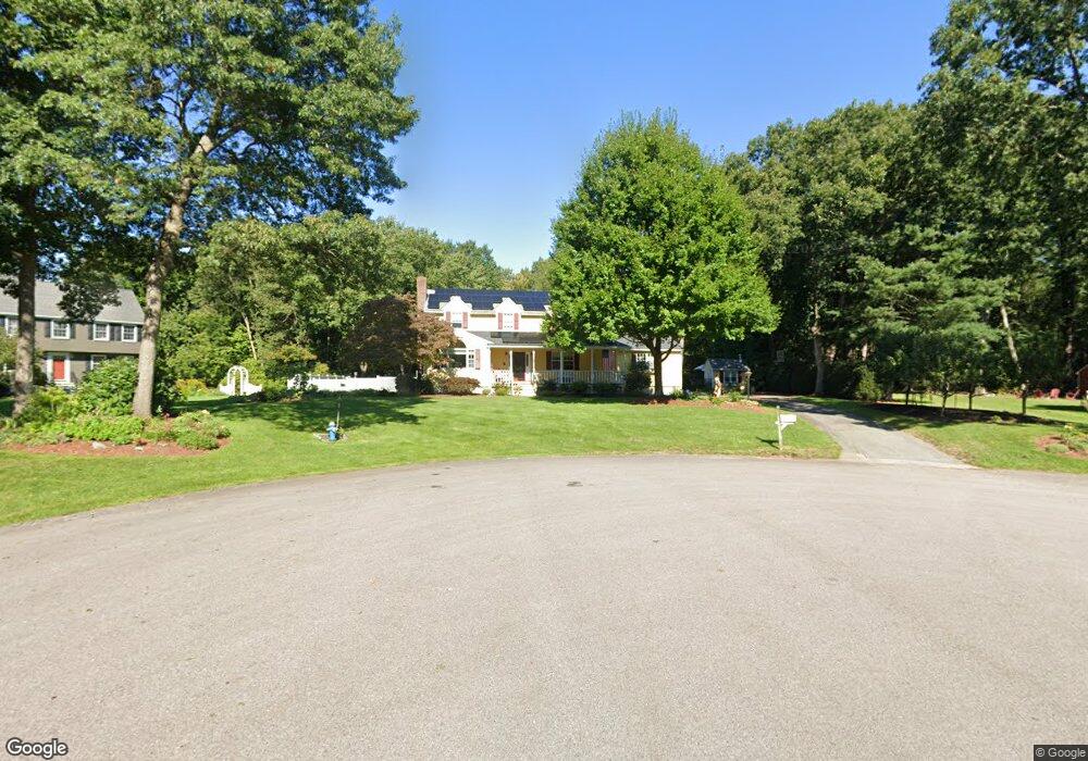
2 Memory Ln Medway, MA 02053
Estimated Value: $838,000 - $1,045,000
4
Beds
3
Baths
2,661
Sq Ft
$350/Sq Ft
Est. Value
About This Home
This home is located at 2 Memory Ln, Medway, MA 02053 and is currently estimated at $930,172, approximately $349 per square foot. 2 Memory Ln is a home located in Norfolk County with nearby schools including John D. McGovern Elementary School, Burke-Memorial Elementary, and Medway Middle School.
Ownership History
Date
Name
Owned For
Owner Type
Purchase Details
Closed on
Sep 8, 2020
Sold by
Wright Tina L
Bought by
Tina L Wright Ret
Current Estimated Value
Purchase Details
Closed on
Jun 1, 1990
Sold by
Rice Carl M
Bought by
Wright Williamr
Home Financials for this Owner
Home Financials are based on the most recent Mortgage that was taken out on this home.
Original Mortgage
$200,000
Interest Rate
10.25%
Mortgage Type
Purchase Money Mortgage
Create a Home Valuation Report for This Property
The Home Valuation Report is an in-depth analysis detailing your home's value as well as a comparison with similar homes in the area
Home Values in the Area
Average Home Value in this Area
Purchase History
| Date | Buyer | Sale Price | Title Company |
|---|---|---|---|
| Tina L Wright Ret | -- | None Available | |
| Wright Williamr | $200,000 | -- |
Source: Public Records
Mortgage History
| Date | Status | Borrower | Loan Amount |
|---|---|---|---|
| Previous Owner | Wright Williamr | $183,000 | |
| Previous Owner | Wright Williamr | $190,000 | |
| Previous Owner | Wright Williamr | $200,000 |
Source: Public Records
Tax History
| Year | Tax Paid | Tax Assessment Tax Assessment Total Assessment is a certain percentage of the fair market value that is determined by local assessors to be the total taxable value of land and additions on the property. | Land | Improvement |
|---|---|---|---|---|
| 2025 | $11,380 | $798,600 | $305,000 | $493,600 |
| 2024 | $11,500 | $798,600 | $305,000 | $493,600 |
| 2023 | $10,924 | $685,300 | $252,700 | $432,600 |
| 2022 | $10,959 | $647,300 | $224,400 | $422,900 |
| 2021 | $10,834 | $620,500 | $207,000 | $413,500 |
| 2020 | $10,542 | $602,400 | $191,800 | $410,600 |
| 2019 | $9,994 | $588,900 | $191,800 | $397,100 |
| 2018 | $10,087 | $571,200 | $183,100 | $388,100 |
| 2017 | $9,953 | $555,400 | $176,500 | $378,900 |
| 2016 | $9,026 | $498,400 | $170,000 | $328,400 |
| 2015 | $8,759 | $480,200 | $156,900 | $323,300 |
| 2014 | $7,983 | $423,700 | $156,900 | $266,800 |
Source: Public Records
Map
Nearby Homes
- 79 Lovering St Unit B
- 8 Winthrop St
- 19 Evergreen St Unit A
- 40 Timber Crest Dr
- 19 Sycamore Way
- 26 Timber Crest Dr
- 33 Gorwin Dr
- 58 Holliston St
- 50 Main St
- 17 Fairway Ln
- 11 Fairway Ln
- 5 Richardson St
- 10 Franklin St
- 3 Thayer Rd
- 0 Hill St
- 6 Freedom Trail
- 2 Kingson Ln Unit 2
- 6 Kingson Ln Unit 2
- 1391 Pond St
- 731 Norfolk St
- 1 Memory Ln
- 3 Memory Ln
- 48 Lovering St Unit 9
- 48 Lovering St Unit 8
- 48 Lovering St Unit 7
- 48 Lovering St Unit 6
- 48 Lovering St Unit 5
- 48 Lovering St Unit 4
- 48 Lovering St Unit 3
- 48 Lovering St Unit 2
- 48 Lovering St Unit 1
- 46 Lovering St
- 4 Memory Ln
- 40 Lovering St
- 50 Lovering St
- 26 Field Rd
- 62 Lovering St
- 49 Lovering St
- 68 Lovering St Unit 1
- 68 Lovering St Unit B
Your Personal Tour Guide
Ask me questions while you tour the home.