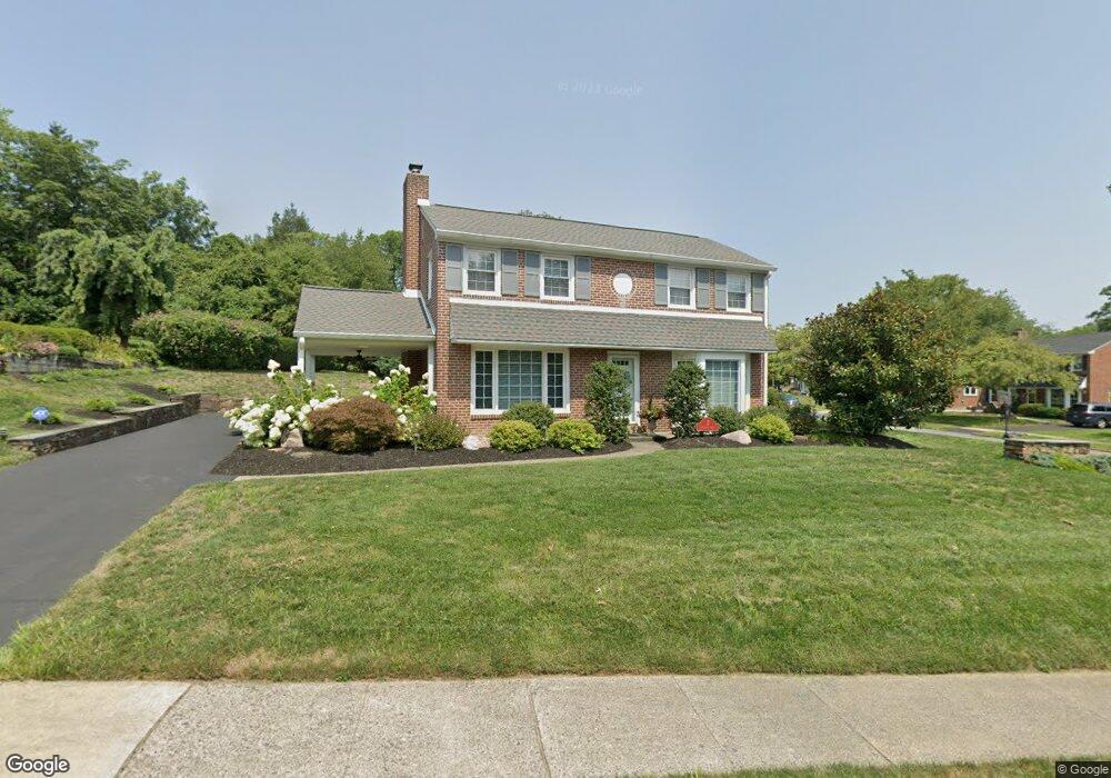
2 Michael Rd Havertown, PA 19083
Estimated Value: $513,000 - $558,847
3
Beds
2
Baths
1,610
Sq Ft
$329/Sq Ft
Est. Value
About This Home
This home is located at 2 Michael Rd, Havertown, PA 19083 and is currently estimated at $530,282, approximately $329 per square foot. 2 Michael Rd is a home located in Delaware County with nearby schools including Coopertown Elementary School, Haverford Middle School, and Haverford Senior High School.
Ownership History
Date
Name
Owned For
Owner Type
Purchase Details
Closed on
Oct 9, 2017
Sold by
Osifchok Mary Anne and Osifchok Joseph Michael
Bought by
Osifchok Mary Anne and Osifchok Joseph Michael
Current Estimated Value
Purchase Details
Closed on
Jan 2, 2009
Sold by
Osifchok Joseph and Osifchok Anna
Bought by
Osifchok Joseph and Osifchok Anna
Purchase Details
Closed on
Nov 13, 2002
Sold by
Osifchok Joseph and Osifchok Anna
Bought by
The Osifchok Family Trust
Create a Home Valuation Report for This Property
The Home Valuation Report is an in-depth analysis detailing your home's value as well as a comparison with similar homes in the area
Home Values in the Area
Average Home Value in this Area
Purchase History
| Date | Buyer | Sale Price | Title Company |
|---|---|---|---|
| Osifchok Mary Anne | -- | None Available | |
| Osifchok Joseph | -- | None Available | |
| The Osifchok Family Trust | -- | -- |
Source: Public Records
Tax History
| Year | Tax Paid | Tax Assessment Tax Assessment Total Assessment is a certain percentage of the fair market value that is determined by local assessors to be the total taxable value of land and additions on the property. | Land | Improvement |
|---|---|---|---|---|
| 2025 | $8,217 | $319,560 | $112,040 | $207,520 |
| 2024 | $8,217 | $319,560 | $112,040 | $207,520 |
| 2023 | $7,983 | $319,560 | $112,040 | $207,520 |
| 2022 | $7,797 | $319,560 | $112,040 | $207,520 |
| 2021 | $12,702 | $319,560 | $112,040 | $207,520 |
| 2020 | $7,807 | $167,980 | $66,450 | $101,530 |
| 2019 | $7,663 | $167,980 | $66,450 | $101,530 |
| 2018 | $7,532 | $167,980 | $0 | $0 |
| 2017 | $7,373 | $167,980 | $0 | $0 |
| 2016 | $922 | $167,980 | $0 | $0 |
| 2015 | $941 | $167,980 | $0 | $0 |
| 2014 | $941 | $167,980 | $0 | $0 |
Source: Public Records
Map
Nearby Homes
- 333 Golf Hills Rd
- 1425 Lawrence Rd
- 133 Quaker Ln
- 2107 Belvedere Ave
- 1901 Pennview Ave
- 2058 Bellemead Ave
- 6205 Parkview Dr
- 1313 Roosevelt Ave
- 1529 Brierwood Rd
- 1 Lawrence Rd Unit G2B
- 26 E Turnbull Ave
- 100 Yale Rd
- 1950 W Chester Pike
- 10 Claremont Blvd
- 12 Claremont Blvd
- 118 Princeton Rd
- 7 Brighton Village Dr
- 1 Brighton Village Dr
- 152 Woodbine Rd
- 113 Glendale Rd
Your Personal Tour Guide
Ask me questions while you tour the home.