2 Mill Pond Rd Sherman, CT 06784
Estimated Value: $1,555,685 - $1,883,000
4
Beds
4
Baths
5,798
Sq Ft
$290/Sq Ft
Est. Value
About This Home
This home is located at 2 Mill Pond Rd, Sherman, CT 06784 and is currently estimated at $1,678,562, approximately $289 per square foot. 2 Mill Pond Rd is a home located in Fairfield County with nearby schools including Sherman School.
Ownership History
Date
Name
Owned For
Owner Type
Purchase Details
Closed on
Jul 13, 2023
Sold by
Dailey Gerald M and Dailey Suzette L
Bought by
Dailey Gerald M and Dailey Suzette L
Current Estimated Value
Purchase Details
Closed on
Apr 10, 1999
Sold by
Mill Pond Farm
Bought by
Dailey Gerald M and Dailey Suzette L
Create a Home Valuation Report for This Property
The Home Valuation Report is an in-depth analysis detailing your home's value as well as a comparison with similar homes in the area
Home Values in the Area
Average Home Value in this Area
Purchase History
| Date | Buyer | Sale Price | Title Company |
|---|---|---|---|
| Dailey Gerald M | -- | None Available | |
| Dailey Gerald M | $347,500 | -- |
Source: Public Records
Mortgage History
| Date | Status | Borrower | Loan Amount |
|---|---|---|---|
| Previous Owner | Dailey Gerald M | $417,000 | |
| Previous Owner | Dailey Gerald M | $750,000 |
Source: Public Records
Tax History
| Year | Tax Paid | Tax Assessment Tax Assessment Total Assessment is a certain percentage of the fair market value that is determined by local assessors to be the total taxable value of land and additions on the property. | Land | Improvement |
|---|---|---|---|---|
| 2025 | $16,138 | $968,100 | $225,500 | $742,600 |
| 2024 | $15,838 | $968,100 | $225,500 | $742,600 |
| 2023 | $17,252 | $968,100 | $225,500 | $742,600 |
| 2022 | $17,600 | $968,100 | $225,500 | $742,600 |
| 2021 | $18,045 | $968,100 | $225,500 | $742,600 |
| 2020 | $18,500 | $968,100 | $225,500 | $742,600 |
| 2019 | $11,320 | $968,100 | $225,500 | $742,600 |
| 2018 | $9,072 | $1,041,800 | $278,000 | $763,800 |
| 2017 | $21,180 | $1,041,800 | $278,000 | $763,800 |
| 2016 | $21,180 | $1,041,810 | $277,970 | $763,840 |
| 2015 | $20,878 | $1,041,810 | $277,970 | $763,840 |
| 2014 | $22,475 | $1,132,810 | $351,890 | $780,920 |
Source: Public Records
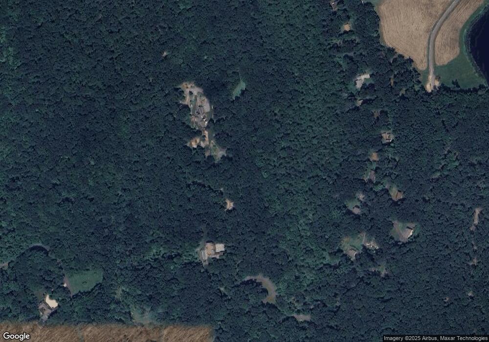
Map
Nearby Homes
- 6 Candlewood Common
- 22 Candlewood Common
- 139 Candlewood Mountain Rd
- 8 Candleview Dr
- 11 Chestnut Hill Rd
- 23 Echo Dr
- 11 Oak Rd
- 32 Ferris Estates Rd
- 0 Rte 39 South State Route
- 64 Skyline Dr
- 11 Willow Rd
- 368 Candlewood Lake Rd N
- 47 Sunset Dr
- 2 Cardinal Ln
- 27 Jotham Rd
- 2 Deer Hill Rd
- 6 Brinsmade Ln
- 17 Mauweehoo Hill
- 5 Sail Harbour Dr
- 24 Caldwell Dr
- 10 Mill Pond Rd
- 94 Green Pond Rd
- 100 Green Pond Rd
- 98 Green Pond Rd
- 92 Green Pond Rd
- 112 Green Pond Rd
- 9 Mill Pond Rd
- 106 Green Pond Rd
- 50 Greenview Rd
- 114 Green Pond Rd
- 100 Green Pond Rd
- 104 Green Pond Rd
- 120 Green Pond Rd
- 80 Green Pond Rd
- 108 Green Pond Rd
- 102 Green Pond Rd
- 106 Green Pond Rd
- 5 Mill Pond Rd
- 108 Green Pond Rd
- 76 Green Pond Rd
Your Personal Tour Guide
Ask me questions while you tour the home.