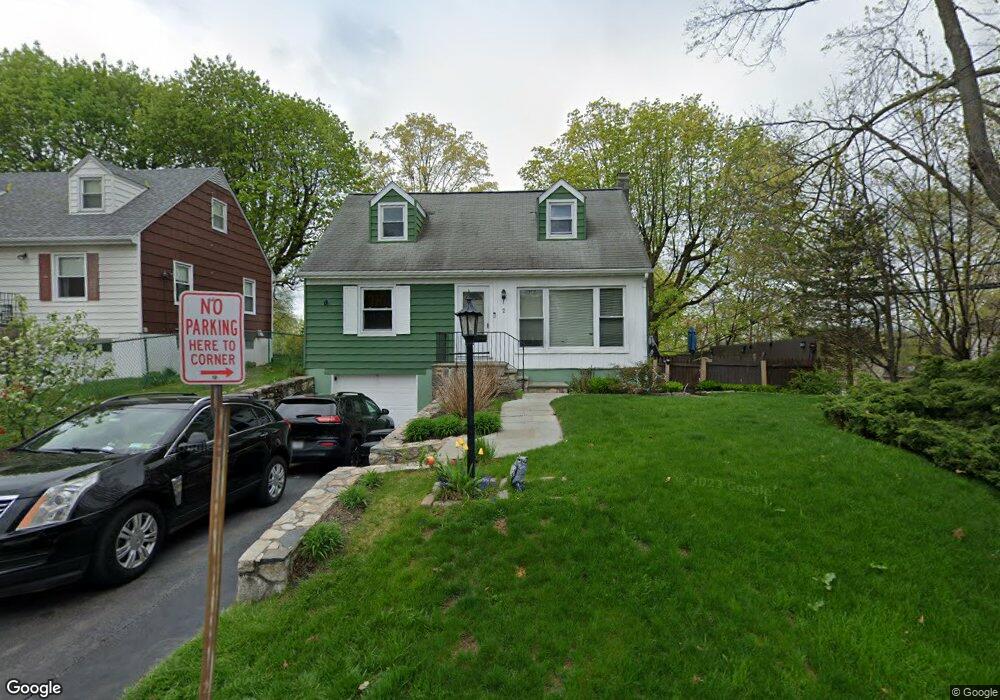
2 Mohawk Rd Ossining, NY 10562
Estimated Value: $600,000 - $669,000
4
Beds
2
Baths
1,456
Sq Ft
$442/Sq Ft
Est. Value
About This Home
This home is located at 2 Mohawk Rd, Ossining, NY 10562 and is currently estimated at $643,643, approximately $442 per square foot. 2 Mohawk Rd is a home located in Westchester County with nearby schools including Park School, Roosevelt Elementary School, and Brookside Elementary School.
Ownership History
Date
Name
Owned For
Owner Type
Purchase Details
Closed on
Apr 27, 2005
Sold by
Mansfield Diane J
Bought by
Bradford Lawrence W
Current Estimated Value
Home Financials for this Owner
Home Financials are based on the most recent Mortgage that was taken out on this home.
Original Mortgage
$359,650
Interest Rate
5.67%
Mortgage Type
Purchase Money Mortgage
Purchase Details
Closed on
Aug 20, 2001
Sold by
Mansfield Diane J
Bought by
Mansfield Bertice L
Create a Home Valuation Report for This Property
The Home Valuation Report is an in-depth analysis detailing your home's value as well as a comparison with similar homes in the area
Home Values in the Area
Average Home Value in this Area
Purchase History
| Date | Buyer | Sale Price | Title Company |
|---|---|---|---|
| Bradford Lawrence W | $400,000 | Michael Bontschi | |
| Mansfield Bertice L | -- | -- |
Source: Public Records
Mortgage History
| Date | Status | Borrower | Loan Amount |
|---|---|---|---|
| Previous Owner | Bradford Lawrence W | $359,650 |
Source: Public Records
Tax History
| Year | Tax Paid | Tax Assessment Tax Assessment Total Assessment is a certain percentage of the fair market value that is determined by local assessors to be the total taxable value of land and additions on the property. | Land | Improvement |
|---|---|---|---|---|
| 2024 | $15,238 | $473,600 | $178,200 | $295,400 |
| 2023 | $12,492 | $438,700 | $178,200 | $260,500 |
| 2022 | $12,618 | $404,600 | $178,200 | $226,400 |
| 2021 | $10,826 | $361,200 | $178,200 | $183,000 |
| 2020 | $12,309 | $361,200 | $178,200 | $183,000 |
| 2019 | $12,003 | $340,200 | $169,700 | $170,500 |
| 2018 | $11,649 | $330,300 | $169,700 | $160,600 |
| 2017 | $6,341 | $327,100 | $169,700 | $157,400 |
| 2016 | $115,305 | $327,100 | $169,700 | $157,400 |
| 2015 | $7,455 | $16,800 | $4,600 | $12,200 |
| 2014 | $7,455 | $16,800 | $4,600 | $12,200 |
| 2013 | $7,455 | $16,800 | $4,600 | $12,200 |
Source: Public Records
Map
Nearby Homes
- 4 Mohawk Rd
- 10 Upper Croton Ave
- 6 Mohawk Rd
- 15 Upper Croton Ave
- 21 Upper Croton Ave
- 1 Mohawk Rd
- 3 Mohawk Rd
- 1A Iroquois Rd
- 1 Iroquois Rd
- 9 Upper Croton Ave
- 12 Mohawk Rd
- 3A Iroquois Rd
- 5 Mohawk Rd
- 23 Upper Croton Ave
- 7 Upper Croton Ave
- 12 Campwoods Rd
- 3 Iroquois Rd
- 10 Campwoods Rd
- 8 Campwoods Rd
- 9 Mohawk Rd
Your Personal Tour Guide
Ask me questions while you tour the home.