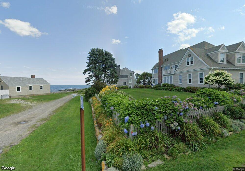
2 Moore Ave Biddeford, ME 04005
Fortunes Rocks NeighborhoodEstimated Value: $1,888,000 - $2,415,000
3
Beds
2
Baths
1,895
Sq Ft
$1,141/Sq Ft
Est. Value
About This Home
This home is located at 2 Moore Ave, Biddeford, ME 04005 and is currently estimated at $2,161,321, approximately $1,140 per square foot. 2 Moore Ave is a home located in York County with nearby schools including John F Kennedy Memorial School, Biddeford Primary School, and Biddeford Intermediate School.
Ownership History
Date
Name
Owned For
Owner Type
Purchase Details
Closed on
Feb 27, 2017
Sold by
Coggin Michael A and Morris Janice M
Bought by
Michael A Coggin 2016 Ret and Coggin
Current Estimated Value
Purchase Details
Closed on
Jan 17, 2007
Sold by
Ralph C Farmer Jr Ret
Bought by
Morris Janice M and Coggin Michael A
Home Financials for this Owner
Home Financials are based on the most recent Mortgage that was taken out on this home.
Original Mortgage
$650,000
Outstanding Balance
$380,406
Interest Rate
6.3%
Mortgage Type
Adjustable Rate Mortgage/ARM
Estimated Equity
$1,780,915
Create a Home Valuation Report for This Property
The Home Valuation Report is an in-depth analysis detailing your home's value as well as a comparison with similar homes in the area
Home Values in the Area
Average Home Value in this Area
Purchase History
| Date | Buyer | Sale Price | Title Company |
|---|---|---|---|
| Michael A Coggin 2016 Ret | -- | -- | |
| Michael A Coggin 2016 Ret | -- | -- | |
| Michael A Coggin 2016 Ret | -- | -- | |
| Morris Janice M | -- | -- | |
| Morris Janice M | -- | -- |
Source: Public Records
Mortgage History
| Date | Status | Borrower | Loan Amount |
|---|---|---|---|
| Open | Morris Janice M | $650,000 | |
| Closed | Morris Janice M | $650,000 |
Source: Public Records
Tax History
| Year | Tax Paid | Tax Assessment Tax Assessment Total Assessment is a certain percentage of the fair market value that is determined by local assessors to be the total taxable value of land and additions on the property. | Land | Improvement |
|---|---|---|---|---|
| 2025 | $25,795 | $1,726,600 | $1,428,300 | $298,300 |
| 2024 | $24,470 | $1,720,800 | $1,428,300 | $292,500 |
| 2023 | $22,534 | $1,717,500 | $1,425,000 | $292,500 |
| 2022 | $20,980 | $1,278,500 | $951,900 | $326,600 |
| 2021 | $19,769 | $1,084,400 | $811,800 | $272,600 |
| 2020 | $19,785 | $986,800 | $738,100 | $248,700 |
| 2019 | $19,716 | $986,800 | $738,100 | $248,700 |
| 2018 | $19,440 | $986,800 | $738,100 | $248,700 |
| 2017 | $19,622 | $977,700 | $738,100 | $239,600 |
| 2016 | $19,417 | $977,700 | $738,100 | $239,600 |
| 2015 | $19,036 | $977,700 | $738,100 | $239,600 |
| 2014 | $18,567 | $977,700 | $738,100 | $239,600 |
| 2013 | -- | $971,700 | $726,500 | $245,200 |
Source: Public Records
Map
Nearby Homes
- 129 Fortunes Rocks Rd
- Lot 6 Longboard Ln
- Lot 7 Longboard Ln
- Lot 4 Longboard Ln
- Lot 3 Longboard Ln
- Lot 2 Longboard Ln
- Lot 1 Longboard Ln
- 124 Granite Point Rd
- 3 Scadlock Mill Rd
- 700 Pool St
- 99 Mile Stretch Rd
- 88-90 Old Pool Rd
- 8 Days Landing
- 111 Mile Stretch Rd
- 1081 Kings Hwy
- 0 Newtown Rd
- 400 West St
- 125 Hills Beach Rd
- 13 Benson
- 5 Red Oak Ln
- 1 Neptune Ln
- 127 Fortunes Rocks Rd
- 4 Moore Ave
- 1 Moore Ave
- 3 Neptune Ln
- 126 Fortunes Rocks Rd
- 2 Neptune Ln
- 128 Fortunes Rocks Rd
- 4 Neptune Ln
- 124 Fortunes Rocks Rd
- 131 Fortunes Rocks Rd
- 5 Neptune Ln
- 6 Neptune Ln
- 3 Oceanspray Ave
- 3 Ocean Spray Fortunes Rocks Ave
- 1 Oceanspray Ave
- 12 Oceanspray Ave
- 122 Fortunes Rocks Rd
- 7 Oceanspray Ave
- 134 Fortunes Rocks Rd
Your Personal Tour Guide
Ask me questions while you tour the home.