2 Mount Paul Rd Mendham, NJ 07945
Estimated Value: $1,330,634 - $1,758,000
4
Beds
5
Baths
4,200
Sq Ft
$353/Sq Ft
Est. Value
About This Home
This home is located at 2 Mount Paul Rd, Mendham, NJ 07945 and is currently estimated at $1,482,659, approximately $353 per square foot. 2 Mount Paul Rd is a home located in Morris County with nearby schools including Mendham Township Elementary School, Mendham Township Middle School, and West Morris Mendham High School.
Ownership History
Date
Name
Owned For
Owner Type
Purchase Details
Closed on
Nov 29, 2014
Sold by
Catania Michael and Rosenfeld Jan
Bought by
Jj Development Vii Llc
Current Estimated Value
Home Financials for this Owner
Home Financials are based on the most recent Mortgage that was taken out on this home.
Original Mortgage
$1,300,000
Outstanding Balance
$999,452
Interest Rate
4.02%
Mortgage Type
Purchase Money Mortgage
Estimated Equity
$483,207
Create a Home Valuation Report for This Property
The Home Valuation Report is an in-depth analysis detailing your home's value as well as a comparison with similar homes in the area
Home Values in the Area
Average Home Value in this Area
Purchase History
| Date | Buyer | Sale Price | Title Company |
|---|---|---|---|
| Jj Development Vii Llc | $1,787,500 | Multiple |
Source: Public Records
Mortgage History
| Date | Status | Borrower | Loan Amount |
|---|---|---|---|
| Open | Jj Development Vii Llc | $1,300,000 |
Source: Public Records
Tax History
| Year | Tax Paid | Tax Assessment Tax Assessment Total Assessment is a certain percentage of the fair market value that is determined by local assessors to be the total taxable value of land and additions on the property. | Land | Improvement |
|---|---|---|---|---|
| 2025 | $19,519 | $1,075,200 | $370,000 | $705,200 |
| 2024 | $18,638 | $1,005,100 | $335,000 | $670,100 |
Source: Public Records
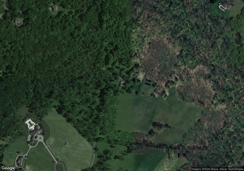
Map
Nearby Homes
- 21 Mt Paul Rd
- 5 Mount Paul Place
- 23 Mount Paul Rd
- 13 Kendall Ct
- 15 Kendall Ct
- 24 Mount Paul Place
- 11 Kendall Ct
- 22 Mount Paul Rd
- 9 Kendall Ct
- 47 Roxiticus Rd
- 8 Kendall Ct
- 45 Roxiticus Rd
- 43 Roxiticus Rd
- 37 Roxiticus Rd
- 39 Roxiticus Rd
- 41 Roxiticus Rd
- 35 Roxiticus Rd
- 4 Bittersweet Ln
- 67 Roxiticus Rd
- 7 Kendall Ct
Your Personal Tour Guide
Ask me questions while you tour the home.