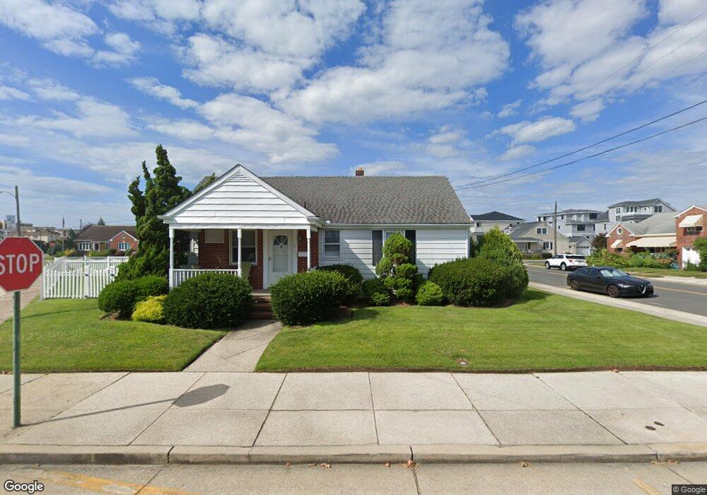
2 N 30th Ave Longport, NJ 08403
Estimated Value: $996,000 - $1,785,000
Studio
--
Bath
1,528
Sq Ft
$968/Sq Ft
Est. Value
About This Home
This home is located at 2 N 30th Ave, Longport, NJ 08403 and is currently estimated at $1,478,466, approximately $967 per square foot. 2 N 30th Ave is a home located in Atlantic County with nearby schools including Blessed Sacrament Regional School and St. James Elementary School.
Ownership History
Date
Name
Owned For
Owner Type
Purchase Details
Closed on
Sep 15, 2004
Sold by
Williams Rosalind W
Bought by
Domb Allan
Current Estimated Value
Purchase Details
Closed on
Nov 20, 1998
Sold by
Haub Margaret A
Bought by
Williams Rosalind W
Purchase Details
Closed on
Jul 15, 1996
Sold by
Haub Charles L
Bought by
Haub Margaret A
Purchase Details
Closed on
Jun 8, 1995
Sold by
Haub Charles L and Haub Margaret A
Bought by
Haub Charles L
Create a Home Valuation Report for This Property
The Home Valuation Report is an in-depth analysis detailing your home's value as well as a comparison with similar homes in the area
Purchase History
| Date | Buyer | Sale Price | Title Company |
|---|---|---|---|
| Domb Allan | $635,000 | -- | |
| Williams Rosalind W | $232,500 | Commonwealth Land Title Ins | |
| Haub Margaret A | -- | -- | |
| Haub Charles L | -- | -- |
Source: Public Records
Tax History
| Year | Tax Paid | Tax Assessment Tax Assessment Total Assessment is a certain percentage of the fair market value that is determined by local assessors to be the total taxable value of land and additions on the property. | Land | Improvement |
|---|---|---|---|---|
| 2025 | $8,177 | $728,800 | $646,700 | $82,100 |
| 2024 | $8,177 | $728,800 | $646,700 | $82,100 |
Source: Public Records
Map
Nearby Homes
- 32 N Pelham Ave
- 32 N Manor Ave
- 22 N 30th Ave
- 24 N Evergreen Ave
- 107 S 28th Ave
- 2700 Atlantic Ave Unit 209
- 3216 Pacific Ave
- 3215 Sunset Ave
- 119 N 34th Ave
- 300 N 33rd Ave
- 9801 Ventnor Ave Unit B-1
- 123 N 35th Ave
- 30 S Coolidge Ave
- 22 N Coolidge Ave
- 109 N 36th Ave
- 104 S Monroe Ave
- 100 N Monroe #2 Ave
- 219 N 36th Ave Unit 219
- 7 S Monroe Ave
- 9609 Pacific Ave Unit 5
- 5 N Manor Ave
- 1 N Manor Ave
- 2939 Longport Dr
- 1 S 30th Ave
- 2933 Longport Dr
- 4 S 30th Ave
- 3002 Ventnor Ave
- 2924 Longport Dr
- 8 N Manor Ave
- 3001 Longport Dr
- 3 S 30th Ave
- 4 N Manor Ave
- 6 N 30th Ave
- 3005 Longport Dr
- 2927 Longport Dr
- 3009 Devon Ave
- 1 S Manor Ave
- 11 N Manor Ave
- 2 N Manor Ave
- 2918 Longport Dr
Your Personal Tour Guide
Ask me questions while you tour the home.