2 N Shore Rd Westminster, MA 01473
Estimated Value: $323,000 - $474,000
2
Beds
1
Bath
943
Sq Ft
$429/Sq Ft
Est. Value
About This Home
This home is located at 2 N Shore Rd, Westminster, MA 01473 and is currently estimated at $404,322, approximately $428 per square foot. 2 N Shore Rd is a home located in Worcester County with nearby schools including Oakmont Regional High School.
Ownership History
Date
Name
Owned For
Owner Type
Purchase Details
Closed on
May 23, 2019
Sold by
Mcnamara Lauren L
Bought by
Vautour Andy J and Cote Shakira C
Current Estimated Value
Home Financials for this Owner
Home Financials are based on the most recent Mortgage that was taken out on this home.
Original Mortgage
$248,300
Outstanding Balance
$217,863
Interest Rate
4.1%
Mortgage Type
New Conventional
Estimated Equity
$186,459
Purchase Details
Closed on
Nov 8, 2002
Sold by
Est Saari Lyyli and Saari Lillian
Bought by
Mcnamara Lauren J
Create a Home Valuation Report for This Property
The Home Valuation Report is an in-depth analysis detailing your home's value as well as a comparison with similar homes in the area
Home Values in the Area
Average Home Value in this Area
Purchase History
| Date | Buyer | Sale Price | Title Company |
|---|---|---|---|
| Vautour Andy J | $190,000 | -- | |
| Mcnamara Lauren J | $70,000 | -- |
Source: Public Records
Mortgage History
| Date | Status | Borrower | Loan Amount |
|---|---|---|---|
| Open | Vautour Andy J | $248,300 | |
| Previous Owner | Mcnamara Lauren J | $100,000 |
Source: Public Records
Tax History Compared to Growth
Tax History
| Year | Tax Paid | Tax Assessment Tax Assessment Total Assessment is a certain percentage of the fair market value that is determined by local assessors to be the total taxable value of land and additions on the property. | Land | Improvement |
|---|---|---|---|---|
| 2025 | $4,314 | $350,700 | $235,100 | $115,600 |
| 2024 | $4,211 | $343,500 | $230,900 | $112,600 |
| 2023 | $3,961 | $303,300 | $204,100 | $99,200 |
| 2022 | $3,893 | $246,400 | $170,600 | $75,800 |
| 2021 | $3,578 | $213,500 | $141,000 | $72,500 |
| 2020 | $3,301 | $188,100 | $120,500 | $67,600 |
| 2019 | $3,051 | $167,200 | $99,600 | $67,600 |
| 2018 | $3,328 | $179,400 | $118,600 | $60,800 |
| 2017 | $3,236 | $177,900 | $118,600 | $59,300 |
| 2016 | $3,003 | $159,900 | $100,600 | $59,300 |
| 2015 | $3,030 | $159,900 | $100,600 | $59,300 |
| 2014 | $3,035 | $159,900 | $100,600 | $59,300 |
Source: Public Records
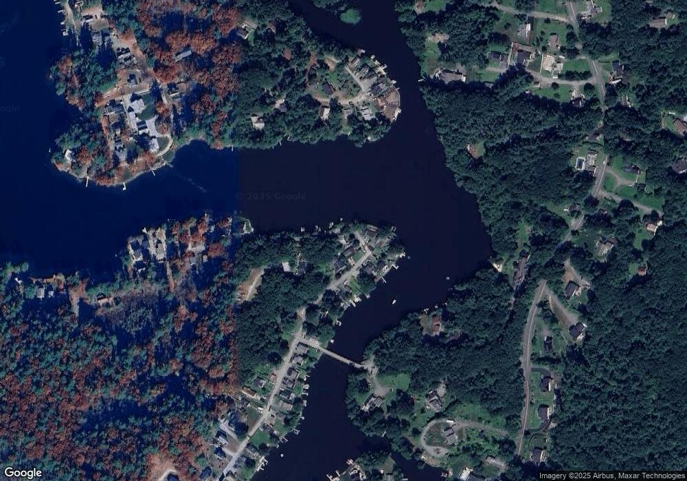
Map
Nearby Homes
- 3 Woods Rd
- 10 Wintturi Rd
- 20 Wachusett Dr
- 5 Linda Dr Unit The Connor
- 169 Narrows Rd
- 240-Lot 2 Davis Rd
- 65 Davis Rd
- 51 State Rd E
- 2 Old Town Farm Rd
- 90 Turnpike Rd
- 62 Bolton Rd Unit Applewood
- 62 Bolton Rd Unit Oakmont
- 0 Worcester Rd Unit 73326124
- 36 Leominster St
- 25 Newcomb Rd
- 207 W Princeton Rd
- 17 Leominster St
- 45 Bacon St
- 47 Pine Hill Rd
- 4 Tandem Dr
- 2 N Shore Rd
- 68 Old Oak Ave
- 75 Old Oak Ave
- 66 Old Oak Ave
- 73 Old Oak Ave
- 67 Old Oak Ave
- 69 Old Oak Ave
- 69 Old Oak Ave Unit 69
- 71 Old Oak Ave
- 65 Old Oak Ave
- 31 Ridge Ave
- 63 Old Oak Ave
- 61A Old Oak Ave
- 61 Old Oak Ave
- 61 Old Oak Ave Unit 1
- 61 Old Oak Ave Unit A
- 61B Old 0ak Ave
- 29 Ridge Ave
- 57 Old Oak Ave
- 53 Old Oak Ave