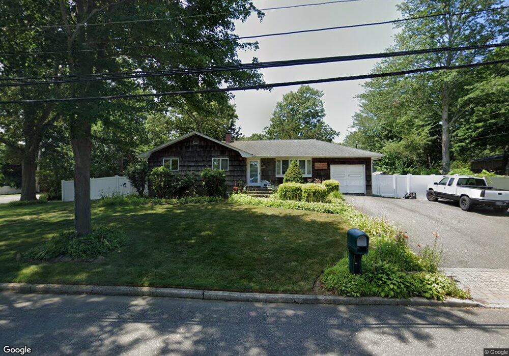
2 New York Ave Port Jefferson Station, NY 11776
Estimated Value: $528,000 - $580,000
3
Beds
1
Bath
1,152
Sq Ft
$484/Sq Ft
Est. Value
About This Home
This home is located at 2 New York Ave, Port Jefferson Station, NY 11776 and is currently estimated at $557,603, approximately $484 per square foot. 2 New York Ave is a home located in Suffolk County with nearby schools including John F Kennedy Middle School and Comsewogue High School.
Ownership History
Date
Name
Owned For
Owner Type
Purchase Details
Closed on
Jan 31, 2022
Sold by
Mcguiness Joseph F and Hazleton Judy
Bought by
Schauder Richard
Current Estimated Value
Purchase Details
Closed on
Oct 11, 2002
Sold by
Morton Kenneth Allen and Morton Elaine
Bought by
Mcguiness Joseph F and Hazelton Judy
Home Financials for this Owner
Home Financials are based on the most recent Mortgage that was taken out on this home.
Original Mortgage
$244,000
Interest Rate
6.16%
Mortgage Type
Purchase Money Mortgage
Create a Home Valuation Report for This Property
The Home Valuation Report is an in-depth analysis detailing your home's value as well as a comparison with similar homes in the area
Home Values in the Area
Average Home Value in this Area
Purchase History
| Date | Buyer | Sale Price | Title Company |
|---|---|---|---|
| Schauder Richard | $410,000 | None Available | |
| Mcguiness Joseph F | -- | -- |
Source: Public Records
Mortgage History
| Date | Status | Borrower | Loan Amount |
|---|---|---|---|
| Previous Owner | Mcguiness Joseph F | $244,000 |
Source: Public Records
Tax History Compared to Growth
Tax History
| Year | Tax Paid | Tax Assessment Tax Assessment Total Assessment is a certain percentage of the fair market value that is determined by local assessors to be the total taxable value of land and additions on the property. | Land | Improvement |
|---|---|---|---|---|
| 2024 | $9,323 | $2,415 | $375 | $2,040 |
| 2023 | $9,323 | $2,415 | $375 | $2,040 |
| 2022 | $8,183 | $2,415 | $375 | $2,040 |
| 2021 | $8,183 | $2,415 | $375 | $2,040 |
| 2020 | $8,401 | $2,415 | $375 | $2,040 |
| 2019 | $8,401 | $0 | $0 | $0 |
| 2018 | $7,987 | $2,415 | $375 | $2,040 |
| 2017 | $7,987 | $2,415 | $375 | $2,040 |
| 2016 | $7,921 | $2,415 | $375 | $2,040 |
| 2015 | -- | $2,415 | $375 | $2,040 |
| 2014 | -- | $2,415 | $375 | $2,040 |
Source: Public Records
Map
Nearby Homes
- 4 Forest Ave
- 203 Sterling St
- 22 Washington Ave
- 26 Forest Ave
- 105 Commodore Cir
- 24 Kennedy Rd
- 171 Minrol St
- 172 Norwood Ave
- 148 Captains Way
- 16 Maryanne Ave
- 191 Bergen St
- 37 Deer Ln
- 4 Linda St
- 460 Old Town Rd Unit 7G
- 460 Old Town Rd Unit 24E
- 460 Old Town Rd Unit 7K
- 460 Old Town Rd Unit 8H
- 460 Old Town Rd Unit 25L Upper Unit
- 460 Old Town Rd Unit 26P
- 460 Old Town Rd Unit 25M
- 1 Forest Ave
- 3 Forest Ave
- 4 New York Ave
- 181 Norwood Ave
- 5 Forest Ave
- 252 Norwood Ave
- 195 Sterling St
- 191 Sterling St
- 3 New York Ave
- 199 Sterling St
- 4 Washington Ave
- 2 Forest Ave
- 6 Forest Ave
- 248 Norwood Ave
- 187 Sterling St
- 2 Washington Ave
- 6 Washington Ave
- 7 Forest Ave
- 6 New York Ave
- 183 Sterling St