2 Nichols Dr Raymond, ME 04071
Estimated Value: $417,047 - $494,000
2
Beds
1
Bath
864
Sq Ft
$521/Sq Ft
Est. Value
About This Home
This home is located at 2 Nichols Dr, Raymond, ME 04071 and is currently estimated at $450,262, approximately $521 per square foot. 2 Nichols Dr is a home located in Cumberland County with nearby schools including Raymond Elementary School, Jordan-Small Middle School, and Windham High School.
Ownership History
Date
Name
Owned For
Owner Type
Purchase Details
Closed on
Jul 31, 2006
Sold by
Lawrence Kerri N and Grover Jodi L
Bought by
Pernini Antoinette M
Current Estimated Value
Home Financials for this Owner
Home Financials are based on the most recent Mortgage that was taken out on this home.
Original Mortgage
$191,000
Outstanding Balance
$114,112
Interest Rate
6.67%
Mortgage Type
Purchase Money Mortgage
Estimated Equity
$336,150
Create a Home Valuation Report for This Property
The Home Valuation Report is an in-depth analysis detailing your home's value as well as a comparison with similar homes in the area
Home Values in the Area
Average Home Value in this Area
Purchase History
| Date | Buyer | Sale Price | Title Company |
|---|---|---|---|
| Pernini Antoinette M | -- | -- |
Source: Public Records
Mortgage History
| Date | Status | Borrower | Loan Amount |
|---|---|---|---|
| Open | Pernini Antoinette M | $191,000 |
Source: Public Records
Tax History Compared to Growth
Tax History
| Year | Tax Paid | Tax Assessment Tax Assessment Total Assessment is a certain percentage of the fair market value that is determined by local assessors to be the total taxable value of land and additions on the property. | Land | Improvement |
|---|---|---|---|---|
| 2024 | $3,237 | $188,200 | $55,500 | $132,700 |
| 2023 | $2,980 | $187,400 | $55,500 | $131,900 |
| 2022 | $2,811 | $187,400 | $55,500 | $131,900 |
| 2021 | $2,642 | $187,400 | $55,500 | $131,900 |
| 2019 | $2,521 | $187,400 | $55,500 | $131,900 |
| 2018 | $8,692 | $187,400 | $55,500 | $131,900 |
| 2017 | $2,305 | $187,400 | $55,500 | $131,900 |
| 2016 | $3,324 | $187,400 | $55,500 | $131,900 |
| 2015 | $2,239 | $187,400 | $55,500 | $131,900 |
| 2014 | $2,211 | $187,400 | $55,500 | $131,900 |
| 2013 | $2,108 | $187,400 | $55,500 | $131,900 |
Source: Public Records
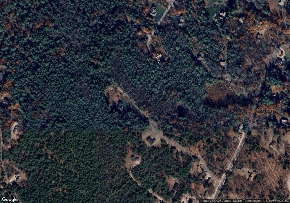
Map
Nearby Homes
- 7 Gore Rd
- 12 Presidential View
- 0 Heidi Way
- 7 Salmon Run
- 2 Flynn Rd
- 2 Gore Rd
- 6 Williams Ln
- 105 Meadow Rd
- 16 Peterson Rd
- 15 Worcester Dr
- 24 Hillside Dr
- 18 Hillside Dr
- 1 Pine Ln
- M011-006 Westwood Rd
- 11-007 Westwood Rd
- 20 Bittersweet Way
- 34 Stoney Brook Rd
- 157 Egypt Rd
- 21 Westwood Rd
- 486 Webbs Mills Rd
- 8 Nichols
- 0 (Lot A) Nichols Dr
- 0 (Lot B) Nichols Dr
- Lot 3 Nichols Dr
- 180 Webbs Mills Rd
- 6 Nichols Dr
- 0 Nichols Dr Unit 1006807
- 0 Nichols Dr Unit 1366844
- 176 Webbs Mills Rd
- 7 Brook Rd
- 179 Webbs Mills Rd
- 187 Webbs Mills Rd
- 2 Westview Dr
- 190 Webbs Mills Rd
- 1 Brook Rd
- 192 Webbs Mills Rd
- 10 Brook Rd
- 168 Webbs Mills Rd
- 195 Webbs Mills Rd
- 18 Nichols Dr