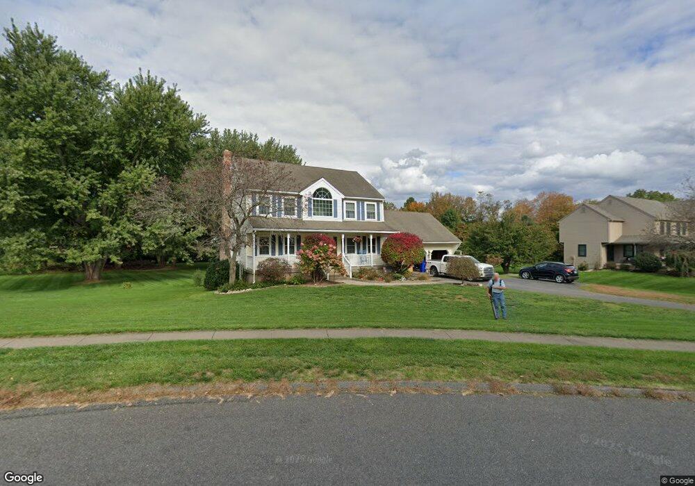
2 Olde Farm Rd Ellington, CT 06029
Estimated Value: $533,516 - $614,000
3
Beds
3
Baths
2,115
Sq Ft
$269/Sq Ft
Est. Value
About This Home
This home is located at 2 Olde Farm Rd, Ellington, CT 06029 and is currently estimated at $568,129, approximately $268 per square foot. 2 Olde Farm Rd is a home located in Tolland County with nearby schools including Ellington High School.
Ownership History
Date
Name
Owned For
Owner Type
Purchase Details
Closed on
Apr 14, 1997
Sold by
Mota Dinarte and Mota Kathleen
Bought by
Landry Richard and Landry Jeannine
Current Estimated Value
Purchase Details
Closed on
Dec 5, 1994
Sold by
Petrucelli Bldrs
Bought by
Mota Dinarte and Mota Kathleen
Purchase Details
Closed on
Jul 5, 1990
Sold by
Village Farms Inc
Bought by
Westwood Park Inc
Create a Home Valuation Report for This Property
The Home Valuation Report is an in-depth analysis detailing your home's value as well as a comparison with similar homes in the area
Home Values in the Area
Average Home Value in this Area
Purchase History
| Date | Buyer | Sale Price | Title Company |
|---|---|---|---|
| Landry Richard | $210,000 | -- | |
| Mota Dinarte | $210,000 | -- | |
| Westwood Park Inc | $80,000 | -- |
Source: Public Records
Mortgage History
| Date | Status | Borrower | Loan Amount |
|---|---|---|---|
| Open | Westwood Park Inc | $150,000 | |
| Closed | Westwood Park Inc | $170,000 |
Source: Public Records
Tax History
| Year | Tax Paid | Tax Assessment Tax Assessment Total Assessment is a certain percentage of the fair market value that is determined by local assessors to be the total taxable value of land and additions on the property. | Land | Improvement |
|---|---|---|---|---|
| 2025 | $8,795 | $237,060 | $69,380 | $167,680 |
| 2024 | $8,534 | $237,060 | $69,380 | $167,680 |
| 2023 | $8,131 | $237,060 | $69,380 | $167,680 |
| 2022 | $7,704 | $237,060 | $69,380 | $167,680 |
| 2021 | $7,491 | $237,060 | $69,380 | $167,680 |
| 2020 | $7,584 | $232,630 | $70,750 | $161,880 |
| 2019 | $7,584 | $232,630 | $70,750 | $161,880 |
| 2016 | $7,095 | $232,630 | $70,750 | $161,880 |
| 2015 | $7,271 | $238,380 | $70,750 | $167,630 |
| 2014 | $6,842 | $238,380 | $70,750 | $167,630 |
Source: Public Records
Map
Nearby Homes
- 89 Maple St
- 3 Meagan Cir
- 58 Maple St
- 164 Pinney St
- 96 Muddy Brook Rd
- 222 Mountain Rd
- 2 Setting Sun Trail
- 6 Setting Sun Trail
- 37 Ellsworth Ln
- 41 Cider Mill Rd
- 11 Settlers Way
- 24 West Rd Unit 44
- 4 Orchard Ave
- 4 Jessie Ln
- 160 East Rd
- 164 East Rd
- 254 Jobs Hill Rd
- 99 Davis Avenue Extension
- 183 Chamberlain Rd
- 14 Pinney St Unit 46
Your Personal Tour Guide
Ask me questions while you tour the home.