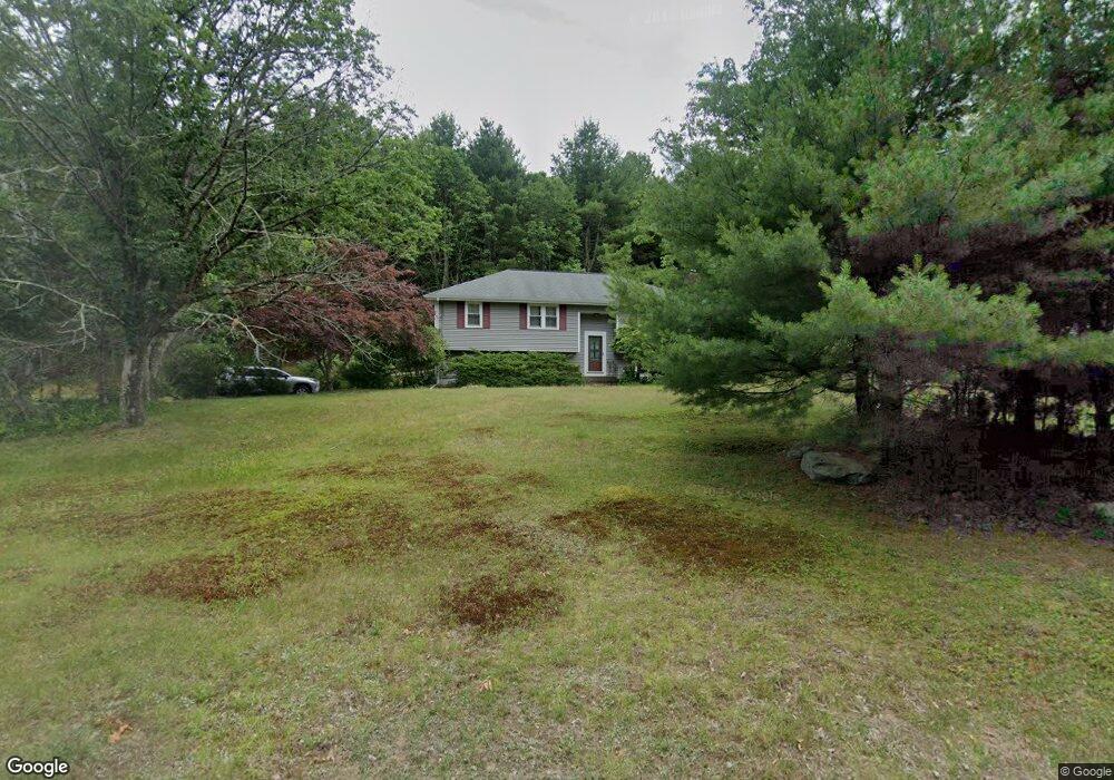
2 Pine St Sharon, MA 02067
Estimated Value: $608,000 - $834,000
3
Beds
2
Baths
1,184
Sq Ft
$597/Sq Ft
Est. Value
About This Home
This home is located at 2 Pine St, Sharon, MA 02067 and is currently estimated at $707,038, approximately $597 per square foot. 2 Pine St is a home located in Norfolk County with nearby schools including Heights Elementary School, Sharon Middle School, and Sharon High School.
Ownership History
Date
Name
Owned For
Owner Type
Purchase Details
Closed on
Jan 30, 1998
Sold by
Taylor Walter J and Taylor Rley M
Bought by
Fischer Joseph
Current Estimated Value
Purchase Details
Closed on
Dec 22, 1988
Sold by
Oak Rdg Constr Co
Bought by
Kent Peter W
Home Financials for this Owner
Home Financials are based on the most recent Mortgage that was taken out on this home.
Original Mortgage
$165,600
Interest Rate
10.18%
Mortgage Type
Purchase Money Mortgage
Create a Home Valuation Report for This Property
The Home Valuation Report is an in-depth analysis detailing your home's value as well as a comparison with similar homes in the area
Home Values in the Area
Average Home Value in this Area
Purchase History
| Date | Buyer | Sale Price | Title Company |
|---|---|---|---|
| Fischer Joseph | $191,250 | -- | |
| Kent Peter W | $207,000 | -- |
Source: Public Records
Mortgage History
| Date | Status | Borrower | Loan Amount |
|---|---|---|---|
| Open | Kent Peter W | $156,000 | |
| Previous Owner | Kent Peter W | $161,000 | |
| Previous Owner | Kent Peter W | $165,600 |
Source: Public Records
Tax History
| Year | Tax Paid | Tax Assessment Tax Assessment Total Assessment is a certain percentage of the fair market value that is determined by local assessors to be the total taxable value of land and additions on the property. | Land | Improvement |
|---|---|---|---|---|
| 2025 | $10,256 | $586,700 | $392,500 | $194,200 |
| 2024 | $9,834 | $559,400 | $360,100 | $199,300 |
| 2023 | $9,615 | $517,200 | $336,700 | $180,500 |
| 2022 | $9,510 | $481,500 | $280,500 | $201,000 |
| 2021 | $9,259 | $453,200 | $256,000 | $197,200 |
| 2020 | $8,447 | $444,600 | $247,400 | $197,200 |
| 2019 | $8,273 | $426,200 | $229,000 | $197,200 |
| 2018 | $8,170 | $421,800 | $224,600 | $197,200 |
| 2017 | $7,989 | $407,200 | $210,000 | $197,200 |
| 2016 | $7,839 | $389,800 | $210,000 | $179,800 |
| 2015 | $7,324 | $360,800 | $192,600 | $168,200 |
| 2014 | $6,794 | $330,600 | $175,100 | $155,500 |
Source: Public Records
Map
Nearby Homes
- 0 U S Route 1
- 180 Old Post Rd Unit 202
- 180 Old Post Rd Unit 206
- 180 Old Post Rd Unit 308
- 180 Old Post Rd Unit 201
- 180 Old Post Rd Unit 405
- 180 Old Post Rd Unit 207
- 587 Common St
- 635 Old Post Rd Unit 303
- 635 Old Post Rd Unit 302
- 635 Old Post Rd Unit 210
- 635 Old Post Rd Unit 2-203
- 6 Eleanor Rd
- 1549 Washington St Unit A
- 3 Stone Hill Terrace
- 668 S Main St
- 37 Alice Ave
- 120 Beach St
- 2 Foxfire Dr
- 1 Palace Ct
Your Personal Tour Guide
Ask me questions while you tour the home.