2 Powers Ln West Yarmouth, MA 02673
West Yarmouth NeighborhoodEstimated Value: $1,805,000 - $3,012,000
3
Beds
3
Baths
1,501
Sq Ft
$1,734/Sq Ft
Est. Value
About This Home
This home is located at 2 Powers Ln, West Yarmouth, MA 02673 and is currently estimated at $2,603,402, approximately $1,734 per square foot. 2 Powers Ln is a home located in Barnstable County with nearby schools including Dennis-Yarmouth Regional High School.
Ownership History
Date
Name
Owned For
Owner Type
Purchase Details
Closed on
Mar 10, 2004
Sold by
Valleau Kathryn C and Valleau Robert T
Bought by
Mcgillicuddy Carolyn A and Mcgillicuddy John K
Current Estimated Value
Home Financials for this Owner
Home Financials are based on the most recent Mortgage that was taken out on this home.
Original Mortgage
$333,700
Outstanding Balance
$155,957
Interest Rate
5.67%
Mortgage Type
Purchase Money Mortgage
Estimated Equity
$2,447,445
Purchase Details
Closed on
Nov 24, 1989
Sold by
Powers Thomas B
Bought by
Valleau Robert T
Home Financials for this Owner
Home Financials are based on the most recent Mortgage that was taken out on this home.
Original Mortgage
$273,600
Interest Rate
9.83%
Mortgage Type
Purchase Money Mortgage
Create a Home Valuation Report for This Property
The Home Valuation Report is an in-depth analysis detailing your home's value as well as a comparison with similar homes in the area
Home Values in the Area
Average Home Value in this Area
Purchase History
| Date | Buyer | Sale Price | Title Company |
|---|---|---|---|
| Mcgillicuddy Carolyn A | $1,057,000 | -- | |
| Valleau Robert T | $342,000 | -- |
Source: Public Records
Mortgage History
| Date | Status | Borrower | Loan Amount |
|---|---|---|---|
| Open | Mcgillicuddy Carolyn A | $333,700 | |
| Previous Owner | Valleau Robert T | $273,600 |
Source: Public Records
Tax History Compared to Growth
Tax History
| Year | Tax Paid | Tax Assessment Tax Assessment Total Assessment is a certain percentage of the fair market value that is determined by local assessors to be the total taxable value of land and additions on the property. | Land | Improvement |
|---|---|---|---|---|
| 2025 | $17,702 | $2,500,300 | $1,647,400 | $852,900 |
| 2024 | $16,225 | $2,198,500 | $1,432,600 | $765,900 |
| 2023 | $13,830 | $1,705,300 | $1,012,600 | $692,700 |
| 2022 | $14,918 | $1,625,000 | $1,100,600 | $524,400 |
| 2021 | $13,778 | $1,441,200 | $960,500 | $480,700 |
| 2020 | $10,844 | $1,084,400 | $667,100 | $417,300 |
| 2019 | $3,513 | $1,034,700 | $667,100 | $367,600 |
| 2018 | $10,341 | $1,005,000 | $637,400 | $367,600 |
| 2017 | $3,383 | $1,005,000 | $637,400 | $367,600 |
| 2016 | $10,023 | $1,004,300 | $637,400 | $366,900 |
| 2015 | -- | $1,005,300 | $637,400 | $367,900 |
Source: Public Records
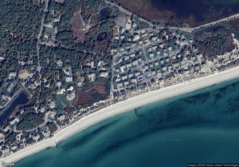
Map
Nearby Homes
- 31 Moss Rd
- 31 Moss Rd
- 286 S Sea Ave
- 14 Heritage Dr
- 21 Heritage Dr
- 10 Mark Way
- 89 Acres Ave
- 41 Yelverton Ln
- 2 Sachem Path
- 30 Nauset Ln
- 90 Broadway St Unit 92
- 90 Broadway St Unit 90
- 25-27 Merrymount Rd
- 25 & 27 Merrymount Rd
- 48 Jerusha Ln
- 21 Schooner St
- 55 Aspinet Rd
- 135 S South Shore Dr Unit 17
- 135 S Shore Dr Unit 17
- 503 Route 28 Unit 15