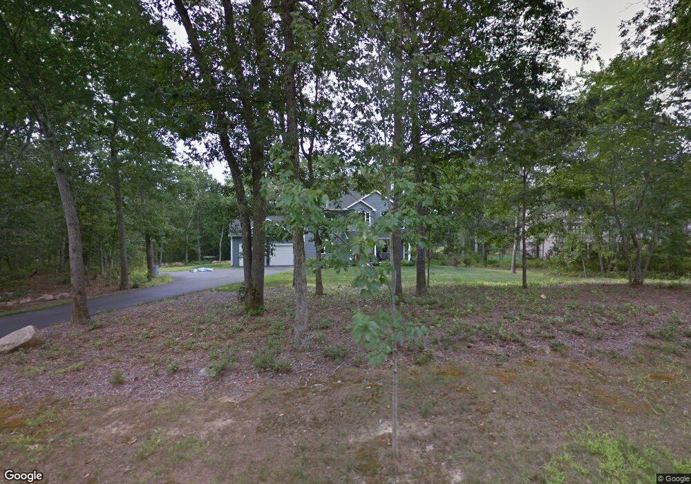
2 Preservation Dr Saunderstown, RI 02874
Estimated Value: $796,000 - $859,000
3
Beds
3
Baths
2,230
Sq Ft
$372/Sq Ft
Est. Value
About This Home
This home is located at 2 Preservation Dr, Saunderstown, RI 02874 and is currently estimated at $829,545, approximately $371 per square foot. 2 Preservation Dr is a home with nearby schools including Stony Lane Elementary School, Wickford Middle School, and North Kingstown Sr. High School.
Ownership History
Date
Name
Owned For
Owner Type
Purchase Details
Closed on
Jun 27, 2008
Sold by
Member Realty Llc
Bought by
Dolinich Stephen C and Dolinich Lisa L
Current Estimated Value
Home Financials for this Owner
Home Financials are based on the most recent Mortgage that was taken out on this home.
Original Mortgage
$108,500
Interest Rate
6.07%
Create a Home Valuation Report for This Property
The Home Valuation Report is an in-depth analysis detailing your home's value as well as a comparison with similar homes in the area
Home Values in the Area
Average Home Value in this Area
Purchase History
| Date | Buyer | Sale Price | Title Company |
|---|---|---|---|
| Dolinich Stephen C | $156,000 | -- |
Source: Public Records
Mortgage History
| Date | Status | Borrower | Loan Amount |
|---|---|---|---|
| Closed | Dolinich Stephen C | $108,500 |
Source: Public Records
Tax History
| Year | Tax Paid | Tax Assessment Tax Assessment Total Assessment is a certain percentage of the fair market value that is determined by local assessors to be the total taxable value of land and additions on the property. | Land | Improvement |
|---|---|---|---|---|
| 2025 | $9,931 | $673,300 | $234,300 | $439,000 |
| 2024 | $7,736 | $673,300 | $234,300 | $439,000 |
| 2023 | $7,229 | $506,600 | $187,400 | $319,200 |
| 2022 | $7,062 | $506,600 | $187,400 | $319,200 |
| 2021 | $6,951 | $506,600 | $187,400 | $319,200 |
| 2020 | $7,133 | $458,100 | $163,000 | $295,100 |
| 2019 | $7,188 | $458,100 | $163,000 | $295,100 |
| 2018 | $7,050 | $458,100 | $163,000 | $295,100 |
| 2017 | $7,320 | $451,000 | $149,400 | $301,600 |
| 2016 | $7,189 | $451,000 | $149,400 | $301,600 |
| 2015 | $6,878 | $447,500 | $149,400 | $298,100 |
| 2014 | $6,146 | $420,100 | $134,600 | $285,500 |
Source: Public Records
Map
Nearby Homes
- 1003 Slocum Rd
- 604 Stony Fort Rd
- 247 Glen Hill Dr
- 81 Old Rd N
- 202 Explorer Dr
- 168 Explorer Dr
- 267 Yawgoo Valley Rd
- 1724 South Rd
- 155 Beechwood Hill Trail
- 79 Linden Dr
- 66 Essex Manor Ln
- 0 South Rd Unit 1400966
- 1808 Kingstown Rd
- 28 N Pasture Ln
- 1255 South Rd
- 918 Saugatucket Rd
- 44 Vespia Ln
- 56 Vespia Ln
- 426 S County Trail
- 18 Railroad Ave
- 18 Preservation Dr
- 5 Preservation Dr
- 5 Preservation Dr
- 1104 Slocum Rd
- 1084 Slocum Rd
- 24 Preservation Dr
- 0 Mia Ct
- 24 Preservation Dr
- 11 Preservation Dr
- 9 Mia Ct
- 5 Mia Ct
- 1120 Slocum Rd
- 1050 Slocum Rd
- 25 Preservation Dr
- 19 Mia Ct
- 26 Preservation Dr
- 27 Preservation Dr
- 1140 Slocum Rd
- 1640 Shermantown Rd
- 4 Sycamore Ln
Your Personal Tour Guide
Ask me questions while you tour the home.