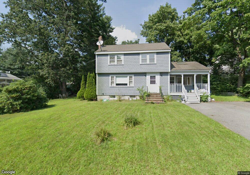
2 Rahway Rd Burlington, MA 01803
Havenville NeighborhoodEstimated Value: $739,277 - $878,000
3
Beds
2
Baths
1,694
Sq Ft
$473/Sq Ft
Est. Value
About This Home
This home is located at 2 Rahway Rd, Burlington, MA 01803 and is currently estimated at $801,319, approximately $473 per square foot. 2 Rahway Rd is a home located in Middlesex County with nearby schools including Burlington High School, Pine Glen Elementary School, and Marshall Simonds Middle School.
Ownership History
Date
Name
Owned For
Owner Type
Purchase Details
Closed on
May 7, 2004
Sold by
Ewing Jennifer A and Ewing Robert D
Bought by
Mceachern Pauline E
Current Estimated Value
Home Financials for this Owner
Home Financials are based on the most recent Mortgage that was taken out on this home.
Original Mortgage
$322,400
Outstanding Balance
$149,989
Interest Rate
5.39%
Mortgage Type
Purchase Money Mortgage
Estimated Equity
$651,330
Purchase Details
Closed on
Oct 15, 1998
Sold by
Whooley Mary A
Bought by
Ewing Robert D and Ewing Jennifer A
Home Financials for this Owner
Home Financials are based on the most recent Mortgage that was taken out on this home.
Original Mortgage
$180,000
Interest Rate
6.8%
Mortgage Type
Purchase Money Mortgage
Create a Home Valuation Report for This Property
The Home Valuation Report is an in-depth analysis detailing your home's value as well as a comparison with similar homes in the area
Home Values in the Area
Average Home Value in this Area
Purchase History
| Date | Buyer | Sale Price | Title Company |
|---|---|---|---|
| Mceachern Pauline E | $403,000 | -- | |
| Ewing Robert D | $225,000 | -- |
Source: Public Records
Mortgage History
| Date | Status | Borrower | Loan Amount |
|---|---|---|---|
| Open | Mceachern Pauline E | $322,400 | |
| Previous Owner | Ewing Robert D | $180,000 |
Source: Public Records
Tax History
| Year | Tax Paid | Tax Assessment Tax Assessment Total Assessment is a certain percentage of the fair market value that is determined by local assessors to be the total taxable value of land and additions on the property. | Land | Improvement |
|---|---|---|---|---|
| 2025 | $5,527 | $638,200 | $373,800 | $264,400 |
| 2024 | $5,272 | $589,700 | $341,300 | $248,400 |
| 2023 | $5,063 | $538,600 | $295,800 | $242,800 |
| 2022 | $4,907 | $493,200 | $268,900 | $224,300 |
| 2021 | $5,888 | $476,200 | $251,900 | $224,300 |
| 2020 | $4,712 | $488,800 | $247,800 | $241,000 |
| 2019 | $5,758 | $430,400 | $231,600 | $198,800 |
| 2018 | $4,410 | $415,300 | $225,100 | $190,200 |
| 2017 | $5,248 | $415,300 | $225,100 | $190,200 |
| 2016 | $4,249 | $370,800 | $195,000 | $175,800 |
| 2015 | $4,209 | $370,800 | $195,000 | $175,800 |
| 2014 | $4,072 | $339,300 | $173,900 | $165,400 |
Source: Public Records
Map
Nearby Homes
- 23 County Rd
- 345 Cambridge St
- 13 Wing Terrace
- 1 Joanne Rd
- 23 Wilmington Rd
- 55 Francis Wyman Rd
- 27 Purity Springs Rd
- 0 Bedford St
- 6 Jonathan Rd
- 12 Murray Ave Unit 18
- 1 Highland Way
- 21 Meadowvale Rd
- 29 Beaverbrook Rd
- 17 Glenvale Ave
- 23 Rocky Hill Rd
- 14 Sarah St
- 12 Ridgeway Ave
- 12 Pleasant St
- 132 Bedford St
- 5 Porter Ave
Your Personal Tour Guide
Ask me questions while you tour the home.