Estimated Value: $413,000 - $616,000
4
Beds
3
Baths
1,960
Sq Ft
$264/Sq Ft
Est. Value
About This Home
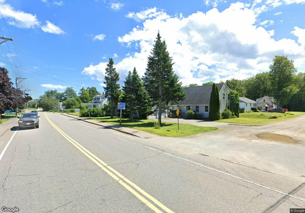
This home is located at 2 Ray Mary Ln, Wells, ME 04090 and is currently estimated at $517,705, approximately $264 per square foot. 2 Ray Mary Ln is a home with nearby schools including Wells Junior High School, Wells Elementary School, and Wells High School.
Ownership History
Date
Name
Owned For
Owner Type
Purchase Details
Closed on
Sep 29, 2023
Sold by
Oshana Samuel P and Lewis Timothy V
Bought by
Resetarits Emily C
Current Estimated Value
Home Financials for this Owner
Home Financials are based on the most recent Mortgage that was taken out on this home.
Original Mortgage
$369,000
Outstanding Balance
$361,363
Interest Rate
7.09%
Mortgage Type
Purchase Money Mortgage
Estimated Equity
$156,342
Purchase Details
Closed on
Oct 17, 2005
Sold by
Bunker Patricia A and Bunker Charles W
Bought by
Oshana Samuel P and Lewis Timothy V
Home Financials for this Owner
Home Financials are based on the most recent Mortgage that was taken out on this home.
Original Mortgage
$216,400
Interest Rate
6%
Mortgage Type
Adjustable Rate Mortgage/ARM
Create a Home Valuation Report for This Property
The Home Valuation Report is an in-depth analysis detailing your home's value as well as a comparison with similar homes in the area
Home Values in the Area
Average Home Value in this Area
Purchase History
| Date | Buyer | Sale Price | Title Company |
|---|---|---|---|
| Resetarits Emily C | $410,000 | None Available | |
| Resetarits Emily C | $410,000 | None Available | |
| Oshana Samuel P | -- | -- | |
| Oshana Samuel P | -- | -- | |
| Oshana Samuel P | -- | -- |
Source: Public Records
Mortgage History
| Date | Status | Borrower | Loan Amount |
|---|---|---|---|
| Open | Resetarits Emily C | $369,000 | |
| Closed | Resetarits Emily C | $369,000 | |
| Previous Owner | Oshana Samuel P | $216,400 | |
| Previous Owner | Oshana Samuel P | $54,100 |
Source: Public Records
Tax History Compared to Growth
Tax History
| Year | Tax Paid | Tax Assessment Tax Assessment Total Assessment is a certain percentage of the fair market value that is determined by local assessors to be the total taxable value of land and additions on the property. | Land | Improvement |
|---|---|---|---|---|
| 2024 | $2,311 | $380,090 | $79,030 | $301,060 |
| 2023 | $2,246 | $376,880 | $79,030 | $297,850 |
| 2022 | $2,108 | $201,490 | $35,860 | $165,630 |
| 2021 | $2,120 | $201,490 | $35,860 | $165,630 |
| 2020 | $2,112 | $201,490 | $35,860 | $165,630 |
| 2019 | $2,100 | $201,490 | $35,860 | $165,630 |
| 2018 | $2,079 | $201,490 | $35,860 | $165,630 |
| 2017 | $2,047 | $201,490 | $35,860 | $165,630 |
| 2016 | $1,842 | $201,490 | $35,860 | $165,630 |
| 2015 | $2,005 | $201,490 | $35,860 | $165,630 |
| 2013 | $1,838 | $201,490 | $35,860 | $165,630 |
Source: Public Records
Map
Nearby Homes
- 1516 Post Rd
- 89 Skyline Cir
- 64 Anna Robert Cir
- 47 Whistle Stop Cir
- 11 Whistle Stop Cir
- 1413 Post Rd Unit 58
- 21 Whistle Stop Cir
- 1372 Post Rd Unit 1C
- 1373 Post Rd Unit 1F
- 1373 Post Rd Unit 7C
- 1373 Post Rd Unit 6B
- 1373 Post Rd Unit 10A
- 97 Flintlock Village Rd Unit 3
- 78 Flintlock Village Unit 1
- 126 Flintlock Village Unit 3
- 126 Flintlock Village Rd Unit 3
- 35 Burnt Mill Rd Unit B
- 176 Flintlock Village Unit 3
- 1733 Post Rd
- 90 Poplar Park Dr
- 14 Ray Mary Ln
- 64 Sanford Rd
- 3 Ray Mary Ln
- 52 Sanford Rd
- 59 Sanford Rd
- 20 Ray Mary Ln
- 19 Ray Mary Ln
- 71 Sanford Rd
- 84 Sanford Rd
- Map 49 Lot Sanford Rd
- 44 Sanford Rd
- 87 Sanford Rd
- 33 Sanford Rd
- 33 Sanford Rd
- 7B Keystone
- 5 Raegans Way Unit 5
- 2 Raegans Way Unit 2
- Lot #13 Water's Edge Dr
- Lot #2 Farm View Way
- 0 Keystone Unit 952020