2 Raymonds Point Rd Coventry, RI 02816
Estimated Value: $371,000 - $755,000
About This Home
This home is located at 2 Raymonds Point Rd, Coventry, RI 02816 and is currently estimated at $596,153, approximately $407 per square foot. 2 Raymonds Point Rd is a home located in Kent County with nearby schools including Alan Shawn Feinstein Ms Of Cov, Coventry High School, and Father John V. Doyle School.
Ownership History
We collect this data history from publicly available records. To have your information removed, we recommend requesting removal directly through your county’s website.
Purchase Details
Purchase History
We collect this data history from publicly available records. To have your information removed, we recommend requesting removal directly through your county’s website.
| Date | Buyer | Sale Price | Title Company |
|---|---|---|---|
| -- | -- |
Mortgage History
We collect this data history from publicly available records. To have your information removed, we recommend requesting removal directly through your county’s website.
| Date | Status | Borrower | Loan Amount |
|---|---|---|---|
| Closed | $205,000 | ||
| Closed | $174,000 |
Tax History
We collect this data history from publicly available records. To have your information removed, we recommend requesting removal directly through your county’s website.
| Year | Tax Paid | Tax Assessment Tax Assessment Total Assessment is a certain percentage of the fair market value that is determined by local assessors to be the total taxable value of land and additions on the property. | Land | Improvement |
|---|---|---|---|---|
| 2025 | $9,221 | $573,100 | $218,800 | $354,300 |
| 2024 | $10,127 | $639,300 | $218,800 | $420,500 |
| 2023 | $9,800 | $639,300 | $218,800 | $420,500 |
| 2022 | $5,485 | $280,300 | $159,200 | $121,100 |
| 2021 | $5,438 | $280,300 | $159,200 | $121,100 |
| 2020 | $6,234 | $280,300 | $159,200 | $121,100 |
| 2019 | $5,796 | $260,600 | $0 | $260,600 |
| 2018 | $5,632 | $260,600 | $0 | $260,600 |
| 2017 | $5,467 | $260,600 | $0 | $260,600 |
| 2016 | $5,188 | $242,300 | $0 | $242,300 |
| 2015 | $5,047 | $242,300 | $0 | $242,300 |
| 2014 | $4,943 | $242,300 | $0 | $242,300 |
| 2013 | $4,745 | $254,300 | $0 | $254,300 |
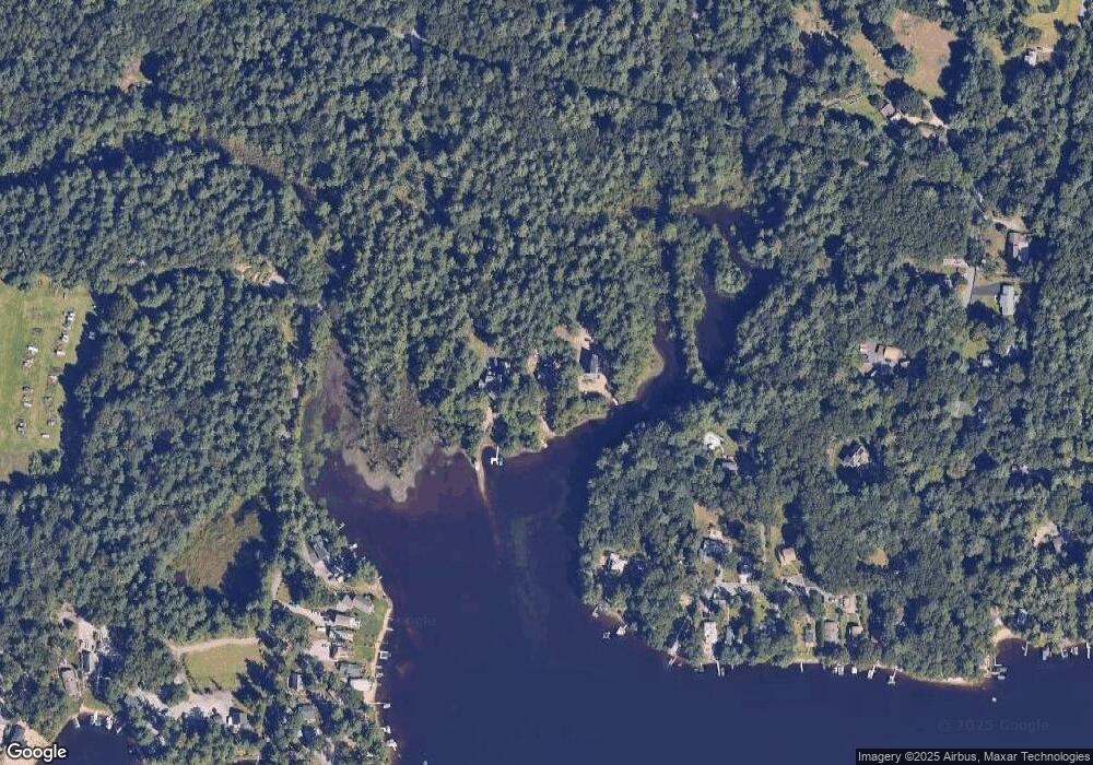
Map
- 181 Ayoho Rd
- 1864 Flat River Rd
- 12 Ayoho Rd
- 1 Whitehead Rd
- 2 Whitehead Rd
- 0 Whitehead Rd Unit 1409268
- 285 Ayoho Rd
- 83 Sunset Lake Cir
- 65 Sunset Lake Cir
- 2 June Ct
- 8 Devon Place
- 193 Shady Valley Rd
- 148 Town Farm Rd
- 110 Reservoir Rd
- 195 Town Farm Rd
- 0 Poor Farm Lot 67 Rd
- 26 Acres of Pine Rd
- 59 Club House Rd
- 9 Eastgate Dr
- 60 Club House Rd
- 5 Raymonds Point Rd
- 247 Whitehead Rd
- 261 Whitehead Rd
- 245 Whitehead Rd
- 8 Raymonds Point Rd
- 9 Raymonds Point Rd
- 225 Whitehead Rd
- 246 Whitehead Rd
- 260 Whitehead Rd
- 155 Whitehead Rd
- 10 Raymonds Point Rd
- 238 Whitehead Rd
- 12 Raymonds Point Rd
- 13 Raymonds Point Rd
- 228 Whitehead Rd
- 133 Whitehead Rd
- 14 Raymonds Point Rd
- 19 Raymonds Point Rd
- 218 Whitehead Rd
- 181 Whitehead Rd
Ask me questions while you tour the home.