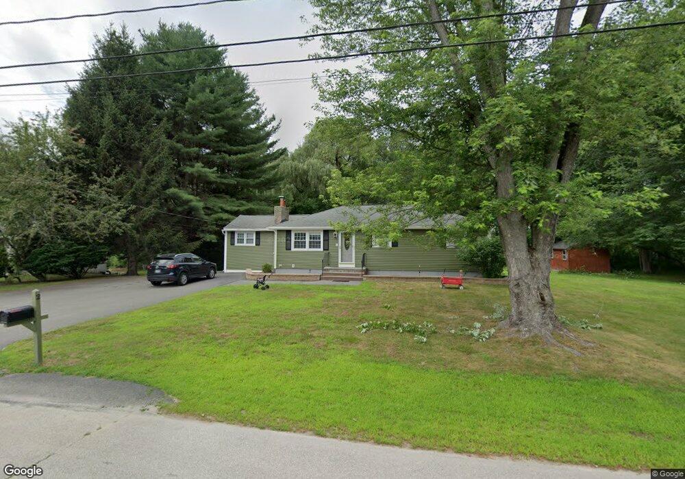
2 Rita Ave Hudson, NH 03051
Estimated Value: $464,000 - $531,000
About This Home
This home is located at 2 Rita Ave, Hudson, NH 03051 and is currently estimated at $498,023, approximately $393 per square foot. 2 Rita Ave is a home with nearby schools including Nottingham West Elementary School, Hudson Memorial School, and Alvirne High School.
Ownership History
We collect this data history from publicly available records. To have your information removed, we recommend requesting removal directly through your county’s website.
Purchase Details
Purchase Details
Home Financials for this Owner
Home Financials are based on the most recent Mortgage that was taken out on this home.Home Values in the Area
Average Home Value in this Area
Purchase History
We collect this data history from publicly available records. To have your information removed, we recommend requesting removal directly through your county’s website.
| Date | Buyer | Sale Price | Title Company |
|---|---|---|---|
| -- | -- | ||
| $236,000 | -- |
Mortgage History
We collect this data history from publicly available records. To have your information removed, we recommend requesting removal directly through your county’s website.
| Date | Status | Borrower | Loan Amount |
|---|---|---|---|
| Previous Owner | $169,100 | ||
| Previous Owner | $192,000 | ||
| Previous Owner | $46,500 | ||
| Previous Owner | $188,800 |
Tax History
We collect this data history from publicly available records. To have your information removed, we recommend requesting removal directly through your county’s website.
| Year | Tax Paid | Tax Assessment Tax Assessment Total Assessment is a certain percentage of the fair market value that is determined by local assessors to be the total taxable value of land and additions on the property. | Land | Improvement |
|---|---|---|---|---|
| 2025 | $6,350 | $371,100 | $154,900 | $216,200 |
| 2024 | $6,105 | $371,100 | $154,900 | $216,200 |
| 2023 | $5,819 | $371,100 | $154,900 | $216,200 |
| 2022 | $5,451 | $371,100 | $154,900 | $216,200 |
| 2021 | $5,259 | $242,700 | $101,700 | $141,000 |
| 2020 | $5,186 | $242,700 | $101,700 | $141,000 |
| 2019 | $11,034 | $242,700 | $101,700 | $141,000 |
| 2018 | $4,808 | $239,200 | $101,700 | $137,500 |
| 2017 | $10,638 | $239,200 | $101,700 | $137,500 |
| 2016 | $10,134 | $203,100 | $97,100 | $106,000 |
| 2015 | $4,316 | $203,100 | $97,100 | $106,000 |
| 2014 | $4,231 | $203,100 | $97,100 | $106,000 |
| 2013 | $4,176 | $203,100 | $97,100 | $106,000 |
Map
- 5A Mark St
- 5 Mark St
- 160 Daniel Webster Hwy Unit 201
- 14 James Way Unit 9
- 7 Autumn Leaf Dr Unit U24
- 18 Bluestone Dr
- 26 Bluestone Dr
- 6 Autumn Leaf Dr Unit 20
- 4 Louisburg Square Unit 6
- 1 Louisburg Square Unit 1
- 16 Sanders Rd
- 68 Farmington Rd
- 47 Farmington Rd
- 37 W Glenwood St Unit 72
- 11 Parkhurst Dr
- 2 Farmington Rd
- 158 Standish Ln
- 78 Gowing Rd
- 54 Schaefer Cir
- 27 Winslow Farm Rd
Ask me questions while you tour the home.