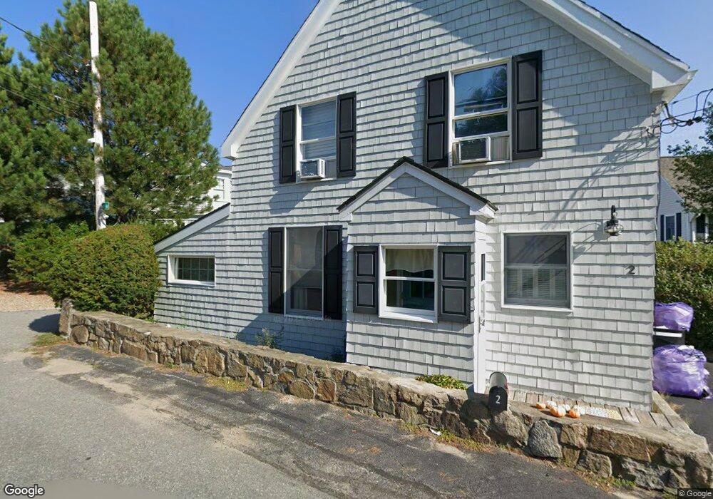
2 Riverside Rd Gloucester, MA 01930
Riverview NeighborhoodEstimated Value: $818,000 - $1,955,000
3
Beds
2
Baths
1,478
Sq Ft
$913/Sq Ft
Est. Value
About This Home
This home is located at 2 Riverside Rd, Gloucester, MA 01930 and is currently estimated at $1,349,249, approximately $912 per square foot. 2 Riverside Rd is a home located in Essex County with nearby schools including Beeman Memorial, Ralph B O'maley Middle School, and Gloucester High School.
Ownership History
Date
Name
Owned For
Owner Type
Purchase Details
Closed on
Dec 28, 2021
Sold by
Burns Brenda H and Burns Douglas J
Bought by
Douglas J Burns Ft
Current Estimated Value
Purchase Details
Closed on
Jan 22, 2010
Sold by
Loos Rebecca F
Bought by
Burns Douglas J and Burns Brenda H
Home Financials for this Owner
Home Financials are based on the most recent Mortgage that was taken out on this home.
Original Mortgage
$467,500
Interest Rate
4.79%
Mortgage Type
Purchase Money Mortgage
Purchase Details
Closed on
Jan 8, 2007
Sold by
Moore Cathleen H and Moore John Stratton
Bought by
Loos Rebecca F
Create a Home Valuation Report for This Property
The Home Valuation Report is an in-depth analysis detailing your home's value as well as a comparison with similar homes in the area
Home Values in the Area
Average Home Value in this Area
Purchase History
| Date | Buyer | Sale Price | Title Company |
|---|---|---|---|
| Douglas J Burns Ft | -- | None Available | |
| Burns Douglas J | $668,000 | -- | |
| Loos Rebecca F | $668,000 | -- |
Source: Public Records
Mortgage History
| Date | Status | Borrower | Loan Amount |
|---|---|---|---|
| Previous Owner | Loos Rebecca F | $467,500 | |
| Previous Owner | Loos Rebecca F | $333,700 | |
| Previous Owner | Loos Rebecca F | $142,000 |
Source: Public Records
Tax History
| Year | Tax Paid | Tax Assessment Tax Assessment Total Assessment is a certain percentage of the fair market value that is determined by local assessors to be the total taxable value of land and additions on the property. | Land | Improvement |
|---|---|---|---|---|
| 2025 | $12,129 | $1,247,800 | $860,600 | $387,200 |
| 2024 | $11,743 | $1,206,900 | $819,700 | $387,200 |
| 2023 | $10,993 | $1,038,100 | $699,200 | $338,900 |
| 2022 | $10,624 | $905,700 | $608,200 | $297,500 |
| 2021 | $10,253 | $824,200 | $552,800 | $271,400 |
| 2020 | $10,092 | $818,500 | $552,800 | $265,700 |
| 2019 | $9,643 | $759,900 | $527,100 | $232,800 |
| 2018 | $9,360 | $723,900 | $514,300 | $209,600 |
| 2017 | $9,084 | $688,700 | $489,700 | $199,000 |
| 2016 | $8,735 | $641,800 | $468,500 | $173,300 |
| 2015 | $8,443 | $618,500 | $457,900 | $160,600 |
Source: Public Records
Map
Nearby Homes
- 2 Breezy Point Rd
- 672 Washington St
- 13 Honeysuckle Rd
- 3 Deacon Farm Ln
- 167 Atlantic St
- 178 Atlantic St
- 226 Atlantic St
- 31 Echo Ave
- 136 Leonard St
- 3 Rockland St
- 13 Mystic Ave
- 8 Mystic Ave
- 4 Ciaramitaro Ct
- 6 Monroe Ct
- 98 Maplewood Ave
- 9 Cleveland Place
- 12 Arthur St
- 40 Sargent St
- 19 Trask St Unit 2
- 15 Harvard St
- 4 Riverside Rd
- 154 Wheeler St
- 145 Wheeler St
- 3 Riverside Rd
- 6 Riverside Rd
- 7 Riverside Rd
- 156 Wheeler St
- 150 Wheeler St
- 9 Riverside Rd
- 160 Wheeler St
- 158 Wheeler St
- 143 Wheeler St
- 8 Riverside Rd
- 162 Wheeler St
- 13 Riverside Rd
- 144 Wheeler St
- 10 Riverside Rd
- 17 Riverside Rd
- 17 Riverside Rd
- 14 Riverside Rd
Your Personal Tour Guide
Ask me questions while you tour the home.