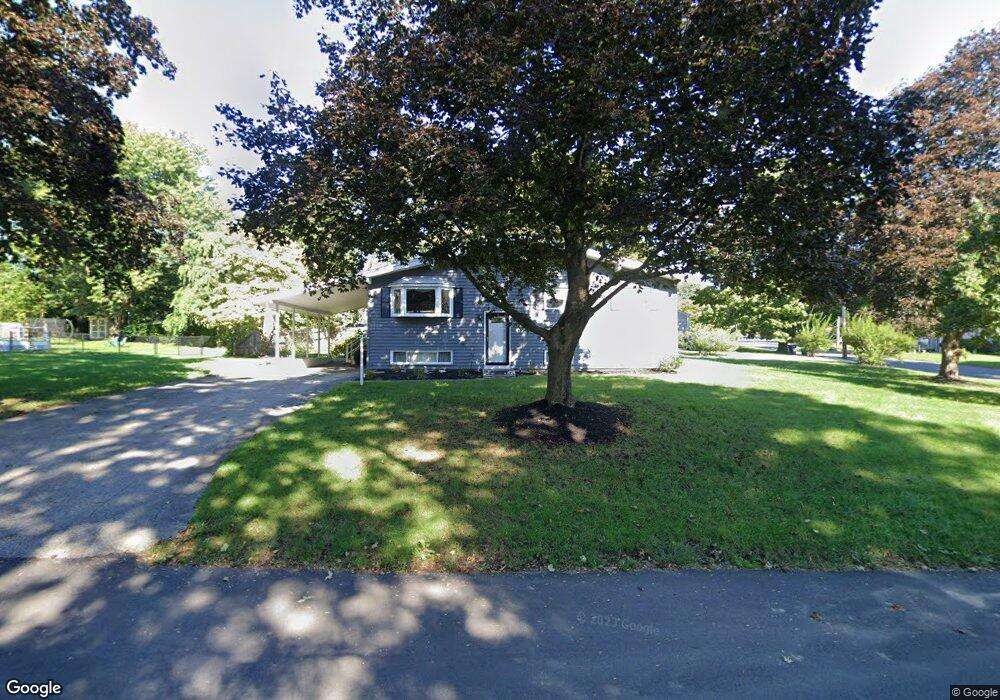
2 Robin Cir Medway, MA 02053
Estimated Value: $523,000 - $624,000
3
Beds
1
Bath
1,664
Sq Ft
$335/Sq Ft
Est. Value
About This Home
This home is located at 2 Robin Cir, Medway, MA 02053 and is currently estimated at $557,900, approximately $335 per square foot. 2 Robin Cir is a home located in Norfolk County with nearby schools including John D. McGovern Elementary School, Burke-Memorial Elementary, and Medway Middle School.
Ownership History
Date
Name
Owned For
Owner Type
Purchase Details
Closed on
Jul 31, 2008
Sold by
Lillian Schulz Irt and Schulz Edward J
Bought by
Pride Diane E
Current Estimated Value
Home Financials for this Owner
Home Financials are based on the most recent Mortgage that was taken out on this home.
Original Mortgage
$258,875
Outstanding Balance
$171,070
Interest Rate
6.47%
Mortgage Type
Purchase Money Mortgage
Estimated Equity
$386,830
Create a Home Valuation Report for This Property
The Home Valuation Report is an in-depth analysis detailing your home's value as well as a comparison with similar homes in the area
Home Values in the Area
Average Home Value in this Area
Purchase History
| Date | Buyer | Sale Price | Title Company |
|---|---|---|---|
| Pride Diane E | $272,500 | -- |
Source: Public Records
Mortgage History
| Date | Status | Borrower | Loan Amount |
|---|---|---|---|
| Open | Pride Diane E | $258,875 |
Source: Public Records
Tax History
| Year | Tax Paid | Tax Assessment Tax Assessment Total Assessment is a certain percentage of the fair market value that is determined by local assessors to be the total taxable value of land and additions on the property. | Land | Improvement |
|---|---|---|---|---|
| 2025 | $6,588 | $462,300 | $285,700 | $176,600 |
| 2024 | $6,657 | $462,300 | $285,700 | $176,600 |
| 2023 | $6,402 | $401,600 | $236,700 | $164,900 |
| 2022 | $6,083 | $359,300 | $210,200 | $149,100 |
| 2021 | $5,762 | $330,000 | $193,900 | $136,100 |
| 2020 | $5,481 | $313,200 | $179,600 | $133,600 |
| 2019 | $5,230 | $308,200 | $179,600 | $128,600 |
| 2018 | $5,256 | $297,600 | $171,400 | $126,200 |
| 2017 | $5,200 | $290,200 | $165,300 | $124,900 |
| 2016 | $4,933 | $272,400 | $159,200 | $113,200 |
| 2015 | $4,766 | $261,300 | $146,900 | $114,400 |
| 2014 | $4,842 | $257,000 | $146,900 | $110,100 |
Source: Public Records
Map
Nearby Homes
- 33 Gorwin Dr
- 50 Main St
- 8 Gable Way
- 25 Howe St
- 20 Broad St Unit 1
- 20 Broad St Unit 6
- 20 Broad St Unit A
- 20 Broad St Unit 4
- 10 Barber St
- 253 Village St
- 14 Sanford St Unit 47
- 280 Village St Unit F1
- 40 Timber Crest Dr
- 84 Winthrop St
- 32 Ohlson Cir
- 11 Fairway Ln
- 176 Main St Unit 3
- 26 Timber Crest Dr
- 17 Fairway Ln
- 839 Lincoln St
Your Personal Tour Guide
Ask me questions while you tour the home.