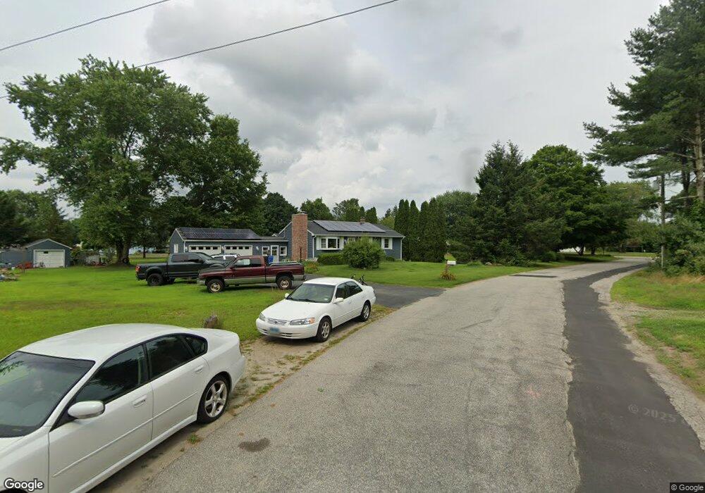
2 Robin Rd Plainfield, CT 06374
Estimated Value: $298,000 - $350,158
3
Beds
2
Baths
960
Sq Ft
$338/Sq Ft
Est. Value
About This Home
This home is located at 2 Robin Rd, Plainfield, CT 06374 and is currently estimated at $324,790, approximately $338 per square foot. 2 Robin Rd is a home located in Windham County with nearby schools including Plainfield Memorial School, Plainfield Central Middle School, and Plainfield High School.
Ownership History
Date
Name
Owned For
Owner Type
Purchase Details
Closed on
Mar 31, 2008
Sold by
Us Bk
Bought by
Aubin James F
Current Estimated Value
Purchase Details
Closed on
Jul 26, 2006
Sold by
Tetreault Scott E
Bought by
Dobson Ronald and Dobson Vivian L
Purchase Details
Closed on
Nov 29, 1999
Sold by
Bankers Trust Co
Bought by
Tetreault Scott E
Purchase Details
Closed on
Sep 21, 1989
Sold by
Mink Lana
Bought by
Faden David
Create a Home Valuation Report for This Property
The Home Valuation Report is an in-depth analysis detailing your home's value as well as a comparison with similar homes in the area
Home Values in the Area
Average Home Value in this Area
Purchase History
| Date | Buyer | Sale Price | Title Company |
|---|---|---|---|
| Aubin James F | $167,000 | -- | |
| Aubin James F | $167,000 | -- | |
| Dobson Ronald | $206,500 | -- | |
| Dobson Ronald | $206,500 | -- | |
| Tetreault Scott E | $85,000 | -- | |
| Tetreault Scott E | $85,000 | -- | |
| Faden David | $112,000 | -- |
Source: Public Records
Mortgage History
| Date | Status | Borrower | Loan Amount |
|---|---|---|---|
| Open | Faden David | $135,360 | |
| Closed | Faden David | $169,200 |
Source: Public Records
Tax History
| Year | Tax Paid | Tax Assessment Tax Assessment Total Assessment is a certain percentage of the fair market value that is determined by local assessors to be the total taxable value of land and additions on the property. | Land | Improvement |
|---|---|---|---|---|
| 2025 | $4,193 | $180,440 | $29,260 | $151,180 |
| 2024 | $4,029 | $180,440 | $29,260 | $151,180 |
| 2023 | $4,009 | $180,440 | $29,260 | $151,180 |
| 2022 | $5,176 | $113,440 | $26,620 | $86,820 |
| 2021 | $3,390 | $112,510 | $26,620 | $85,890 |
| 2020 | $3,379 | $112,510 | $26,620 | $85,890 |
| 2019 | $3,379 | $112,510 | $26,620 | $85,890 |
| 2018 | $3,337 | $112,510 | $26,620 | $85,890 |
| 2017 | $3,035 | $95,970 | $24,730 | $71,240 |
| 2016 | $2,927 | $95,970 | $24,730 | $71,240 |
| 2015 | $2,861 | $95,970 | $24,730 | $71,240 |
| 2014 | $2,861 | $95,970 | $24,730 | $71,240 |
Source: Public Records
Map
Nearby Homes
- 11 Brookside
- 34 Pleasant St Unit 6
- 34 Pleasant St Unit 4
- 34 Pleasant St Unit 3
- 34 Pleasant St Unit 7
- 34 Pleasant St Unit 8
- 34 Pleasant St Unit 5
- 33 Railroad Ave
- 46 Pleasant St Unit 48
- 00 Norwich Rd
- 0A Norwich Rd
- 0 Pond St Unit 24037041
- 40 Tarbox Rd
- 0 Dow Rd Unit 24128109
- 230 Cemetery Rd
- 0 West Pkwy
- 83 Kate Downing Rd
- 36 Plainfield Pike
- 29 Old Canterbury Rd
- 249 S Canterbury Rd
Your Personal Tour Guide
Ask me questions while you tour the home.