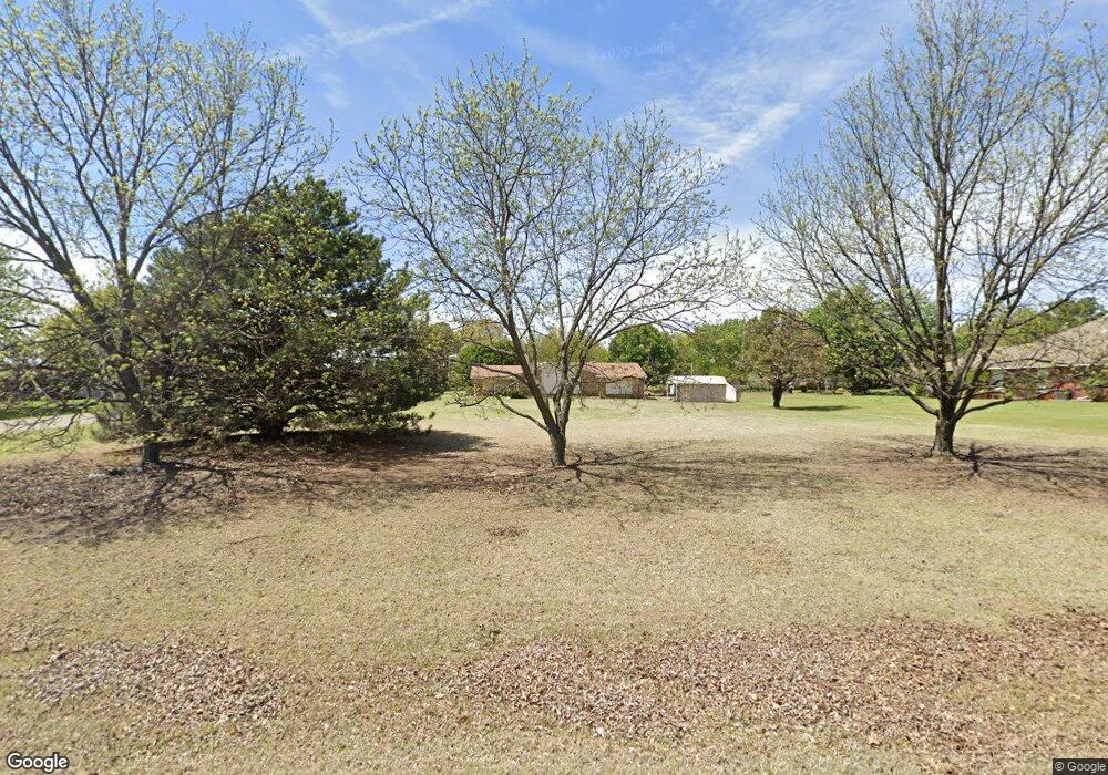
2 Robin Rd Shawnee, OK 74804
Estimated Value: $221,000 - $273,000
3
Beds
2
Baths
1,945
Sq Ft
$127/Sq Ft
Est. Value
About This Home
This home is located at 2 Robin Rd, Shawnee, OK 74804 and is currently estimated at $247,168, approximately $127 per square foot. 2 Robin Rd is a home located in Pottawatomie County with nearby schools including Dale Elementary School, Dale Middle School, and Dale High School.
Ownership History
Date
Name
Owned For
Owner Type
Purchase Details
Closed on
Jun 13, 2025
Sold by
Tigner Shanna Jenae and Rollie Mckinley
Bought by
Tigner Shanna Jenae and Tigner Rollie Mckinley
Current Estimated Value
Purchase Details
Closed on
Jul 21, 2021
Sold by
Novey Beverly Ann
Bought by
Novey Beverly Ann and Tigner Shanna Jenae
Purchase Details
Closed on
Jun 27, 1997
Sold by
Clarke Rocky and Clarke Pamela
Bought by
Novey David and Novey Beverly
Purchase Details
Closed on
Mar 31, 1995
Sold by
Freeman Harold and Freeman Rita
Bought by
Clarke Rocky and Clarke Pamela
Purchase Details
Closed on
Apr 2, 1993
Sold by
Swart Gary and Swart Ruby
Bought by
Freeman Rita and Freeman Harold
Create a Home Valuation Report for This Property
The Home Valuation Report is an in-depth analysis detailing your home's value as well as a comparison with similar homes in the area
Purchase History
| Date | Buyer | Sale Price | Title Company |
|---|---|---|---|
| Tigner Shanna Jenae | -- | None Listed On Document | |
| Novey Beverly Ann | -- | None Listed On Document | |
| Novey David | $85,000 | -- | |
| Clarke Rocky | $52,300 | -- | |
| Freeman Rita | $51,000 | -- |
Source: Public Records
Tax History
| Year | Tax Paid | Tax Assessment Tax Assessment Total Assessment is a certain percentage of the fair market value that is determined by local assessors to be the total taxable value of land and additions on the property. | Land | Improvement |
|---|---|---|---|---|
| 2025 | -- | $14,598 | $1,800 | $12,798 |
| 2024 | -- | $13,903 | $1,800 | $12,103 |
| 2023 | -- | $13,903 | $1,800 | $12,103 |
| 2022 | $0 | $13,903 | $1,800 | $12,103 |
| 2021 | $0 | $13,903 | $1,800 | $12,103 |
| 2020 | $1,480 | $13,140 | $1,800 | $11,340 |
| 2019 | $1,549 | $13,235 | $1,784 | $11,451 |
| 2018 | $0 | $12,605 | $1,656 | $10,949 |
| 2017 | $0 | $12,004 | $1,552 | $10,452 |
| 2016 | $1,024 | $11,433 | $1,489 | $9,944 |
| 2015 | $1,024 | $10,888 | $1,532 | $9,356 |
| 2014 | $1,024 | $10,370 | $1,432 | $8,938 |
Source: Public Records
Map
Nearby Homes
- 8 Clark Cir
- 37802 W Old Highway 270
- 36601 W 45th St
- 10667 N Kickapoo Ave
- 2700 Woodlawn Ct
- 2715 Woodlawn Ct
- 2727 Woodlawn Ct
- 38172 W 45th St
- 0 Gaddy Rd Unit OKC1215621
- 13804 Coker Rd
- 27 Willowbrook
- 129 Lake Shore Dr
- 121 Lake Shore Dr
- 36236 Prairie Ridge Ct
- 0 Coker Rd
- 36021 Prairie Rdg Rd
- 36506 Garretts Lake Rd
- 37614 W Macarthur St
- 35502 Pecan Grove Rd
- 36656 Garrett's Lake Rd
Your Personal Tour Guide
Ask me questions while you tour the home.