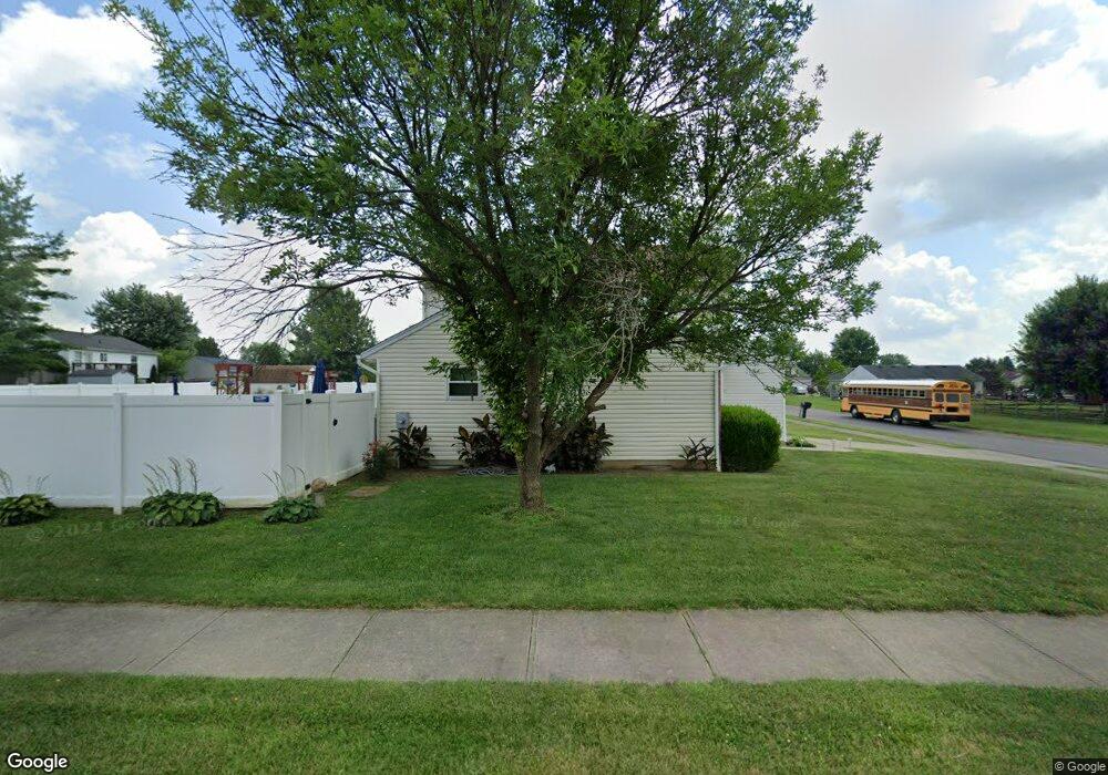
2 Robin Way Amelia, OH 45102
Estimated Value: $293,868 - $329,000
3
Beds
3
Baths
1,561
Sq Ft
$197/Sq Ft
Est. Value
About This Home
This home is located at 2 Robin Way, Amelia, OH 45102 and is currently estimated at $308,217, approximately $197 per square foot. 2 Robin Way is a home located in Clermont County with nearby schools including Amelia Elementary School, West Clermont Middle School, and West Clermont High School.
Ownership History
Date
Name
Owned For
Owner Type
Purchase Details
Closed on
Nov 27, 2012
Sold by
Preston Douglas P
Bought by
Preston Douglas P and Preston Doreen S
Current Estimated Value
Purchase Details
Closed on
Dec 23, 1997
Sold by
Crossmann Communities Of
Bought by
Douglas P Preston
Home Financials for this Owner
Home Financials are based on the most recent Mortgage that was taken out on this home.
Original Mortgage
$120,300
Outstanding Balance
$20,586
Interest Rate
7.36%
Mortgage Type
VA
Estimated Equity
$287,631
Create a Home Valuation Report for This Property
The Home Valuation Report is an in-depth analysis detailing your home's value as well as a comparison with similar homes in the area
Home Values in the Area
Average Home Value in this Area
Purchase History
| Date | Buyer | Sale Price | Title Company |
|---|---|---|---|
| Preston Douglas P | -- | None Available | |
| Douglas P Preston | $117,950 | -- |
Source: Public Records
Mortgage History
| Date | Status | Borrower | Loan Amount |
|---|---|---|---|
| Open | Douglas P Preston | $120,300 |
Source: Public Records
Tax History
| Year | Tax Paid | Tax Assessment Tax Assessment Total Assessment is a certain percentage of the fair market value that is determined by local assessors to be the total taxable value of land and additions on the property. | Land | Improvement |
|---|---|---|---|---|
| 2024 | $4,418 | $86,450 | $14,910 | $71,540 |
| 2023 | $4,425 | $86,450 | $14,910 | $71,540 |
| 2022 | $3,635 | $61,710 | $10,500 | $51,210 |
| 2021 | $3,593 | $61,710 | $10,500 | $51,210 |
| 2020 | $3,598 | $61,780 | $10,500 | $51,280 |
| 2019 | $2,855 | $53,620 | $10,290 | $43,330 |
| 2018 | $2,883 | $53,620 | $10,290 | $43,330 |
| 2017 | $2,826 | $53,620 | $10,290 | $43,330 |
| 2016 | $2,826 | $47,460 | $9,100 | $38,360 |
| 2015 | $2,640 | $47,460 | $9,100 | $38,360 |
| 2014 | $2,640 | $47,460 | $9,100 | $38,360 |
| 2013 | $2,639 | $46,970 | $10,500 | $36,470 |
Source: Public Records
Map
Nearby Homes
- 27 Heron Dr
- 11 Finch Ct
- 253 Deer Creek Dr
- 263 Deer Creek Dr
- 1538 Denny Dr
- 1554 Denny Dr
- 21 Mallard Dr
- 1969 Ohio 125
- 27 Locustwood Ct
- 288 Samplewood Ln
- 1821 Ohio 125
- 185 Woodside Park Dr
- 9 Letitia Ave
- 0 Ohio 125
- 80 Marigold Ln
- 16 Sperling Dr
- 67 Snapdragon Dr
- 57 Marigold Ln
- 12 Ledgerwoods Dr Unit 8
- 46 Huntington Ave
Your Personal Tour Guide
Ask me questions while you tour the home.