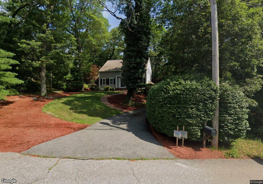
2 Rock Rd Attleboro, MA 02703
Estimated Value: $678,000 - $982,000
4
Beds
3
Baths
2,404
Sq Ft
$336/Sq Ft
Est. Value
About This Home
This home is located at 2 Rock Rd, Attleboro, MA 02703 and is currently estimated at $807,543, approximately $335 per square foot. 2 Rock Rd is a home located in Bristol County with nearby schools including A. Irvin Studley Elementary School, Robert J. Coelho Middle School, and Attleboro High School.
Create a Home Valuation Report for This Property
The Home Valuation Report is an in-depth analysis detailing your home's value as well as a comparison with similar homes in the area
Home Values in the Area
Average Home Value in this Area
Tax History
| Year | Tax Paid | Tax Assessment Tax Assessment Total Assessment is a certain percentage of the fair market value that is determined by local assessors to be the total taxable value of land and additions on the property. | Land | Improvement |
|---|---|---|---|---|
| 2025 | $7,994 | $637,000 | $190,200 | $446,800 |
| 2024 | $8,212 | $645,100 | $209,000 | $436,100 |
| 2023 | $7,746 | $565,800 | $183,600 | $382,200 |
| 2022 | $7,254 | $502,000 | $162,400 | $339,600 |
| 2021 | $6,561 | $443,300 | $156,200 | $287,100 |
| 2020 | $6,392 | $439,000 | $148,200 | $290,800 |
| 2019 | $5,912 | $417,500 | $145,400 | $272,100 |
| 2018 | $5,500 | $371,100 | $141,200 | $229,900 |
| 2017 | $5,523 | $379,600 | $146,800 | $232,800 |
| 2016 | $5,183 | $349,700 | $163,300 | $186,400 |
| 2015 | $4,691 | $318,900 | $163,300 | $155,600 |
| 2014 | $4,587 | $308,900 | $158,000 | $150,900 |
Source: Public Records
Map
Nearby Homes
- 135 Cumberland Ave
- 82 Cumberland Ave
- 176 Read St
- 0 Middle St
- 517 Newport Ave
- 101 Middle St
- 98 England Rd
- 63 Prescott St
- 513 Old Post Rd
- 142 May St
- 336 Allen Ave
- 0 Alfred St
- 18 Haduk Dr
- 0 Mendon Road (Rear)
- 720 Thacher St
- 39 Slade Ave
- 0 Mckay St
- 856 Newport Ave
- 660 Thacher St Unit 402
- 101 South Ave Unit 1004
Your Personal Tour Guide
Ask me questions while you tour the home.