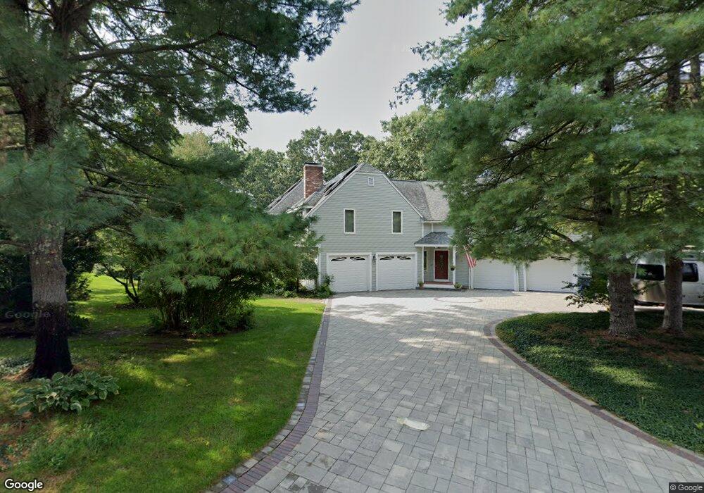
2 Rockwood Rd Medway, MA 02053
Estimated Value: $1,154,000 - $1,613,000
4
Beds
3
Baths
5,602
Sq Ft
$247/Sq Ft
Est. Value
About This Home
This home is located at 2 Rockwood Rd, Medway, MA 02053 and is currently estimated at $1,385,240, approximately $247 per square foot. 2 Rockwood Rd is a home located in Norfolk County with nearby schools including John D. McGovern Elementary School, Burke-Memorial Elementary, and Medway Middle School.
Ownership History
Date
Name
Owned For
Owner Type
Purchase Details
Closed on
Apr 24, 2020
Sold by
Hofer Mark A and Hofer Lauren J
Bought by
Lauren J Hofer Lt
Current Estimated Value
Purchase Details
Closed on
Sep 25, 1987
Sold by
Griffiths Joseph W
Bought by
Hofer Mark A
Home Financials for this Owner
Home Financials are based on the most recent Mortgage that was taken out on this home.
Original Mortgage
$225,000
Interest Rate
10.37%
Mortgage Type
Purchase Money Mortgage
Create a Home Valuation Report for This Property
The Home Valuation Report is an in-depth analysis detailing your home's value as well as a comparison with similar homes in the area
Home Values in the Area
Average Home Value in this Area
Purchase History
| Date | Buyer | Sale Price | Title Company |
|---|---|---|---|
| Lauren J Hofer Lt | -- | None Available | |
| Hofer Mark A | $349,900 | -- |
Source: Public Records
Mortgage History
| Date | Status | Borrower | Loan Amount |
|---|---|---|---|
| Previous Owner | Hofer Mark A | $165,000 | |
| Previous Owner | Hofer Mark A | $180,000 | |
| Previous Owner | Hofer Mark A | $225,000 |
Source: Public Records
Tax History Compared to Growth
Tax History
| Year | Tax Paid | Tax Assessment Tax Assessment Total Assessment is a certain percentage of the fair market value that is determined by local assessors to be the total taxable value of land and additions on the property. | Land | Improvement |
|---|---|---|---|---|
| 2025 | $16,774 | $1,177,100 | $375,100 | $802,000 |
| 2024 | $16,950 | $1,177,100 | $375,100 | $802,000 |
| 2023 | $15,615 | $979,600 | $314,100 | $665,500 |
| 2022 | $14,416 | $851,500 | $229,200 | $622,300 |
| 2021 | $14,237 | $815,400 | $213,900 | $601,500 |
| 2020 | $14,070 | $804,000 | $213,900 | $590,100 |
| 2019 | $13,423 | $791,000 | $205,200 | $585,800 |
| 2018 | $13,791 | $780,900 | $205,200 | $575,700 |
| 2017 | $13,519 | $754,400 | $207,400 | $547,000 |
| 2016 | $13,916 | $768,400 | $218,300 | $550,100 |
| 2015 | $13,837 | $758,600 | $218,300 | $540,300 |
| 2014 | $13,422 | $712,400 | $216,500 | $495,900 |
Source: Public Records
Map
Nearby Homes
- 85 Fisher St
- 78 Fisher St
- 4 Deerfield Rd
- 6 Rainbow Dr
- 22 Granite St
- 9 Tulip Way
- 39 West St
- 6 Freedom Trail
- 190-194 E Main St
- 12 Longmeadow Ln
- 56 Paul Rd
- 5 Fales St
- 462 Hartford Ave
- 0 Old Log Lane (Farm St) Unit 73416329
- 220 Main St Unit 220
- 455 Hartford Ave
- 176 Main St Unit 3
- 4 E Charles St
- 11 Black Bear Unit 11
- 9 Black Bear Cir Unit 9
- 2 Rockwood Rd Unit L1
- 4 Rockwood Rd
- 4 Lot 4a Rockwood
- 82 Fisher St
- 5 Ledgewood Rd Pvrm
- 84 Fisher St
- 1 Ledgewood Rd
- 80 Fisher St
- 2 Ledgewood Rd
- 86 Fisher St
- 5 Rockwood Rd
- 3 Ledgewood Rd
- 6 Rockwood Rd
- 6 Rockwood Rd Unit L3
- 77 Fisher St
- 4 Ledgewood Rd
- 5 Ledgewood Rd
- 75 Fisher St
- 87 Fisher St
- 7 Rockwood Rd