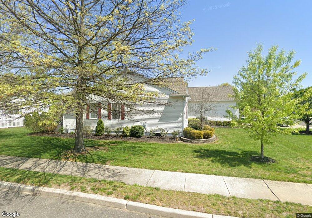
2 Roslyn Dr Delran, NJ 08075
Estimated Value: $425,226 - $471,000
Studio
--
Bath
1,634
Sq Ft
$280/Sq Ft
Est. Value
About This Home
This home is located at 2 Roslyn Dr, Delran, NJ 08075 and is currently estimated at $458,307, approximately $280 per square foot. 2 Roslyn Dr is a home located in Burlington County with nearby schools including Millbridge Elementary School, Delran Intermediate School, and Delran Middle School.
Ownership History
Date
Name
Owned For
Owner Type
Purchase Details
Closed on
Sep 16, 2025
Sold by
Clark Donald R
Bought by
Clark Michael E
Current Estimated Value
Purchase Details
Closed on
Apr 20, 2005
Sold by
Brandenburg Arthur P
Bought by
Clark Donald R
Home Financials for this Owner
Home Financials are based on the most recent Mortgage that was taken out on this home.
Original Mortgage
$240,000
Interest Rate
5.46%
Mortgage Type
Fannie Mae Freddie Mac
Purchase Details
Closed on
Oct 22, 1999
Sold by
Group Ten Builders Inc
Bought by
Brandenburg Arthur P and Brandenburg Eileen C
Home Financials for this Owner
Home Financials are based on the most recent Mortgage that was taken out on this home.
Original Mortgage
$124,000
Interest Rate
7.73%
Create a Home Valuation Report for This Property
The Home Valuation Report is an in-depth analysis detailing your home's value as well as a comparison with similar homes in the area
Home Values in the Area
Average Home Value in this Area
Purchase History
| Date | Buyer | Sale Price | Title Company |
|---|---|---|---|
| Clark Michael E | $100,000 | None Listed On Document | |
| Clark Donald R | $300,000 | Congress Title Corp | |
| Brandenburg Arthur P | $156,175 | Congress Title Corp |
Source: Public Records
Mortgage History
| Date | Status | Borrower | Loan Amount |
|---|---|---|---|
| Previous Owner | Clark Donald R | $240,000 | |
| Previous Owner | Brandenburg Arthur P | $124,000 |
Source: Public Records
Tax History
| Year | Tax Paid | Tax Assessment Tax Assessment Total Assessment is a certain percentage of the fair market value that is determined by local assessors to be the total taxable value of land and additions on the property. | Land | Improvement |
|---|---|---|---|---|
| 2025 | $9,658 | $242,900 | $56,000 | $186,900 |
| 2024 | $9,570 | $242,900 | $56,000 | $186,900 |
| 2023 | $9,570 | $242,900 | $56,000 | $186,900 |
| 2022 | $9,446 | $242,900 | $56,000 | $186,900 |
| 2021 | $8,778 | $242,900 | $56,000 | $186,900 |
| 2020 | $9,432 | $242,900 | $56,000 | $186,900 |
| 2019 | $9,344 | $242,900 | $56,000 | $186,900 |
| 2018 | $9,189 | $242,900 | $56,000 | $186,900 |
| 2017 | $9,043 | $242,900 | $56,000 | $186,900 |
| 2016 | $8,910 | $242,900 | $56,000 | $186,900 |
| 2015 | $8,761 | $242,900 | $56,000 | $186,900 |
| 2014 | $8,380 | $242,900 | $56,000 | $186,900 |
Source: Public Records
Map
Nearby Homes
- 3105 Bridgeboro Rd
- 144 Natalie Rd
- 148 Natalie Rd Unit 148
- 342 Huntington Dr Unit 342
- 0 0 Swarthmore Dr
- 10 Yansick Dr
- 1 Echo Ave
- 3 Dewberry Ln
- 203 Congressional Ct
- 19 Foxglove Dr Unit 19
- 27 Foxglove Dr Unit 27
- 3 Aster Ct
- 44 Foxglove Dr Unit CO44
- 23 Lehigh Dr
- 213 Swedes Run Dr
- 265 Rosebay Ct Unit 265
- 88 Foxglove Dr Unit 88
- 4304 Bridgeboro Rd
- 115 Haines Mill Rd
- 123 Shelly Ln
Your Personal Tour Guide
Ask me questions while you tour the home.