Estimated Value: $544,000 - $602,000
3
Beds
3
Baths
1,678
Sq Ft
$345/Sq Ft
Est. Value
About This Home
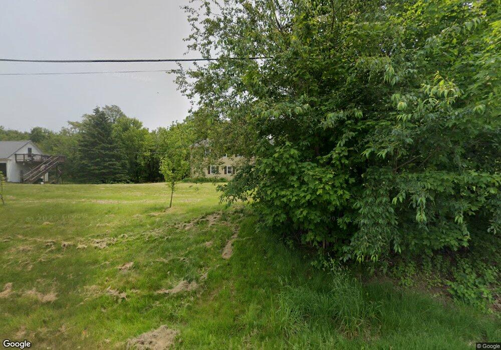
This home is located at 2 S Range Rd, Derry, NH 03038 and is currently estimated at $578,820, approximately $344 per square foot. 2 S Range Rd is a home located in Rockingham County with nearby schools including South Range Elementary School, West Running Brook Middle School, and Pinkerton Academy.
Ownership History
Date
Name
Owned For
Owner Type
Purchase Details
Closed on
Nov 1, 2023
Sold by
Hamilton Ronald
Bought by
Hamilton Ronald and Hamilton Michelle
Current Estimated Value
Purchase Details
Closed on
Jul 27, 1998
Sold by
Thibodeau William A and Thibodeau Margaret M
Bought by
Bennett Steven G
Home Financials for this Owner
Home Financials are based on the most recent Mortgage that was taken out on this home.
Original Mortgage
$45,600
Interest Rate
6.99%
Mortgage Type
Purchase Money Mortgage
Create a Home Valuation Report for This Property
The Home Valuation Report is an in-depth analysis detailing your home's value as well as a comparison with similar homes in the area
Home Values in the Area
Average Home Value in this Area
Purchase History
| Date | Buyer | Sale Price | Title Company |
|---|---|---|---|
| Hamilton Ronald | -- | None Available | |
| Bennett Steven G | $57,000 | -- |
Source: Public Records
Mortgage History
| Date | Status | Borrower | Loan Amount |
|---|---|---|---|
| Previous Owner | Bennett Steven G | $136,000 | |
| Previous Owner | Bennett Steven G | $124,000 | |
| Previous Owner | Bennett Steven G | $131,000 | |
| Previous Owner | Bennett Steven G | $45,600 |
Source: Public Records
Tax History
| Year | Tax Paid | Tax Assessment Tax Assessment Total Assessment is a certain percentage of the fair market value that is determined by local assessors to be the total taxable value of land and additions on the property. | Land | Improvement |
|---|---|---|---|---|
| 2025 | $10,300 | $542,400 | $248,500 | $293,900 |
| 2024 | $10,137 | $542,400 | $248,500 | $293,900 |
| 2023 | $9,289 | $449,200 | $211,200 | $238,000 |
| 2022 | $8,553 | $449,200 | $211,200 | $238,000 |
| 2021 | $8,792 | $355,100 | $165,100 | $190,000 |
| 2020 | $8,643 | $355,100 | $165,100 | $190,000 |
| 2019 | $4,123 | $288,700 | $116,000 | $172,700 |
| 2018 | $7,512 | $288,600 | $116,000 | $172,600 |
| 2017 | $3,876 | $258,300 | $111,000 | $147,300 |
| 2016 | $6,990 | $258,300 | $111,000 | $147,300 |
| 2015 | $7,042 | $240,900 | $111,000 | $129,900 |
| 2014 | $7,087 | $240,900 | $111,000 | $129,900 |
| 2013 | $7,041 | $223,600 | $109,000 | $114,600 |
Source: Public Records
Map
Nearby Homes
- 21 Berry Rd
- 6 Homestead Dr
- 56 Bedard Ave
- 51 Bedard Ave
- 139 Rockingham Rd Unit 21
- 17 Tyler Rd
- 18 Gervaise Dr
- 144 Rockingham Rd
- 15 Windham Depot Rd Unit 37
- 43 Lampton Dr
- 52 Windham Depot Rd
- 8 Blueberry Rd Unit U: R
- 16 Towne Dr
- 5 Stone Fence Dr
- 12R Brian Ave Unit R
- 11 Phillip Rd Unit R
- 4 Westview Dr
- 89 Lane Rd
- 2 Brown Rd
- 3L Little John Ct Unit L
- 3 S Range Rd
- 11 Frost Rd
- 11 Frost Rd Unit L
- 2 Frost Rd
- 8 S Range Rd
- 32 Miltimore Rd
- 25 Miltimore Rd
- 7 S Range Rd
- 30 Miltimore Rd
- 5 Frost Rd
- 169 Rockingham Rd
- 23 Miltimore Rd
- 10 S Range Rd
- 6 Frost Rd Unit R
- 6 Frost Rd Unit L
- 2 1/2 Lawrence Rd
- 20 Craven Terrace
- 3 Frost Rd
- 15 Craven Terrace
- 2 Lawrence Rd
Your Personal Tour Guide
Ask me questions while you tour the home.