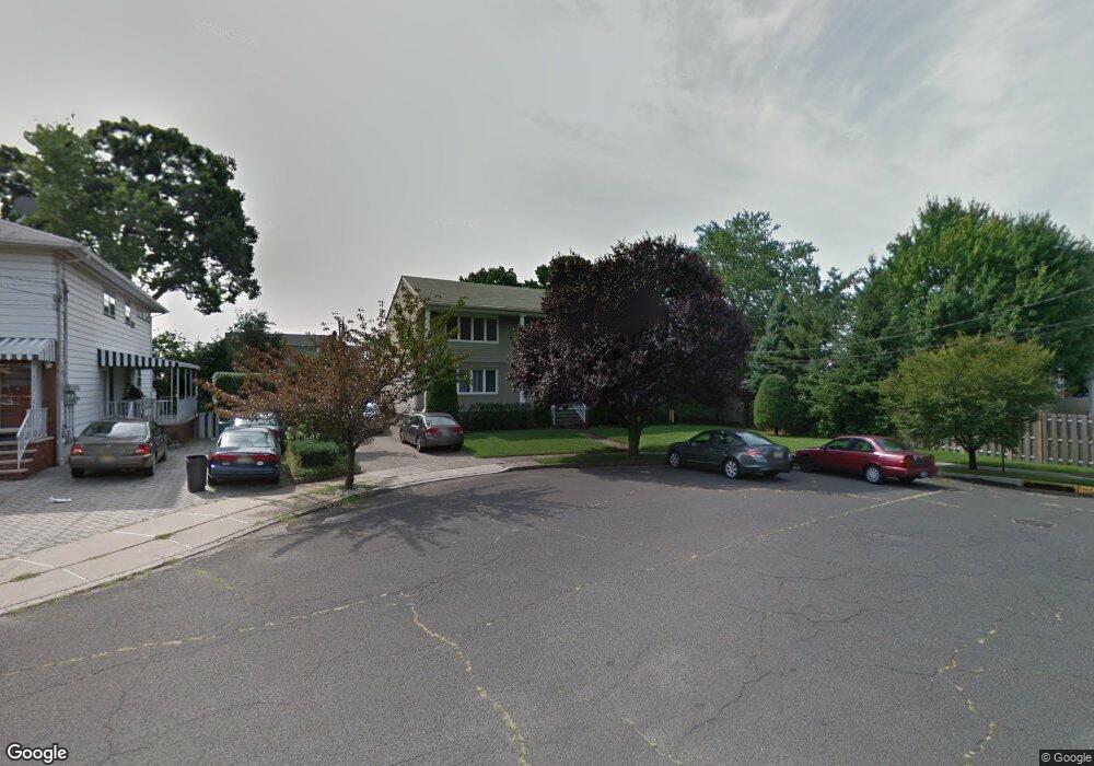
2 Sabo Ct Elmwood Park, NJ 07407
Estimated Value: $798,564 - $940,000
--
Bed
--
Bath
2,916
Sq Ft
$306/Sq Ft
Est. Value
About This Home
This home is located at 2 Sabo Ct, Elmwood Park, NJ 07407 and is currently estimated at $893,141, approximately $306 per square foot. 2 Sabo Ct is a home located in Bergen County with nearby schools including Sixteenth Avenue Elementary School, Elmwood Park Middle School, and Memorial Sr High School.
Ownership History
Date
Name
Owned For
Owner Type
Purchase Details
Closed on
Jun 23, 2021
Sold by
Brockson Pauline and Gaughran Renee M
Bought by
Brockson Pauline and Brockson Pauline
Current Estimated Value
Purchase Details
Closed on
Oct 26, 2016
Sold by
Brockson Pauline
Bought by
Brockson Pauline and Gaughran Renee M
Purchase Details
Closed on
Sep 15, 2016
Sold by
Nestory Susan
Bought by
Brockson Pauline
Purchase Details
Closed on
Jul 11, 2014
Sold by
Nestory George P and Nestory Margaret
Bought by
Brockson Pauline
Home Financials for this Owner
Home Financials are based on the most recent Mortgage that was taken out on this home.
Original Mortgage
$365,000
Interest Rate
4.18%
Mortgage Type
New Conventional
Create a Home Valuation Report for This Property
The Home Valuation Report is an in-depth analysis detailing your home's value as well as a comparison with similar homes in the area
Home Values in the Area
Average Home Value in this Area
Purchase History
| Date | Buyer | Sale Price | Title Company |
|---|---|---|---|
| Brockson Pauline | -- | Main Street Title | |
| Brockson Pauline | -- | Westcor Land Title Insurance | |
| Brockson Pauline | -- | Westcor Land Title Insurance | |
| Brockson Pauline | $470,000 | -- |
Source: Public Records
Mortgage History
| Date | Status | Borrower | Loan Amount |
|---|---|---|---|
| Previous Owner | Brockson Pauline | $365,000 |
Source: Public Records
Tax History Compared to Growth
Tax History
| Year | Tax Paid | Tax Assessment Tax Assessment Total Assessment is a certain percentage of the fair market value that is determined by local assessors to be the total taxable value of land and additions on the property. | Land | Improvement |
|---|---|---|---|---|
| 2025 | $13,412 | $437,000 | $233,700 | $203,300 |
| 2024 | $13,075 | $437,000 | $233,700 | $203,300 |
| 2023 | $13,162 | $437,000 | $233,700 | $203,300 |
| 2022 | $13,162 | $437,000 | $233,700 | $203,300 |
| 2021 | $9,942 | $437,000 | $233,700 | $203,300 |
| 2020 | $13,119 | $437,000 | $233,700 | $203,300 |
| 2019 | $12,896 | $437,000 | $233,700 | $203,300 |
| 2018 | $12,774 | $437,000 | $233,700 | $203,300 |
| 2017 | $12,625 | $437,000 | $233,700 | $203,300 |
| 2016 | $12,363 | $437,000 | $233,700 | $203,300 |
| 2015 | $12,162 | $437,000 | $233,700 | $203,300 |
| 2014 | $11,545 | $437,000 | $233,700 | $203,300 |
Source: Public Records
Map
Nearby Homes