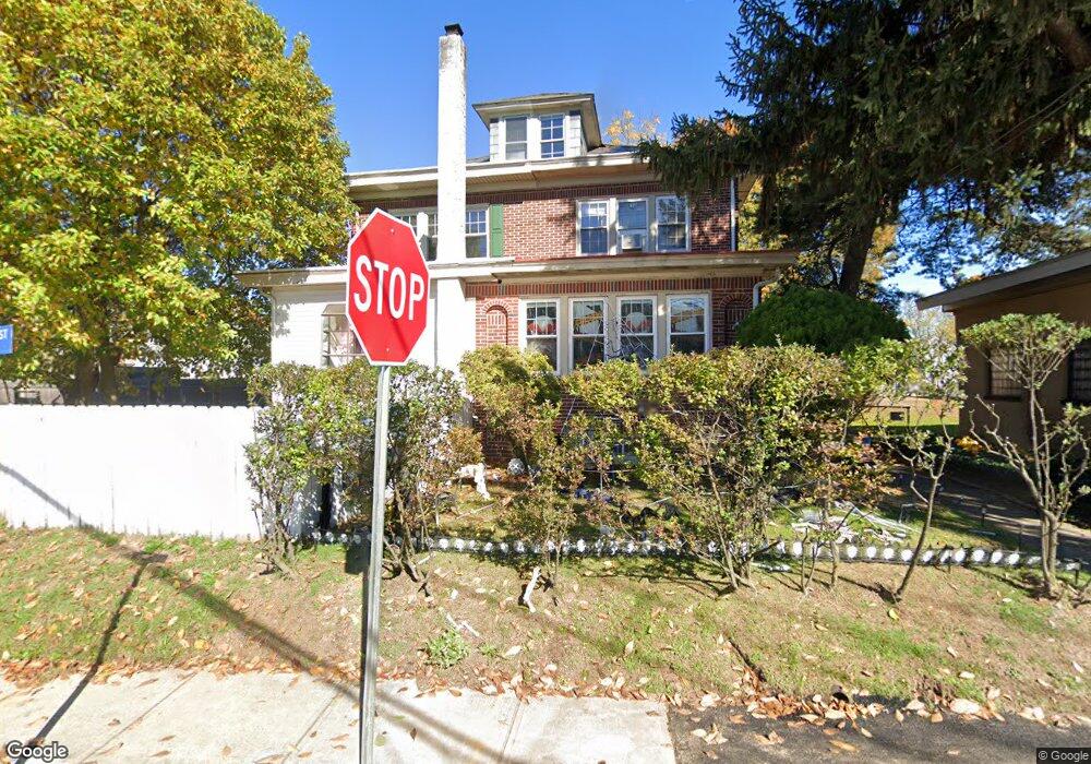
2 Sallie St Trenton, NJ 08610
Estimated Value: $330,690 - $390,000
--
Bed
--
Bath
2,032
Sq Ft
$177/Sq Ft
Est. Value
About This Home
This home is located at 2 Sallie St, Trenton, NJ 08610 and is currently estimated at $358,923, approximately $176 per square foot. 2 Sallie St is a home located in Mercer County with nearby schools including George E. Wilson Elementary School, Albert E. Grice Middle School, and Hamilton West-Watson High School.
Ownership History
Date
Name
Owned For
Owner Type
Purchase Details
Closed on
Jul 11, 2012
Sold by
Lane Richard A
Bought by
Lane Jerry R
Current Estimated Value
Purchase Details
Closed on
Sep 18, 2000
Sold by
Malkin Robert
Bought by
Mitchell Deborah and Mitchell Lucy
Home Financials for this Owner
Home Financials are based on the most recent Mortgage that was taken out on this home.
Original Mortgage
$109,918
Outstanding Balance
$39,777
Interest Rate
8%
Mortgage Type
FHA
Estimated Equity
$319,146
Purchase Details
Closed on
Jul 25, 1995
Sold by
Mihalik Michael
Bought by
Malkin Robert and Cook Cynthia
Home Financials for this Owner
Home Financials are based on the most recent Mortgage that was taken out on this home.
Original Mortgage
$74,000
Interest Rate
7.56%
Mortgage Type
Purchase Money Mortgage
Create a Home Valuation Report for This Property
The Home Valuation Report is an in-depth analysis detailing your home's value as well as a comparison with similar homes in the area
Home Values in the Area
Average Home Value in this Area
Purchase History
| Date | Buyer | Sale Price | Title Company |
|---|---|---|---|
| Lane Jerry R | -- | None Available | |
| Mitchell Deborah | $110,000 | -- | |
| Malkin Robert | $92,500 | -- |
Source: Public Records
Mortgage History
| Date | Status | Borrower | Loan Amount |
|---|---|---|---|
| Open | Mitchell Deborah | $109,918 | |
| Previous Owner | Malkin Robert | $74,000 |
Source: Public Records
Tax History Compared to Growth
Tax History
| Year | Tax Paid | Tax Assessment Tax Assessment Total Assessment is a certain percentage of the fair market value that is determined by local assessors to be the total taxable value of land and additions on the property. | Land | Improvement |
|---|---|---|---|---|
| 2025 | $5,032 | $142,800 | $35,000 | $107,800 |
| 2024 | $4,717 | $142,800 | $35,000 | $107,800 |
| 2023 | $4,717 | $142,800 | $35,000 | $107,800 |
| 2022 | $4,642 | $142,800 | $35,000 | $107,800 |
| 2021 | $5,745 | $142,800 | $35,000 | $107,800 |
| 2020 | $5,231 | $142,800 | $35,000 | $107,800 |
| 2019 | $5,077 | $142,800 | $35,000 | $107,800 |
| 2018 | $5,009 | $142,800 | $35,000 | $107,800 |
| 2017 | $4,787 | $142,800 | $35,000 | $107,800 |
| 2016 | $3,861 | $142,800 | $35,000 | $107,800 |
| 2015 | $5,407 | $103,800 | $14,600 | $89,200 |
| 2014 | $5,336 | $103,800 | $14,600 | $89,200 |
Source: Public Records
Map
Nearby Homes
- 724 William St
- 314 Joseph St
- 2025 S Clinton Ave
- 21 Berg Ave
- 1816 Chambers St
- 801 Cedar Ln
- 1012 Franklin St
- 229 Parkinson Ave
- 238 Grand Ave
- 229 Wilfred Ave
- 235 Wilfred Ave
- 27 Annabelle Ave
- 718 E Howell St
- 254 Howell St
- 1856 S Broad St
- 34 Sewell Ave
- 323 Wilfred Ave
- 1622 S Clinton Ave
- 1857 S Broad St
- 207 Howell St