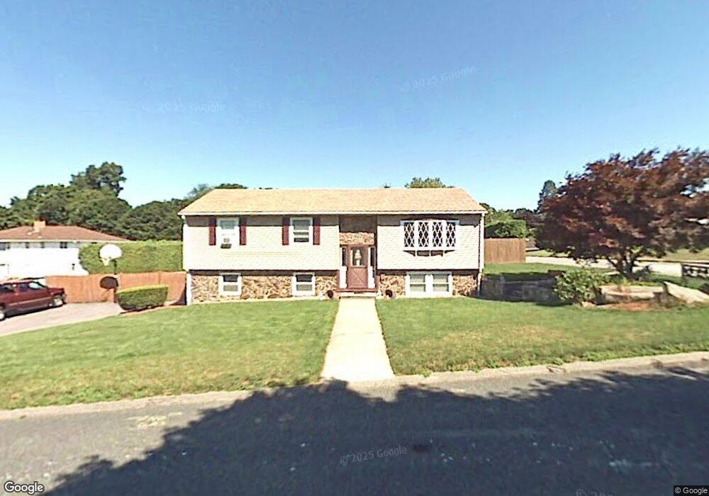
2 Sandra Dr Worcester, MA 01604
Broadmeadow Brook NeighborhoodEstimated Value: $439,000 - $475,000
4
Beds
2
Baths
1,098
Sq Ft
$419/Sq Ft
Est. Value
About This Home
This home is located at 2 Sandra Dr, Worcester, MA 01604 and is currently estimated at $459,944, approximately $418 per square foot. 2 Sandra Dr is a home located in Worcester County with nearby schools including Jacob Hiatt Magnet School, Chandler Magnet, and Rice Square Elementary School.
Ownership History
Date
Name
Owned For
Owner Type
Purchase Details
Closed on
Aug 1, 2000
Sold by
Durkin Paul J and Durkin Amanda L
Bought by
Brown Ronald K and Brown Tracy A
Current Estimated Value
Purchase Details
Closed on
Jul 28, 1995
Sold by
Simone Dolores
Bought by
Durkin Paul J and Durkin Amanda
Create a Home Valuation Report for This Property
The Home Valuation Report is an in-depth analysis detailing your home's value as well as a comparison with similar homes in the area
Home Values in the Area
Average Home Value in this Area
Purchase History
| Date | Buyer | Sale Price | Title Company |
|---|---|---|---|
| Brown Ronald K | $159,900 | -- | |
| Durkin Paul J | $117,000 | -- |
Source: Public Records
Mortgage History
| Date | Status | Borrower | Loan Amount |
|---|---|---|---|
| Open | Durkin Paul J | $183,000 | |
| Closed | Durkin Paul J | $167,000 | |
| Closed | Durkin Paul J | $158,400 | |
| Closed | Durkin Paul J | $128,000 |
Source: Public Records
Tax History
| Year | Tax Paid | Tax Assessment Tax Assessment Total Assessment is a certain percentage of the fair market value that is determined by local assessors to be the total taxable value of land and additions on the property. | Land | Improvement |
|---|---|---|---|---|
| 2025 | $5,521 | $418,600 | $118,700 | $299,900 |
| 2024 | $5,471 | $397,900 | $118,700 | $279,200 |
| 2023 | $5,334 | $372,000 | $103,200 | $268,800 |
| 2022 | $4,624 | $304,000 | $82,600 | $221,400 |
| 2021 | $4,563 | $280,300 | $66,100 | $214,200 |
| 2020 | $4,359 | $256,400 | $66,100 | $190,300 |
| 2019 | $4,252 | $236,200 | $59,500 | $176,700 |
| 2018 | $4,276 | $226,100 | $59,500 | $166,600 |
| 2017 | $4,096 | $213,100 | $59,500 | $153,600 |
| 2016 | $4,042 | $196,100 | $43,800 | $152,300 |
| 2015 | $3,936 | $196,100 | $43,800 | $152,300 |
| 2014 | $3,832 | $196,100 | $43,800 | $152,300 |
Source: Public Records
Map
Nearby Homes
- 3 Julien Ave
- 9 Marissa Cir
- 266 Massasoit Rd
- 182 Weatherstone Dr
- 259 Massasoit Rd
- 256 Massasoit Rd
- 25 Stoneham Rd
- 53 Denver Terrace
- 7 Clarissa St
- 1195 Grafton St Unit 29
- 1195 Grafton St Unit 39
- 6 Nathaniel St
- 300 Millbury Ave
- 8 Nightview Place
- 464-466 Granite St
- 460-462 Granite St
- 460-466 Granite St
- 7 Barbara St
- 62 Allston Ave
- 12 Irene Ct
Your Personal Tour Guide
Ask me questions while you tour the home.