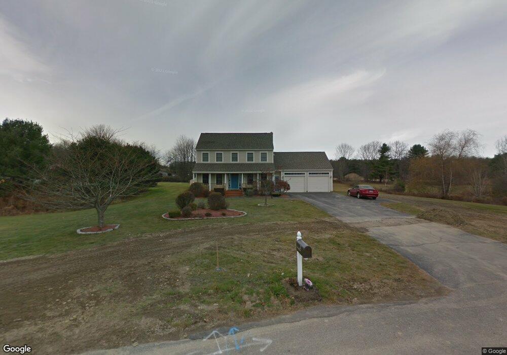
2 Saratoga Ln Scarborough, ME 04074
Estimated Value: $721,564 - $841,000
3
Beds
3
Baths
1,914
Sq Ft
$407/Sq Ft
Est. Value
About This Home
This home is located at 2 Saratoga Ln, Scarborough, ME 04074 and is currently estimated at $778,641, approximately $406 per square foot. 2 Saratoga Ln is a home located in Cumberland County with nearby schools including Scarborough High School and Cornerstone Baptist Academy.
Ownership History
Date
Name
Owned For
Owner Type
Purchase Details
Closed on
Jul 6, 2017
Sold by
Giftos Sotero P and Giftos Alicia C
Bought by
Cabral Linda A and Cabral Edward J
Current Estimated Value
Purchase Details
Closed on
Aug 18, 2005
Sold by
Basile Jon P and Basile Vickie M
Bought by
Giftos Sotero P and Giftos Alicia C
Home Financials for this Owner
Home Financials are based on the most recent Mortgage that was taken out on this home.
Original Mortgage
$263,200
Interest Rate
5.66%
Mortgage Type
Commercial
Create a Home Valuation Report for This Property
The Home Valuation Report is an in-depth analysis detailing your home's value as well as a comparison with similar homes in the area
Home Values in the Area
Average Home Value in this Area
Purchase History
| Date | Buyer | Sale Price | Title Company |
|---|---|---|---|
| Cabral Linda A | -- | -- | |
| Giftos Sotero P | -- | -- |
Source: Public Records
Mortgage History
| Date | Status | Borrower | Loan Amount |
|---|---|---|---|
| Previous Owner | Giftos Sotero P | $263,200 |
Source: Public Records
Tax History Compared to Growth
Tax History
| Year | Tax Paid | Tax Assessment Tax Assessment Total Assessment is a certain percentage of the fair market value that is determined by local assessors to be the total taxable value of land and additions on the property. | Land | Improvement |
|---|---|---|---|---|
| 2024 | $7,353 | $672,700 | $236,900 | $435,800 |
| 2023 | $6,944 | $434,800 | $159,100 | $275,700 |
| 2022 | $6,324 | $410,900 | $159,100 | $251,800 |
| 2021 | $6,053 | $403,000 | $159,100 | $243,900 |
| 2020 | $5,989 | $403,000 | $159,100 | $243,900 |
| 2019 | $5,924 | $403,000 | $159,100 | $243,900 |
| 2017 | $5,158 | $312,800 | $121,800 | $191,000 |
| 2016 | $4,980 | $312,800 | $121,800 | $191,000 |
| 2015 | $4,876 | $314,800 | $123,800 | $191,000 |
| 2014 | $4,753 | $314,800 | $123,800 | $191,000 |
| 2013 | -- | $314,800 | $123,800 | $191,000 |
Source: Public Records
Map
Nearby Homes
- 91 B Broadturn Rd
- 96C Broadturn Rd
- 90 Broadturn Rd Unit 9
- 149 Stewart Dr
- 153 Stewart Dr
- 159 Stewart Dr
- 192 Stewart Dr
- 19 Paulsen Dr
- 9 Paulsen Dr
- 1 Griffin Rd
- 626 Us Route 1
- 10 Foxwell Dr
- 6 Rose Hill Way
- 31 Old Blue Point Rd
- Lot 5 Jean's Way
- 0 W Beech Ridge Rd
- 4 Lodge Dr
- 994 Portland Rd Unit 14
- 994 Portland Rd Unit 4
- 79 Creeks Edge Dr
- 67 Broadturn Rd
- 71 Broadturn Rd
- 4 Saratoga Ln
- 65 Broadturn Rd
- 63 Broadturn Rd
- 1 Saratoga Ln
- 39 Carpenter Ct
- 14 Carpenter Ct
- 6 Saratoga Ln
- 19 Carpenter Ct
- 34 Carpenter Ct
- 21 Carpenter Ct
- 74 Broadturn Rd
- 1 Colby Dr
- 3 Colby Dr
- 23 Carpenter Ct
- 33 Carpenter Ct
- 5 Colby Dr
- 5 Colby Dr Unit 5
- 31 Carpenter Ct