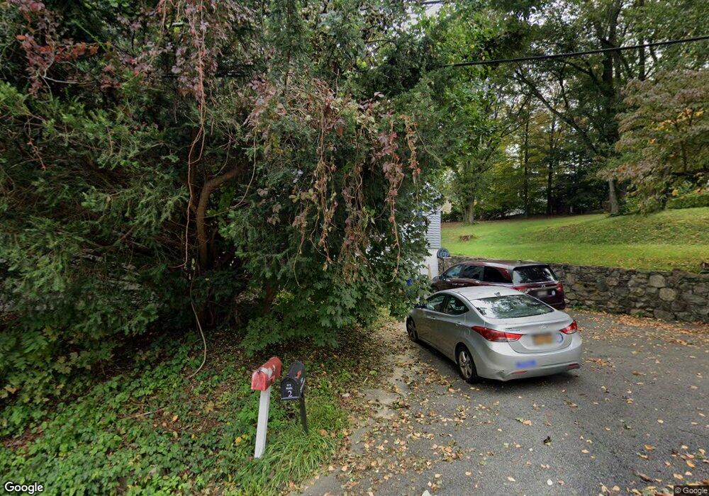
2 School St Cortlandt Manor, NY 10567
Estimated Value: $436,000 - $610,000
3
Beds
2
Baths
1,251
Sq Ft
$411/Sq Ft
Est. Value
About This Home
This home is located at 2 School St, Cortlandt Manor, NY 10567 and is currently estimated at $514,162, approximately $411 per square foot. 2 School St is a home located in Westchester County with nearby schools including Putnam Valley Elementary School, Putnam Valley Middle School, and Putnam Valley High School.
Ownership History
Date
Name
Owned For
Owner Type
Purchase Details
Closed on
Sep 9, 2009
Sold by
Young Peter
Bought by
Riley Sean J and Riley Michelle
Current Estimated Value
Home Financials for this Owner
Home Financials are based on the most recent Mortgage that was taken out on this home.
Original Mortgage
$204,300
Interest Rate
5.31%
Mortgage Type
New Conventional
Purchase Details
Closed on
Sep 15, 2006
Sold by
Young Peter R
Bought by
Young Peter R and Young Dorothy
Purchase Details
Closed on
Sep 30, 1997
Sold by
Young Dorothy
Bought by
Young Peter R
Create a Home Valuation Report for This Property
The Home Valuation Report is an in-depth analysis detailing your home's value as well as a comparison with similar homes in the area
Home Values in the Area
Average Home Value in this Area
Purchase History
| Date | Buyer | Sale Price | Title Company |
|---|---|---|---|
| Riley Sean J | $227,000 | None Available | |
| Young Peter R | -- | None Available | |
| Young Peter R | -- | Chicago Title Insurance Co |
Source: Public Records
Mortgage History
| Date | Status | Borrower | Loan Amount |
|---|---|---|---|
| Previous Owner | Riley Sean J | $204,300 |
Source: Public Records
Tax History Compared to Growth
Tax History
| Year | Tax Paid | Tax Assessment Tax Assessment Total Assessment is a certain percentage of the fair market value that is determined by local assessors to be the total taxable value of land and additions on the property. | Land | Improvement |
|---|---|---|---|---|
| 2024 | $12,067 | $5,775 | $725 | $5,050 |
| 2023 | $11,254 | $5,775 | $725 | $5,050 |
| 2022 | $10,867 | $5,775 | $725 | $5,050 |
| 2021 | $10,673 | $5,775 | $725 | $5,050 |
| 2020 | $10,819 | $5,775 | $725 | $5,050 |
| 2019 | $3,135 | $5,775 | $725 | $5,050 |
| 2018 | $10,179 | $5,775 | $725 | $5,050 |
| 2017 | $6,397 | $5,775 | $725 | $5,050 |
| 2016 | $3,024 | $5,775 | $725 | $5,050 |
| 2015 | -- | $5,775 | $725 | $5,050 |
| 2014 | -- | $5,775 | $725 | $5,050 |
| 2013 | -- | $5,775 | $725 | $5,050 |
Source: Public Records
Map
Nearby Homes
- 0 Sherwood Rd Unit KEY936479
- 0 Sherwood Rd Unit KEY936474
- 14 Pine St
- 30 Trolley Rd
- 27 Spruce St
- 44 Johnson St
- 5 Spruce St
- 2 Merion Ct
- 150 Walnut Rd
- Lot 3 Maple Rd
- 53 Wild Birch Farms Unit 53
- 63 Wild Birch Farms
- 33 Hollowbrook Ct N
- 52 Winthrop Dr
- 56 Aqueduct Rd
- 562 Westbrook Dr
- 1061 Oregon Rd
- 0 Pleasant Rd Unit KEY933269
- TBD Sky Ln
- 31 Ridgecrest Rd