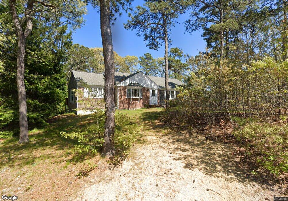
2 Scoop Cir Yarmouth Port, MA 02675
Yarmouth Port NeighborhoodEstimated Value: $558,000 - $730,000
3
Beds
2
Baths
1,501
Sq Ft
$426/Sq Ft
Est. Value
About This Home
This home is located at 2 Scoop Cir, Yarmouth Port, MA 02675 and is currently estimated at $639,731, approximately $426 per square foot. 2 Scoop Cir is a home located in Barnstable County with nearby schools including Dennis-Yarmouth Regional High School, St. Pius X. School, and Trinity Christian Academy of Cape Cod.
Ownership History
Date
Name
Owned For
Owner Type
Purchase Details
Closed on
Apr 16, 2002
Sold by
Ansel William F
Bought by
Grossman David A and Grossman Robin F
Current Estimated Value
Home Financials for this Owner
Home Financials are based on the most recent Mortgage that was taken out on this home.
Original Mortgage
$177,600
Outstanding Balance
$73,781
Interest Rate
6.84%
Mortgage Type
Purchase Money Mortgage
Estimated Equity
$565,950
Purchase Details
Closed on
Jun 1, 1999
Sold by
Est Heberlig C Richard and Cassel Kenneth
Bought by
Ansell William F
Home Financials for this Owner
Home Financials are based on the most recent Mortgage that was taken out on this home.
Original Mortgage
$126,800
Interest Rate
6.82%
Mortgage Type
Purchase Money Mortgage
Create a Home Valuation Report for This Property
The Home Valuation Report is an in-depth analysis detailing your home's value as well as a comparison with similar homes in the area
Home Values in the Area
Average Home Value in this Area
Purchase History
| Date | Buyer | Sale Price | Title Company |
|---|---|---|---|
| Grossman David A | $220,000 | -- | |
| Ansell William F | $133,500 | -- |
Source: Public Records
Mortgage History
| Date | Status | Borrower | Loan Amount |
|---|---|---|---|
| Open | Ansell William F | $27,500 | |
| Open | Ansell William F | $177,600 | |
| Previous Owner | Ansell William F | $126,800 |
Source: Public Records
Tax History Compared to Growth
Tax History
| Year | Tax Paid | Tax Assessment Tax Assessment Total Assessment is a certain percentage of the fair market value that is determined by local assessors to be the total taxable value of land and additions on the property. | Land | Improvement |
|---|---|---|---|---|
| 2025 | $4,295 | $606,700 | $191,300 | $415,400 |
| 2024 | $3,914 | $530,400 | $149,000 | $381,400 |
| 2023 | $3,805 | $469,200 | $131,500 | $337,700 |
| 2022 | $3,560 | $387,800 | $119,500 | $268,300 |
| 2021 | $3,370 | $352,500 | $125,500 | $227,000 |
| 2020 | $3,350 | $335,000 | $132,800 | $202,200 |
| 2019 | $3,083 | $305,200 | $132,800 | $172,400 |
| 2018 | $2,912 | $283,000 | $110,600 | $172,400 |
| 2017 | $2,836 | $283,000 | $110,600 | $172,400 |
| 2016 | $2,737 | $274,200 | $101,800 | $172,400 |
| 2015 | $2,729 | $271,800 | $91,200 | $180,600 |
Source: Public Records
Map
Nearby Homes
- 882 W Yarmouth Rd
- 933-935 W Yarmouth Rd
- 34 Ridgewood Dr
- 209 Union St
- 32 Deveau Ln
- 24 Minnetuxet Way
- 10 Balsam Way
- 50 Cottonwood St
- 371 Route 6a
- 8 Rowley Ln
- 23 Dauphine Dr
- 1 Barnacle Rd
- 16 Warren Rd Unit 16
- 16 Warren Rd
- 607 W Yarmouth Rd
- 17 Trowbridge Path
- 86 Pompano Rd
- 186 Route 6a
- 105 Old Hyannis Rd
- 25 Oak Glen
- 54 Shaker House Rd
- 6 Scoop Cir
- 68 Shaker House Rd
- 61 Shaker House Rd
- 57 Shaker House Rd
- 5 Scoop Cir
- 67 Shaker House Rd
- 103 Union St
- 49 Shaker House Rd
- 36 Skipper Ln
- 74 Shaker House Rd
- 30 Skipper Ln
- 42 Skipper Ln
- 48 Shaker House Rd
- 2 Early Red Berry Ln
- 24 Skipper Ln
- 2 Early Redberry Ln
- 6 Snap Picker Cir
- 46 Skipper Ln
- 117 Union St