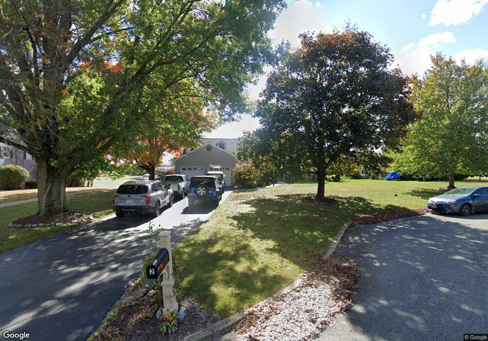
2 Shank Rd Milford, NJ 08848
Estimated Value: $526,378 - $634,000
--
Bed
--
Bath
2,448
Sq Ft
$235/Sq Ft
Est. Value
About This Home
This home is located at 2 Shank Rd, Milford, NJ 08848 and is currently estimated at $575,345, approximately $235 per square foot. 2 Shank Rd is a home located in Hunterdon County with nearby schools including Holland Township Elementary School and Delaware Valley Regional High School.
Ownership History
Date
Name
Owned For
Owner Type
Purchase Details
Closed on
Dec 15, 1995
Sold by
Epstein Samuel P and Epstein Susan K
Bought by
Brogan Robert L and Brogan Wendy S
Current Estimated Value
Home Financials for this Owner
Home Financials are based on the most recent Mortgage that was taken out on this home.
Original Mortgage
$168,000
Interest Rate
7.31%
Create a Home Valuation Report for This Property
The Home Valuation Report is an in-depth analysis detailing your home's value as well as a comparison with similar homes in the area
Home Values in the Area
Average Home Value in this Area
Purchase History
| Date | Buyer | Sale Price | Title Company |
|---|---|---|---|
| Brogan Robert L | $210,000 | -- |
Source: Public Records
Mortgage History
| Date | Status | Borrower | Loan Amount |
|---|---|---|---|
| Previous Owner | Brogan Robert L | $168,000 |
Source: Public Records
Tax History Compared to Growth
Tax History
| Year | Tax Paid | Tax Assessment Tax Assessment Total Assessment is a certain percentage of the fair market value that is determined by local assessors to be the total taxable value of land and additions on the property. | Land | Improvement |
|---|---|---|---|---|
| 2025 | $10,287 | $317,500 | $77,300 | $240,200 |
| 2024 | $9,947 | $317,500 | $77,300 | $240,200 |
| 2023 | $9,947 | $317,500 | $77,300 | $240,200 |
| 2022 | $9,706 | $317,500 | $77,300 | $240,200 |
| 2021 | $8,693 | $317,500 | $77,300 | $240,200 |
| 2020 | $9,096 | $317,500 | $77,300 | $240,200 |
| 2019 | $8,693 | $317,500 | $77,300 | $240,200 |
| 2018 | $8,363 | $317,500 | $77,300 | $240,200 |
| 2017 | $8,426 | $317,500 | $77,300 | $240,200 |
| 2016 | $8,217 | $317,500 | $77,300 | $240,200 |
| 2015 | $8,128 | $317,500 | $77,300 | $240,200 |
| 2014 | $7,839 | $317,500 | $77,300 | $240,200 |
Source: Public Records
Map
Nearby Homes
- 21 Church Rd
- 3 Fire Thorn Dr
- 316 Spring Garden Rd
- 98 Church Rd
- 901 Fox Hill Place
- 3 Winding Way
- 370 Spring Mills-Lt Yk Rd
- 4A Deer Ct
- 288 Bellis Rd
- 169 York Rd
- 191 Miller Park Rd
- 11 Paetzell Farm Ct
- 9 Deer Path
- 9 Paetzell Farm Ct
- 7 Paetzell Farm Ct
- 00 Sweet Hollow Rd
- 0 Sweet Hollow Rd
- 5 Paetzell Farm Ct
- 319 Sweet Hollow Rd
- 3 Paetzell Farm Ct
- 4 Shank Rd
- 1 Shank Rd
- 2 Hook Dr
- 3 Shank Rd
- 6 Shank Rd
- 4 Rolling Green Dr
- 6 Rolling Green Dr
- 739 Milford Warren Glen Rd
- 2 Rolling Green Dr
- 2 Crouse Rd
- 8 Shank Rd
- 1 Hook Dr
- 735 Milford Warren Glen Rd
- 733 Milford Warren Glen Rd
- 3 Hook Dr
- 761 Milford Warren Glen Rd
- 1 Gardner Way
- 5 Rolling Green Dr
- 1 Rolling Green Dr
- 5 Hook Dr