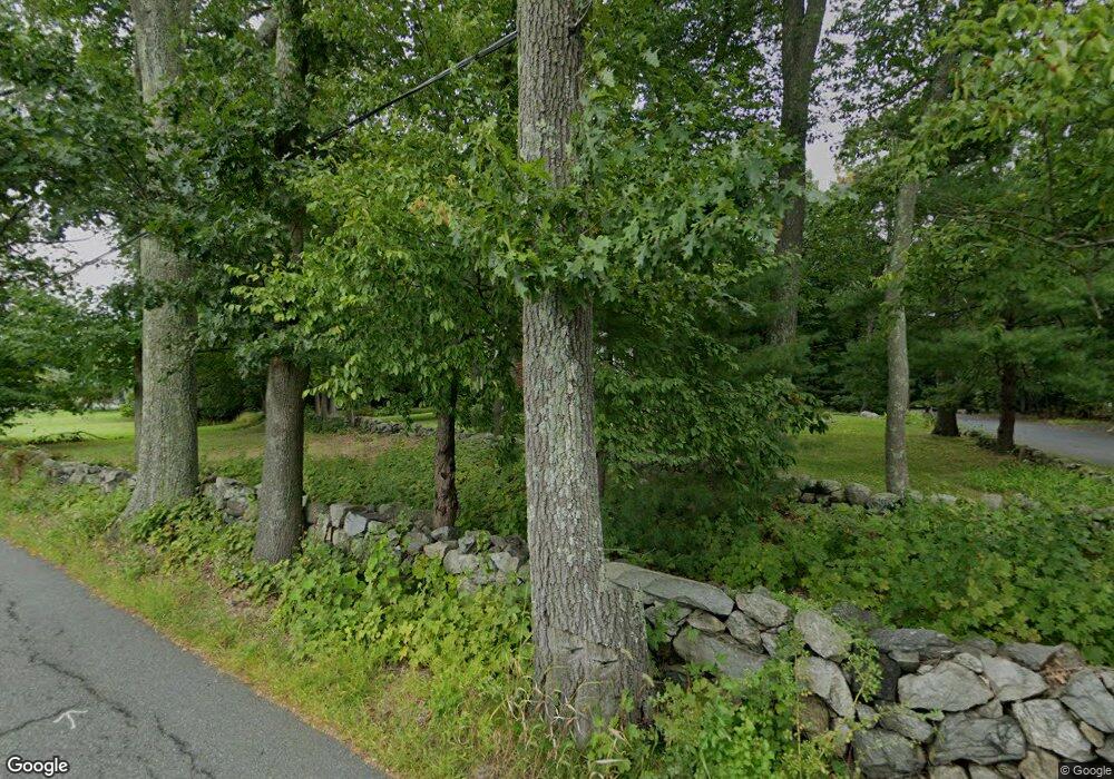
2 Simon Hapgood Ln Concord, MA 01742
Estimated Value: $1,158,256 - $1,700,000
5
Beds
3
Baths
2,332
Sq Ft
$629/Sq Ft
Est. Value
About This Home
This home is located at 2 Simon Hapgood Ln, Concord, MA 01742 and is currently estimated at $1,466,314, approximately $628 per square foot. 2 Simon Hapgood Ln is a home with nearby schools including Acton-Boxborough Regional High School, Nashoba Brooks School, and Middlesex School.
Ownership History
Date
Name
Owned For
Owner Type
Purchase Details
Closed on
Aug 29, 1997
Sold by
Sims Barbara E
Bought by
Gado James E and Adachi Janet K
Current Estimated Value
Home Financials for this Owner
Home Financials are based on the most recent Mortgage that was taken out on this home.
Original Mortgage
$200,000
Interest Rate
7.41%
Mortgage Type
Purchase Money Mortgage
Create a Home Valuation Report for This Property
The Home Valuation Report is an in-depth analysis detailing your home's value as well as a comparison with similar homes in the area
Home Values in the Area
Average Home Value in this Area
Purchase History
| Date | Buyer | Sale Price | Title Company |
|---|---|---|---|
| Gado James E | $420,000 | -- |
Source: Public Records
Mortgage History
| Date | Status | Borrower | Loan Amount |
|---|---|---|---|
| Open | Gado James E | $198,600 | |
| Closed | Gado James E | $200,000 | |
| Closed | Gado James E | $210,500 |
Source: Public Records
Tax History Compared to Growth
Tax History
| Year | Tax Paid | Tax Assessment Tax Assessment Total Assessment is a certain percentage of the fair market value that is determined by local assessors to be the total taxable value of land and additions on the property. | Land | Improvement |
|---|---|---|---|---|
| 2025 | $15,665 | $913,400 | $424,300 | $489,100 |
| 2024 | $14,716 | $882,800 | $424,300 | $458,500 |
| 2023 | $14,257 | $811,900 | $386,200 | $425,700 |
| 2022 | $13,518 | $695,000 | $335,800 | $359,200 |
| 2021 | $13,374 | $661,100 | $311,000 | $350,100 |
| 2020 | $12,625 | $656,200 | $311,000 | $345,200 |
| 2019 | $12,112 | $625,300 | $311,000 | $314,300 |
| 2018 | $11,928 | $615,500 | $311,000 | $304,500 |
| 2017 | $11,636 | $610,500 | $311,000 | $299,500 |
| 2016 | $11,607 | $603,600 | $311,000 | $292,600 |
| 2015 | $11,403 | $598,600 | $311,000 | $287,600 |
| 2014 | $11,098 | $570,600 | $311,000 | $259,600 |
Source: Public Records
Map
Nearby Homes
- 104 Channing Rd
- 19 Whippoorwill Ln
- 134 Pope Rd
- 56 Isaac Davis Rd
- 1 Bayberry Rd
- 1 Quarry Rd
- 709 Main St
- 388 Great Rd Unit B14
- 386 Great Rd Unit A8
- 524 Main St
- 495 Hugh Cargill Rd
- 79-81 Assabet Ave
- 390 Great Rd Unit B16
- 491 Main St
- 244 Musterfield Rd
- 159 Skyline Dr Unit 159
- 927 Main St
- 60 Lawsbrook Rd
- 875 Acton St
- 46 Taylor Rd
- 5 Simon Hapgood Ln
- 2 Simon Hapgood Ln
- 6 Simon Hapgood Ln
- 4 Simon Hapgood Ln
- 1 Simon Hapgood Ln
- 150 Strawberry Hill Rd
- 6 Simon Hapgood Ln
- 145 Strawberry Hill Rd
- 136 Strawberry Hill Rd
- 219 Pope Rd
- 862 Strawberry Hill Rd
- 211 Pope Rd
- 221 Pope Rd
- 205 Pope Rd
- 217 Pope Rd
- 853 Strawberry Hill Rd
- 874 Strawberry Hill Rd
- 135 Strawberry Hill Rd
- 247 & 249 Pope Rd
- 855 Strawberry Hill Rd
